Regional Ring Road (RRR): Alignment, Timeline and What It Does to Land Prices
The RRR is the biggest land story around Hyderabad and the most misunderstood. This guide separates the northern and southern arms, explains acquisition and compensation, and shows how far from the alignment buyers should actually be.
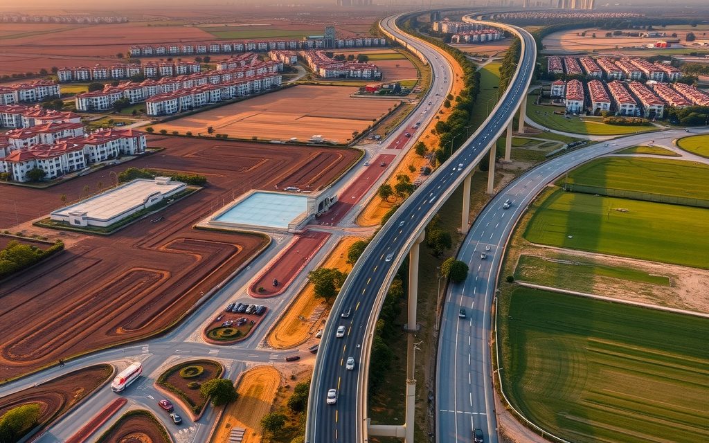
- Planned ring of roughly 340–360 km: northern arm about 160 km, southern arm about 190–200 km
- As of October 2026 the northern arm is further ahead; the southern alignment and acquisition are still being firmed up
- Acquisition follows the National Highways Act with compensation on 2013 Act principles, including 100% solatium
- Value concentrates 500 m – 3 km from confirmed interchanges on existing roads, not on frontage of an access-controlled road
- Never buy land whose survey numbers appear in an acquisition notification
| What | Indicative range | Note |
|---|---|---|
| Sangareddy, villages near the discussed RRR corridor | ₹50 L – ₹1.2 Cr per acre | indicative, Oct 2026 |
| Narsapur, interior villages (northern arm belt) | ₹45 L – ₹85 L per acre | indicative, Oct 2026 |
| Gajwel, reservoir command land with backup borewell | ₹45 L – ₹90 L per acre | indicative, Oct 2026 |
| Yadadri, villages 4–10 km out on a BT road | ₹35 L – ₹70 L per acre | indicative, Oct 2026 |
| Shadnagar, DTCP layouts toward the southern alignment | ₹5,500 – ₹11,000 per sq yd | indicative, Oct 2026 |
| Chevella, interior patta land (southern arm belt) | ₹55 L – ₹1 Cr per acre | indicative, Oct 2026 |
Ranges reflect recent transactions and advisor observation as of 2026-10. Always verify against the sub-registrar market value and the specific parcel.
The Regional Ring Road in Telangana is the most talked-about land story around Hyderabad, and also the most misunderstood. Almost every farm-land and plot advertisement between Sangareddy, Gajwel, Choutuppal and Shadnagar now carries the letters "RRR", often over a hand-drawn line on a map. This Regional Ring Road Telangana land guide sets out what the project actually is, how the northern and southern arms differ in status, how land acquisition works under the law, which belts sit near the proposed alignment, what has happened to prices there, and, most usefully, how far from the alignment a buyer should be. Where infrastructure is not built, we describe it as announced or proposed; treat anything firmer as something to verify at survey-number level.
Who this guide is for
It is for buyers considering farm land or plots in the belt roughly 30–45 km beyond the Outer Ring Road, for landowners in that belt wondering whether to sell or hold, and for families who have been offered "RRR-facing" land at a premium. NRIs should note that agricultural land is off limits to them; the plotted-land sections still apply.
What the Regional Ring Road is
The RRR is a planned access-controlled ring expressway encircling Hyderabad well outside the ORR, passing through district towns such as Sangareddy, Narsapur, Toopran, Gajwel, Bhongir, Choutuppal, Shadnagar and Chevella. In total it is expected to run to roughly 340–360 km, split into two arms:
- The northern arm, roughly 160 km, running from Sangareddy through the Narsapur, Toopran and Gajwel belt and on past Yadadri and Bhongir to Choutuppal on the Vijayawada highway.
- The southern arm, roughly 190–200 km, running from Choutuppal through the south-eastern and southern mandals toward Shadnagar and then north-west through the Chevella and Shankarpally belt back to Sangareddy.
The purpose is to divert long-distance freight away from the city, connect the radial national highways (NH-44 north and south, NH-65 east and west, NH-163 to Warangal and the Bijapur and Srisailam roads) without passing through the ORR, and open a new ring of towns and industrial nodes for development. Planners often describe the band between the ORR and the RRR as Hyderabad's next growth zone.
Regional Ring Road Telangana status: notified versus proposed
The single most important fact for buyers is that the two arms are at different stages. As of October 2026:
| Feature | Northern arm | Southern arm |
|---|---|---|
| Route (broad) | Sangareddy – Narsapur – Toopran – Gajwel – Yadadri / Bhongir side – Choutuppal | Choutuppal – south-eastern mandals – Shadnagar side – Chevella – Shankarpally – Sangareddy |
| Approximate length | About 160 km | About 190–200 km |
| Implementing route | Taken up as a national highway project, with acquisition notifications issued village by village | Alignment proposed by the state; process of approval and acquisition still being firmed up |
| What buyers can rely on | Survey numbers in published acquisition notifications for many villages | Indicative alignments only, which may shift |
| Our advice | Check every parcel against the notifications | Do not pay an RRR premium on an unofficial map |
This is consistent with what we say on our area pages: in Shadnagar, Chevella and Shankarpally we treat the southern arm as upside rather than a reason to buy, while in Gajwel, Narsapur and Sangareddy the northern arm is a more concrete factor that every parcel must be checked against. Status changes over time, so treat any table, including this one, as a starting point for verification.
How land acquisition for the RRR works
National highway land is acquired under the National Highways Act, 1956, with compensation determined using the principles of the Right to Fair Compensation and Transparency in Land Acquisition, Rehabilitation and Resettlement Act, 2013 (RFCTLARR). The broad sequence is:
- Intention notification (Section 3A): the government publishes its intention to acquire specified land, listing villages and survey numbers. From this point, dealings in the notified land are effectively frozen for practical purposes.
- Objections (Section 3C): landowners can file objections within the notified period, usually 21 days, before the competent authority, typically a revenue officer designated for land acquisition.
- Declaration (Section 3D): after objections are disposed of, the land vests in the government on publication of the declaration.
- Compensation award (Section 3G): the competent authority determines compensation. Under the 2013 Act principles, this is based on market value, multiplied in rural areas by a factor notified by the state (the law allows 1 to 2 depending on distance from urban areas), plus the value of structures, trees and borewells, plus a solatium of 100%.
- Arbitration (Section 3G(5)): a party dissatisfied with the award may apply to an arbitrator appointed by the government, usually a senior revenue official.
- Possession and payment: compensation is deposited and possession taken.
Two practical consequences follow. First, compensation is calculated from official values, not from what you paid. If you bought at a speculative premium, the award may be lower than your cost. Second, partial acquisition can leave an awkwardly shaped remainder, sometimes without access if the road is access-controlled.
To check whether a parcel's record carries any notation, start with the pattadar and survey details on the official land records portal, then check published acquisition notifications for the village with the revenue office. Inside the HMDA area, also review master-plan land use on HMDA's site, since road corridors and growth-zone designations appear there.
Which belts sit near the alignment, and what land costs there
The table lists the belts most commonly discussed in connection with each arm, with indicative bands from our area pages as of October 2026, drawn from recent transactions and advisor observation. Being in a listed belt does not mean a particular parcel is near the alignment; that has to be checked survey number by survey number.
| Belt | Arm | Indicative band | Area guide |
|---|---|---|---|
| Sangareddy (where the arms are expected to meet) | Both | Villages near the discussed RRR corridor: ₹50 L – ₹1.2 Cr per acre | Sangareddy farm land |
| Narsapur | Northern | Interior villages: ₹45 L – ₹85 L per acre; BT-road villages near the Medak highway: ₹90 L – ₹2 Cr | Narsapur farm land |
| Gajwel | Northern | Reservoir command with backup bore: ₹45 L – ₹90 L per acre; BT-road villages: ₹70 L – ₹1.6 Cr | Gajwel farm land |
| Gajwel plots | Northern | Approved venture within about 3 km of town: ₹8,000 – ₹16,000 per sq yd | Gajwel open plots |
| Yadadri | Northern | Villages 4–10 km out on a BT road: ₹35 L – ₹70 L per acre | Yadadri farm land |
| Bibinagar (inside the ring) | Northern, nearby | BT-road villages 2–5 km from the highway: ₹80 L – ₹1.6 Cr per acre | Bibinagar farm land |
| Shadnagar | Southern | Interior villages: ₹30 L – ₹55 L per acre; DTCP plots toward the alignment: ₹5,500 – ₹11,000 per sq yd | Shadnagar farm land |
| Chevella | Southern | Interior patta land: ₹55 L – ₹1 Cr per acre | Chevella farm land |
| Shankarpally | Southern | Interior patta land: ₹1.1 Cr – ₹2 Cr per acre; outer villages toward Vikarabad: ₹70 L – ₹1.2 Cr | Shankarpally farm land |
Two things stand out. First, the northern belts, where the project is more concrete, are still not expensive by Hyderabad standards: much of Gajwel, Narsapur and Yadadri interior land sits below ₹1 Cr per acre. Second, the southern belts closer to the city, Shankarpally in particular, are priced more by their proximity to the IT corridor than by the RRR. If the RRR were cancelled tomorrow, Shankarpally would still be expensive; parts of Narsapur would not.
What the RRR could change, and what it will not
Ring roads reshape land markets slowly and unevenly. Looking at how the ORR changed Hyderabad over the last fifteen years gives some guidance, with the caveat that the RRR runs through much more rural country and the city's growth will take longer to reach it.
What tends to happen near interchanges: logistics parks and warehousing arrive first, because freight operators want to avoid the city and the ORR. Roadside commercial uses follow, such as fuel stations, dhabas, truck services and showrooms. Over a longer period, if a district town is nearby, residential layouts spread toward the interchange. Industrial parks and townships announced by the state can accelerate this, but only once they are actually built.
What does not happen automatically: farm land 8 km from the nearest interchange does not become residential land because a ring road passes nearby. Without water, a town, jobs or a feeder road, demand stays agricultural. Many ORR-belt villages that were expected to boom in 2010 took more than a decade to see real development, and some are still largely farmland today.
Who benefits most: existing district towns on the ring, such as Sangareddy, Gajwel, Bhongir, Choutuppal and Shadnagar, already have schools, hospitals, markets and administrative offices. The RRR connects them to each other and to freight routes without going through Hyderabad. Approved plots on the growth side of these towns are a more grounded way to back the RRR than speculative farm land in between.
Timeline: from notification to a road you can drive on
| Stage | What happens | Typical duration on large highway projects | Effect on nearby land |
|---|---|---|---|
| Proposal and alignment studies | Feasibility, alignment options, public discussion | Several years | Speculative interest, unofficial maps |
| Acquisition notifications | 3A, objections, 3D, awards village by village | 1–3 years, often longer where disputes arise | Notified land freezes; nearby land re-prices |
| Tendering and award of works | Packages awarded to contractors | Months to a couple of years | Confidence rises; frontage near interchanges firms up |
| Construction | Earthwork, structures, interchanges | Typically 2–4 years per package | Visible progress pulls in end users |
| Opening and maturity | Traffic builds; logistics and towns respond | A decade or more for land use to change | Real demand replaces speculation |
These are general patterns from large road projects, not a schedule for the RRR. The practical message: if your plan depends on the RRR being open and busy, think in decades, not years.
For existing landowners: sell, hold or wait?
We regularly advise families who have held land in these belts for generations and are now receiving offers. A few principles help.
- If your land is inside a notification, you cannot sell it normally. Focus on making sure the award reflects every structure, borewell, tree and the correct extent, and take legal advice on objections and arbitration within the time limits.
- If your land is near a confirmed interchange, there is usually no hurry. Values tend to firm up as construction becomes visible. Make sure your records are mutated and clean so you can sell when you choose.
- If your land is far from the alignment, be wary of buyers using the RRR to justify a quick purchase at a modest premium, and equally wary of holding out for an RRR price that may never apply to your parcel.
- In every case, fix your documents first. Pending mutations, unpartitioned family holdings and boundary disputes cost more at sale time than any market movement.
Farm land or plots in the RRR belt?
For most buyers who want exposure to the RRR story without the acquisition and title risks of raw land, approved plots on the growth side of a district town are the simpler route. A DTCP plot in Shadnagar toward the alignment at ₹5,500 – ₹11,000 per sq yd, or an approved venture near Gajwel town at ₹8,000 – ₹16,000, carries a clearer approval trail and is open to NRIs. Farm land suits buyers who want to farm, plant an orchard or hold a larger block for a long time, and who are prepared to do the survey-level checking described above. See open plots in Shadnagar and open plots in Sangareddy for current plotted bands.
How far from the alignment should you buy?
This is the question we are asked most, and the answer runs against the instinct of many buyers. You do not want to be on the alignment; you want to be near an interchange, on an existing road. The RRR is planned as access-controlled, which means frontage on the expressway itself does not give you access to it. Value concentrates where traffic can get on and off.
| Distance from the alignment | What it means | Our view |
|---|---|---|
| Inside the right-of-way | Will be acquired at compensation rates | Avoid. Never buy notified land. |
| 0–500 m, away from an interchange | Noise, possible service-road uncertainty, no direct access, risk of extra land for widening or utilities | Usually avoid unless priced as ordinary farm land |
| 500 m – 3 km from a planned interchange, on an existing BT road | The sweet spot for long-term value; logistics, roadside commercial and housing demand cluster here | Good, if the interchange location is officially confirmed |
| 3–10 km, on a feeder road to an interchange | Benefits gradually as towns grow; still priced largely as farm land | Sensible for patient buyers; best value-to-risk |
| More than 10 km | Little direct RRR effect | Buy on local merits, not on the RRR |
The interchange locations matter far more than the line itself. Interchanges are most likely where the RRR crosses existing national and state highways: NH-44 near Toopran in the north and near Shadnagar in the south, NH-65 near Sangareddy and Choutuppal, NH-163 near the Bhongir side, the Rajiv Rahadari near Gajwel, and the Bijapur road near Chevella. Treat any claim about other interchanges as unconfirmed until officially published.
Step by step: checking whether a parcel is RRR-affected
| Step | What to do | Typical time | Indicative cost |
|---|---|---|---|
| 1. Get the survey number | Exact survey and sub-division number, not just the village name | Same day | None |
| 2. Check the land record | Pattadar, extent and any notation on Dharani / Bhu Bharati | 1–2 days | Nominal |
| 3. Check acquisition notifications | Search published notifications for the village; ask the Tahsildar or the land-acquisition office | 3–10 days | Nominal; advocate time if needed |
| 4. Map the parcel | Licensed surveyor plots boundaries against the village map and the notified alignment | 3–7 days | ₹10,000 – ₹40,000 |
| 5. Confirm interchange and access | Check whether an existing public road connects the parcel to the nearest planned interchange | 1–2 days on site | Your time |
| 6. Full title search | EC for 30 years, link documents, 22-A and assigned-land checks | 1–3 weeks | ₹25,000 – ₹75,000 |
| 7. Register | Agricultural land at the mandal Tahsildar office; plots at the jurisdictional SRO | 1 day once booked | Roughly 6% of registered value, verify current rates |
Worked example: two parcels near Gajwel
A Hyderabad family is offered two five-acre parcels in the Gajwel belt. The figures below are hypothetical, to show the logic.
- Parcel A lies about 4 km from a planned interchange on the Rajiv Rahadari, on a BT village road, outside any notification. Asking price ₹85 L per acre, within the band for reservoir-command land with a backup borewell.
- Parcel B touches the alignment itself and is advertised as "RRR frontage" at ₹1.5 Cr per acre. On checking, 1.5 acres of it fall inside the notified corridor.
| Parcel A | Parcel B | |
|---|---|---|
| Price for 5 acres | ₹4.25 Cr | ₹7.5 Cr |
| Registration at roughly 7.5% | About ₹31.9 L | About ₹56.2 L |
| Land at risk of acquisition | None found | 1.5 acres |
| Hypothetical compensation for 1.5 acres (official value ₹25 L per acre × factor 2 × 100% solatium) | Not applicable | About ₹1.5 Cr, against ₹2.25 Cr paid for that land |
| Access to the RRR after construction | Via existing road to the interchange | None from the frontage; same detour as Parcel A or longer |
| Remaining usable land | 5 acres | 3.5 acres, possibly irregular |
Parcel B costs almost twice as much and carries a built-in loss on the acquired portion, while offering no better access. Parcel A is the sounder purchase. The actual compensation in any case depends on the official market value and multiplier notified for that village, which can differ substantially from these illustrative numbers.
Eight questions to ask anyone selling "RRR land"
Before a site visit, send the seller or agent these questions in writing. The quality of the answers tells you a great deal.
- What are the exact survey and sub-division numbers, and in whose name is each recorded on Dharani / Bhu Bharati?
- Which arm of the RRR are you referring to, and what official document shows the alignment you are relying on?
- Does any part of these survey numbers appear in an acquisition notification? If not, how far is the nearest notified survey number?
- Where is the nearest officially planned interchange, and which existing public road connects this land to it?
- What is the approach road today: BT, gravel or cart track, and is it a public road or a private passage?
- What is the water source, borewell depth and summer yield?
- Is the land free of 22-A, assigned-land, ceiling, forest and lake-buffer issues, and can you share the 30-year encumbrance certificate and link documents?
- For a plot, which authority approved the layout, what is the permit number, and is this plot released?
A seller who cannot answer the first four questions is selling a story, not a parcel.
Mistakes we see in practice, and the fix
- Buying from a WhatsApp alignment map. Unofficial maps of the southern arm have circulated in several versions. Fix: rely only on official notifications and published plans.
- Paying for "RRR frontage". On an access-controlled road, frontage is not access. Fix: pay for proximity to an interchange on an existing road.
- Buying notified land at a discount. Some sellers offer notified land cheaply hoping to pass on acquisition risk. Fix: walk away; title and compensation disputes follow.
- Assuming compensation will match market price. Fix: understand that awards are calculated from official values and multipliers.
- Ignoring the remainder. A partly acquired parcel can lose access or shape. Fix: map any acquisition overlap before buying neighbouring land.
- Forgetting the basics. RRR excitement causes buyers to skip title checks. Fix: run the full checklist in our agricultural land buying guide regardless.
- Expecting quick returns. Ring roads take years from notification to opening, and towns grow around them over a decade or more. Fix: hold for ten years or do not buy on the RRR story.
NRIs and RRR land
Most RRR-belt land is agricultural, which NRIs and OCIs cannot buy or receive as a gift under FEMA; they can only inherit it. NRIs who want exposure to the corridor can consider approved residential plots in towns such as Sangareddy, Gajwel or Shadnagar. Our NRI agriculture land rules page explains the limits.
How NRR Estates handles RRR-belt purchases
We start by separating the RRR story from the land's own merits: water, soil, road access, title and price against the local band. For every parcel we pull the land record, check acquisition notifications for the village, have a licensed surveyor map the boundaries against the alignment, and confirm the access route to the nearest officially planned interchange. We negotiate on the basis of that evidence, which frequently means pushing back on "RRR premiums" that the facts do not support. We then handle registration at the Tahsildar office or SRO and follow through to mutation. Our fees are disclosed before you commit.
For a wider view of the inner ring, read our ORR growth corridors guide and our farm-land price map within 50 km of Hyderabad.
Regional Ring Road: questions landowners and buyers ask
What is the current status of the Regional Ring Road in Telangana?
As of October 2026, the northern arm, running roughly from Sangareddy through Narsapur, Toopran and Gajwel to the Bhongir side and Choutuppal, is further ahead and has been taken up as a national highway project with village-wise acquisition notifications. The southern arm, from Choutuppal through the Shadnagar side and Chevella back to Sangareddy, has a state-proposed alignment that is still being firmed up. Status changes over time, so always check the latest official notifications for the specific village and survey number before relying on any map or brochure.
Which towns are on the RRR route?
Towns commonly associated with the northern arm include Sangareddy, Narsapur, Toopran, Gajwel, the Yadadri and Bhongir side and Choutuppal. Towns associated with the proposed southern arm include Choutuppal, the Shadnagar side, Chevella and Shankarpally, with the two arms expected to meet near Sangareddy. Being in one of these towns or mandals does not mean a particular parcel is near the alignment. The exact route passes through specific villages and survey numbers, which you must check against official notifications and a licensed survey.
How far from the RRR alignment should I buy land?
Our general advice is to look for land roughly 500 metres to 3 km from an officially confirmed interchange, on an existing public road that leads to it. The RRR is planned as access-controlled, so frontage on the expressway does not give access, and land right beside it carries noise and possible extra acquisition risk. Land 3 to 10 km away on a feeder road is often the best balance of value and risk for patient buyers. Beyond about 10 km, buy on the land's own merits rather than the RRR story.
How is compensation calculated if my land is acquired for the RRR?
National highway acquisitions follow the National Highways Act, 1956, with compensation determined on the principles of the 2013 land acquisition law. Broadly, the competent authority takes the market value, applies a multiplier for rural land notified by the state within the range the law allows, adds the value of structures, trees and borewells, and then adds a solatium of 100%. Owners can object after the intention notification and seek arbitration if dissatisfied with the award. Take legal advice promptly, as the time limits are short.
Should I pay extra for land with RRR frontage?
Usually not. The RRR is planned as an access-controlled expressway, so frontage on the main carriageway does not give you a way on or off the road. Frontage land may also face noise, service-road uncertainty and the risk of additional land being taken for widening or utilities. Value tends to concentrate near interchanges on existing roads. If a seller is charging a large premium for frontage, ask which interchange the land can actually reach and by what public road, and compare the price with land a few kilometres away.
Is it safe to buy land in a village where RRR notifications have been issued?
It can be, as long as your specific survey numbers are not included and you have checked how close the nearest notified parcel is. Get the exact survey and sub-division numbers, compare them with the published notification for the village, and have a licensed surveyor map the boundaries against the alignment. Never buy land that is itself notified, even at a discount, because it is effectively frozen and compensation will be calculated from official values. Also run the normal title checks; RRR excitement is no reason to skip them.
How long will it take for the RRR to raise land prices?
Speculative prices often rise as soon as alignments are discussed, but sustained increases usually follow visible construction and, later, actual traffic and development. On large highway projects, acquisition, tendering and construction together often take several years, and land use around a new ring road can take a decade or more to change. The ORR is a useful reminder: some villages near it boomed quickly, others remained largely agricultural for many years. Buy RRR-belt land only if you are comfortable holding it for ten years or longer.
Can NRIs buy land near the Regional Ring Road?
NRIs and OCI cardholders cannot buy agricultural land, plantation property or farmhouses in India, and cannot receive them as a gift, so most raw land in the RRR belt is off limits to them. They can inherit such land and sell it to resident Indians. NRIs can, however, buy approved residential plots, villas and apartments in RRR towns such as Sangareddy, Gajwel and Shadnagar, subject to the normal FEMA rules on payment and repatriation. Take advice from a CA on tax and repatriation before purchasing.
Related guides
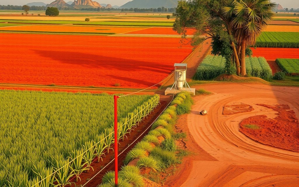
Farm land 35–40 km past the ORR on the Rajiv Rahadari, inside the Kondapochamma and Mallanna Sagar commands and on the RRR alignment. Mandal guide, field-level water reality, indicative per-acre prices and Gajwel-specific title checks.
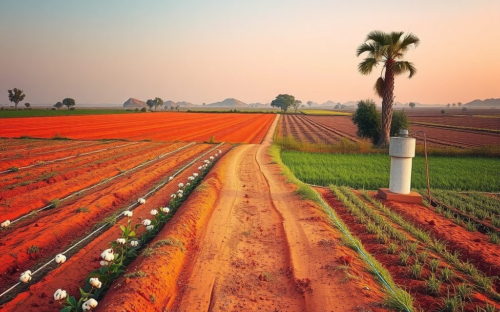
District-headquarters farm land on the Mumbai highway, 25 km past the Patancheru ORR exit. Red loam and black soil, cotton and maize country, larger blocks at a fraction of inner-ring prices.
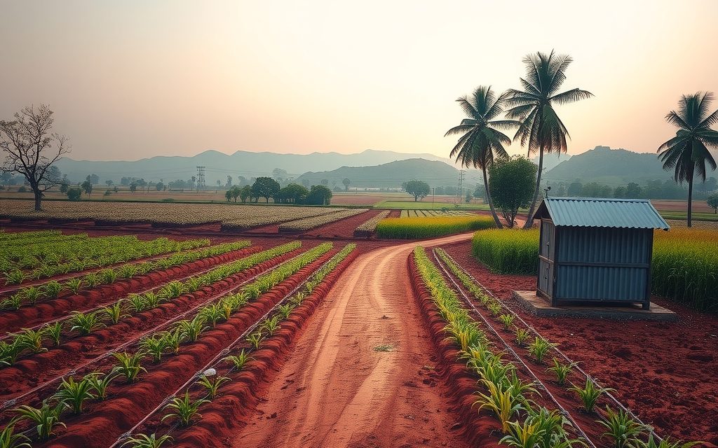
Forest-edge farm land 30 km past the ORR's Dundigal exit on the Medak highway. What the reserve forest gives and restricts, the real water picture, managed farm plots, indicative per-acre prices and Narsapur's title checks.
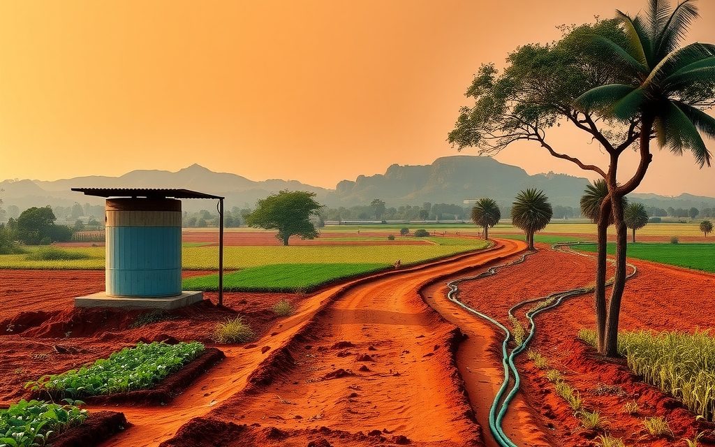
Red-soil farm land, orchards and highway land banks along NH-44, 30 km south of the ORR. Indicative per-acre prices, water reality, RRR outlook and the documents to verify before buying in Shadnagar.
Approved plots in the Bengaluru-highway town 30-odd km beyond the airport: town, NH-44 and RRR pockets, indicative HMDA and DTCP prices, frontage rules and what to verify before you pay.

About ten farm belts sit within roughly 50 km of Hyderabad, and interior land ranges from about ₹30 L to ₹4.5 Cr an acre. This map compares them on price, drive time, water and title risk.
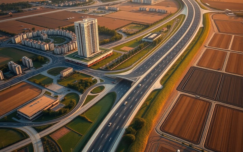
The 158 km ORR is really twenty small property markets, one around each exit. This guide goes round the ring sector by sector: what has grown, indicative prices, and which infrastructure is built versus announced.

NRIs and OCIs cannot buy or receive gifts of agricultural land, plantations or farmhouses; inheritance is the only route. What inherited land allows, why benami workarounds are dangerous, and the lawful alternatives near Hyderabad.