Agriculture & Farm Land in Kalwakurthy, Nagarkurnool District
Kalwakurthy is where the Srisailam highway leaves Hyderabad's price gradient behind and farming value takes over. Lift-irrigated land, borewell red soil and cheap rainfed acreage sit side by side: indicative per-acre bands and the checks that separate them.
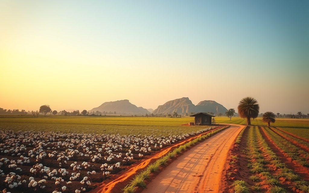
- About 85 km from central Hyderabad and roughly 65 km from the ORR at Tukkuguda on NH-765
- Kalwakurthy lift canals and tanks irrigate parts of the mandal; tail-end villages get water late or not at all
- Red chalka and loam soils on granite with rock outcrops; borewells typically 300–700 ft
- Cotton, paddy, groundnut and red gram, with sweet lime and mango orchards
- Unconverted farm land registers at the mandal Tahsildar office with mutation in the same step
| What | Indicative range | Note |
|---|---|---|
| Srisailam highway (NH-765) frontage near Kalwakurthy town | ₹80 L – ₹2 Cr per acre | indicative, Oct 2026 |
| Town fringe within about 5 km, BT road | ₹50 L – ₹1.3 Cr per acre | indicative, Oct 2026 |
| Lift-canal or tank-fed land with proven rabi water | ₹20 L – ₹40 L per acre | indicative, Oct 2026 |
| Red-soil land with working borewells and power | ₹15 L – ₹30 L per acre | indicative, Oct 2026 |
| Rainfed dry land, interior villages | ₹8 L – ₹18 L per acre | indicative, Oct 2026 |
| Farm plots in fenced farm ventures near the highway | ₹1.2 L – ₹3 L per gunta | indicative, Oct 2026 |
Ranges reflect recent transactions and advisor observation as of 2026-10. Always verify against the sub-registrar market value and the specific parcel.
Drive south from the Outer Ring Road at Tukkuguda on the Srisailam highway and the city thins out fast. Past Kadthal and Amangal the fields turn a deep brick red, granite boulders sit in the middle of cotton plots, and roughly 65 km from the ORR you reach Kalwakurthy, a busy market town where the highway, the lift-irrigation canals and the old rainfed economy of the Mahabubnagar uplands all meet. Agriculture land in Kalwakurthy is one of the clearest examples in Telangana of a single fact driving price: whether a parcel gets lift water or not. Two fields a kilometre apart, same red soil, same road, can differ two- or three-fold per acre. This guide explains why, gives indicative per-acre ranges as of October 2026, walks through the documents you must see, and covers registration at the Kalwakurthy Tahsildar office.
Kalwakurthy is a mandal and revenue-division town in Nagarkurnool district, which was carved out of the old Mahabubnagar district in 2016. The town itself is a junction: the highway runs north-south through it, a road goes west to Nagarkurnool and Jadcherla, and another runs east towards Vangoor and the Dindi side of Nalgonda. Around it lie farming mandals such as Veldanda, Vangoor and Urkonda, with Talakondapally and Amangal across the district line in Rangareddy.
Why buyers are looking at farm land in Kalwakurthy
Three things have pushed Kalwakurthy onto the shortlists of Hyderabad buyers in the last few years.
The lift scheme carries its name. The Mahatma Gandhi Kalwakurthy Lift Irrigation Scheme was conceived for exactly these uplands, which have no river of their own and historically farmed one rainfed crop a year. After decades of delay the scheme began delivering water in stages over the last decade, filling village tanks and running canals into mandals that had never seen surface irrigation. In villages where that water now arrives reliably, paddy is grown in both seasons, borewells recharge, and the land market has re-rated.
The squeeze further north. The stretch of the Srisailam highway between Tukkuguda, Kandukur and Kadthal has been swept into Hyderabad's southern growth story, with the state's planned Future City and associated industrial and institutional land banks pushing acreage prices there well beyond what a farmer or a weekend-farm buyer can pay. Buyers who still want working farmland on the same highway have moved further south, past Amangal, and Kalwakurthy is the first town where per-acre prices drop back into farming territory.
The drive is manageable. At about 85 km from central Hyderabad, Kalwakurthy is a day trip without strain: leave after breakfast, walk two or three parcels, eat lunch in town and be back in the city before the evening traffic. That puts it within reach of people who want to supervise a farm themselves once or twice a month rather than hand it entirely to a caretaker.
Location and access: the Srisailam highway corridor
NH-765, the Hyderabad–Srisailam highway, is the spine of everything here. From the ORR at Tukkuguda it runs through Kadthal and Amangal to Kalwakurthy, then continues south to Achampet, Mannanur and the Nallamala ghat to Srisailam. Pilgrim and tourist traffic is heavy at weekends and during festivals, which keeps roadside commerce lively and highway frontage expensive.
- Hyderabad (central): roughly 85 km, typically one hour forty-five minutes to two hours.
- ORR at Tukkuguda: about 65 km north on the highway.
- Rajiv Gandhi International Airport: roughly 70–75 km, via Tukkuguda and the ORR.
- Amangal: about 20 km north, in Rangareddy district, the last town before the Future City belt.
- Nagarkurnool (district headquarters): about 25–30 km south-west.
- Jadcherla and NH-44: roughly 45–50 km west, with the Secunderabad–Kurnool rail line.
- Achampet: about 50 km south, gateway to the Amrabad forest.
The proposed southern arc of the Regional Ring Road is planned to cross the Amangal side, between Kalwakurthy and the ORR. Its final alignment and timeline were still being worked through at our last review, so we treat it as a medium-term access improvement for the northern edge of the mandal, not a reason to pay a premium today. Widening of the Srisailam highway has also been discussed and taken up in stages; check the latest status before buying frontage, because a widened road can take a strip of your land and change your access.
There is no railway in Kalwakurthy. The nearest stations are at Jadcherla and Mahabubnagar on the Kurnool line, and in practice almost every buyer drives.
Soil, water and what grows around Kalwakurthy
Red soils on granite
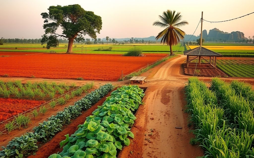
The landscape is classic Deccan granite country. Soils are red: sandy, quick-draining chalka on the higher ground, deeper red loam in the shallow valleys and around tank beds, with occasional black patches along streams. Sheet rock and boulders are common, sometimes covering a fifth of a parcel. A field that looks like five clean acres from the road may have an acre of rock at the back. Walk every boundary, and ask for the extent of cultivable land separately from the documentary extent.
Lift water: canals, tanks and the tail-end problem
The Kalwakurthy lift scheme draws Krishna water from the Srisailam foreshore near Kollapur and raises it in stages through a chain of reservoirs before it flows north through canals and fills village tanks. Kalwakurthy sits towards the far end of that system. In practice this means:
- Villages directly on a functioning canal or a tank that the scheme fills each season are the irrigated core, and they price accordingly.
- Villages near distributaries that are incomplete, or at the tail of a long canal, receive water late, irregularly or not at all in a dry year.
- Summer supply depends on the level in Srisailam and on pumping schedules, so even "irrigated" land can go dry in a bad monsoon year.
The single most useful question to ask any seller is simple: what did this field grow last rabi season, and where did the water come from? A yes backed by a neighbour's word and a green field in February is worth more than any map.
Borewells
Outside reliable command, farming depends on borewells into weathered and fractured granite. Water typically comes between 300 and 700 feet, shallower near filled tanks and deeper on ridges. Yields vary sharply from one bore to the next. A parcel with two working bores, a sanctioned agricultural power connection and a transformer within reach carries a real premium, because drilling is a gamble and new power connections can take time.
Crops and orchards
- Cotton: still the main kharif crop on rainfed red soil.
- Paddy: has spread rapidly wherever lift water or full tanks arrived.
- Groundnut and red gram: traditional dry-land crops, often intercropped.
- Sweet lime: the orchard crop most suited to drained red loam here, and the one Hyderabad buyers most often plant.
- Mango: grown widely, though the stronger mango tradition lies further south towards Kollapur.
- Custard apple: hardy and almost self-sowing on rocky ground.
Dry land versus irrigated land: reading the price gap
Every negotiation in Kalwakurthy comes back to water, so it is worth understanding how the market prices it.
Rainfed land supports one crop a year, usually cotton or red gram, and its income swings with the monsoon. Its value is mostly land-bank value: what someone will pay for it in ten years. Land with assured lift or tank water supports two crops, can carry paddy, and recharges its own bores. Its value combines farm income and land-bank value, which is why it trades at roughly double the per-acre price of comparable dry land, and sometimes more.
Between the two lies a grey zone that catches city buyers out: land described as "canal land" or "in the command" that does not actually receive water. Common versions include:
- Land beside a dry distributary channel that was dug but never connected.
- Land above the canal level, which cannot receive water by gravity.
- Land in a tank's notional ayacut where the tank only fills in good years.
We price such parcels as borewell land with a small option value for future water, not as irrigated land. If a seller insists on irrigated pricing, ask to see the field in February or March.
Indicative price bands for agriculture land in Kalwakurthy
These ranges reflect recent transactions and advisor observation as of October 2026. They are indicative, not quotes. Water, road frontage, rock content, title quality and distance from town move individual parcels sharply.
| Parcel type and location | Indicative range | What drives it |
|---|---|---|
| Srisailam highway (NH-765) frontage near Kalwakurthy town | ₹80 L – ₹2 Cr per acre | Visibility, roadside commercial use, widening impact |
| Town fringe within about 5 km, BT road | ₹50 L – ₹1.3 Cr per acre | DTCP layout potential, conversion prospects |
| Lift-canal or tank-fed land with proven rabi water, BT road | ₹20 L – ₹40 L per acre | Reliability of water, two-crop record |
| Red-soil land with working borewells and power connection | ₹15 L – ₹30 L per acre | Bore yield, rock content, approach road |
| Rainfed dry land, interior villages towards Veldanda and Vangoor | ₹8 L – ₹18 L per acre | Access, monsoon dependence, title quality |
| Farm plots in fenced farm ventures near the highway | ₹1.2 L – ₹3 L per gunta | Fencing, plantation, internal roads, individual deeds |
One gunta is one-fortieth of an acre, about 121 square yards. A farm-venture plot at ₹2 lakh per gunta works out to ₹80 lakh per acre, which is why we always compare per-gunta prices against the per-acre price of plain farmland a few kilometres away. The premium pays for fencing, plantation and management, and it is a premium you may not recover on resale.
The northern edge: how Future City pricing ripples south
The planned Future City and the land pooling and acquisition activity on the Kandukur, Kadthal and Amangal side have created a steep price gradient along the Srisailam highway. Near the ORR, land is priced in crores per acre for urban use. Moving south, every few kilometres the price steps down, until farming value takes over somewhere around Kalwakurthy.
That gradient creates two kinds of buyer here. The first is the farmer or orchard buyer who simply wants the cheapest workable irrigated land within two hours of the city. The second is the land banker betting that the gradient will slowly move south. Both can be right, but the second buyer should be honest about timing. Kalwakurthy is a long way from the Future City core, and land-bank appreciation here depends on announcements and road projects that may take years. Price the land on what it can earn as a farm, and treat any urban spillover as upside.
A practical warning: as interest has grown, some intermediaries have begun describing Kalwakurthy parcels as "near Future City" or "on the RRR". Measure the actual distance and check the published alignment yourself. Marketing language travels faster than infrastructure.
Types of parcels you will be shown
Patta farm land
The bulk of the market: individually owned land with a pattadar passbook, usually in holdings from two to fifteen acres. Larger blocks exist in rainfed villages, often assembled from several family holdings. Expect to deal with brothers, cousins and multiple legal heirs.
Farm plots in gated farm ventures
A handful of developers sell fenced, planted parcels of a few guntas each near the highway, often with sandalwood, mango or sweet lime and a management contract. These are agricultural land, not residential plots: you cannot get a DTCP house permission on them without conversion. Each buyer must receive a registered sale deed for a defined, surveyed sub-division of a survey number, with mutation into their name. Undivided-share arrangements and "membership" models are much weaker. Our guide to managed farmland schemes sets out what to check.
Orchards
Established sweet lime or mango blocks, sometimes with a fruit-trader lease running. These are the most liquid farm assets in the area because they produce visible income and are easy for the next buyer to understand.
Highway-side land with farmhouse potential
Parcels on or near NH-765 attract buyers who want a farmhouse and future commercial optionality. A farmhouse on agricultural land in a gram panchayat needs local building permission, and any commercial use needs NALA conversion. Keep the highway setback and any widening plan in mind before designing anything near the road.
Legal checklist for Kalwakurthy agriculture land
We run every Telangana farm-land purchase through the same core checks, with area-specific points added. For Kalwakurthy:
- Pattadar passbook in the seller's name, matching the survey number, sub-division and extent.
- Bhu Bharati record of rights, which replaced Dharani in 2025, for current ownership, land classification and any prohibited-property flag. You can view records on the state land records portal; we cross-check with certified copies.
- Pahani and 1B history over as many years as available, to confirm cultivation, classification and any past change of name.
- Encumbrance certificate for 30 years, to catch mortgages, prior sales and attachments.
- Link documents back to the earliest available record: sale deeds, partition deeds, succession and family-member certificates. In this district many holdings have passed by unregistered family partition, which must be regularised before sale.
- Survey number, sub-division and FMB sketch, with a licensed surveyor fixing boundaries on the ground. Rock and stream boundaries are often vague in old maps.
- Section 22-A prohibited properties list: government, endowment, wakf and other restricted lands cannot be registered.
- Assigned land: land assigned to landless families under government schemes cannot be sold under the POT Act. In dry villages around Kalwakurthy assigned parcels are common and are sometimes offered informally at low prices. Do not touch them.
- 58/59 regularisation papers for any town-edge parcel built on or regularised from government land.
- Canal and tank boundaries: confirm the parcel does not include canal land, a tank bed or the full tank level area, and that no acquisition for lift canals or distributaries is pending.
- Highway acquisition: for frontage, check whether any strip has been notified for widening.
- Forest, ceiling and ULC history, and NALA status if you plan any non-agricultural use.
For the detail behind items 7 and 8, read our explainer on assigned land and 22-A prohibited properties.
Registration and charges in Kalwakurthy
Unconverted agricultural land registers at the Kalwakurthy mandal Tahsildar office (or the Tahsildar of whichever mandal the survey number falls in), where the Tahsildar acts as joint sub-registrar and the mutation into your name is processed in the same step through Bhu Bharati. You book a slot, both parties attend with identity documents and witnesses, and the passbook follows.
NALA-converted land, DTCP layout plots and buildings register at the jurisdictional Sub-Registrar Office. A sub-registrar office functions in Kalwakurthy town; we confirm the correct office from the survey number before booking.
| Charge | Approximate rate (Oct 2026) | Notes |
|---|---|---|
| Stamp duty | About 5.5% | On the higher of market value and consideration |
| Transfer duty | About 1.5% | Not levied in gram panchayat areas, where the registration fee is higher |
| Registration fee | About 0.5% (about 2% in gram panchayat areas) | Total roughly 7.5% either way |
Rates are revised from time to time, so we verify them on the Telangana registration portal and at the office on the day. The 1% TDS under Section 194-IA on purchases above ₹50 lakh does not apply to rural agricultural land; it does apply to converted plots and urban property, including some town-fringe parcels.
A worked example: costing a five-acre sweet lime block
To make the numbers concrete, here is how a typical Hyderabad buyer's budget looks for a bare five-acre parcel with one working bore, on a BT road, about 8 km from Kalwakurthy town. All figures are indicative.
- Land: at ₹22 lakh per acre, about ₹1.1 crore.
- Stamp duty and registration: roughly 7.5% of the higher of market value and price, about ₹8 lakh to ₹8.5 lakh.
- Survey, legal verification and document regularisation: typically ₹50,000 to ₹1.5 lakh depending on how messy the family title is.
- Fencing: chain-link or stone-post fencing of a five-acre perimeter is a significant cost; budget several lakh.
- Second bore and farm pond: a second bore is a gamble; a lined pond gives summer security.
- Drip and saplings: sweet lime at standard spacing, drip lines, and three years of care before the first meaningful crop.
- Caretaker room: a simple structure and a resident family, essential at this distance.
The lesson is that the land cost is only part of the bill. Development and three to four years of running costs before income can easily add a third or more to the land price. Buyers who budget only for the land are the ones who end up selling a half-planted orchard.
Who should buy here, and who should not
Kalwakurthy suits:
- Buyers who want working irrigated farmland within two hours of Hyderabad and will verify the water themselves.
- Orchard investors planning sweet lime or mango and willing to wait three to five years for returns.
- Patient land bankers who understand that the Srisailam highway gradient may move south, but not on a fixed schedule.
- Families from the old Mahabubnagar region consolidating holdings near home.
Kalwakurthy is a poor fit for:
- Anyone wanting a weekend farmhouse within an hour of the city. Look at farm land in Maheshwaram or agriculture land in Kandukur instead, at a much higher price per acre.
- Investors expecting quick resale: rural land here can take months to sell.
- Buyers who cannot visit at least seasonally or hire reliable local supervision.
For the wider district picture, including Kollapur's orchards and the forest-edge rules near Achampet, read our guide to agriculture land in Nagarkurnool district. If you would rather buy a house plot in town, see open plots in Kalwakurthy. West on NH-44, farm land around Jadcherla offers a rail-connected alternative.
NRI note: agricultural land and FEMA
NRIs and OCI cardholders cannot buy agricultural land, plantations or farmhouses in India under FEMA rules, and they cannot receive such property as a gift. They can inherit it from a resident Indian, and an inherited farm can later be sold only to a resident Indian. Many Kalwakurthy families have members in the Gulf and the US; the lawful route to add farmland to the family is a purchase by a resident relative using their own funds, with no NRI money routed through them. NRIs can buy open plots, villas and apartments. Our page on NRI rules for agricultural land in Telangana has the detail, and a chartered accountant should advise on tax.
How NRR Estates helps you buy in Kalwakurthy
We are advisors, and our fee is disclosed in writing before you commit to anything. For Kalwakurthy, a typical engagement covers:
- Shortlisting by water: we sort parcels into canal-fed, tank-fed, borewell and rainfed before we show you anything, so you are comparing like with like.
- Site visits: in person from Hyderabad, or on video for buyers who cannot travel, including a February or March visit to confirm rabi water where it matters.
- Document verification: passbook, Bhu Bharati record, pahani, EC, link documents, 22-A and assigned-land checks, through our panel lawyer.
- Survey: a licensed surveyor marks boundaries and measures cultivable versus rocky extent.
- Negotiation: against recent comparable sales, with water status as the anchor.
- Registration and mutation: slot booking at the Tahsildar office or SRO, charge calculation and follow-up until the passbook reflects your name.
Kalwakurthy farm land: frequently asked questions
What does agriculture land in Kalwakurthy cost per acre?
As of October 2026, indicative ranges are roughly ₹20 lakh to ₹40 lakh per acre for land with proven lift-canal or tank water on a BT road, ₹15 lakh to ₹30 lakh for red-soil land with working borewells, and ₹8 lakh to ₹18 lakh for rainfed interior land. Town-fringe parcels run about ₹50 lakh to ₹1.3 crore and Srisailam highway frontage ₹80 lakh to ₹2 crore per acre. These come from recent transactions and advisor observation and vary with water, rock content and title.
Does the Kalwakurthy lift scheme actually irrigate land in Kalwakurthy mandal?
Partly. The scheme lifts Krishna water from the Srisailam foreshore near Kollapur through a chain of reservoirs and then fills canals and village tanks further north. Kalwakurthy lies towards the far end of the system, so villages on a working canal or a tank the scheme fills are well served, while tail-end villages and land beside unfinished distributaries get water late, irregularly or not at all. Always ask what the field grew last rabi season and visit in February or March if you can.
Why is irrigated land so much more expensive than dry land here?
Because water decides what the land can earn. Rainfed land supports one crop a year, usually cotton or red gram, and its income swings with the monsoon. Land with assured lift or tank water supports two crops including paddy and recharges its own borewells. That combination of steady farm income and land-bank value is why irrigated parcels often trade at roughly double comparable dry land. The trap is land described as canal land that never actually receives water.
How far is Kalwakurthy from Hyderabad?
Kalwakurthy town is roughly 85 km from central Hyderabad and about 65 km from the Outer Ring Road at Tukkuguda. The route follows NH-765, the Hyderabad–Srisailam highway, through Kadthal and Amangal, and typically takes one hour forty-five minutes to two hours. Nagarkurnool is about 25–30 km south-west, Jadcherla and NH-44 roughly 45–50 km west, and Achampet about 50 km south on the way to Srisailam. There is no railway in the town itself.
Will Future City or the Regional Ring Road raise land prices in Kalwakurthy?
Possibly over the long term, but do not pay for it today. Future City and related land activity sit on the Kandukur, Kadthal and Amangal side, well north of Kalwakurthy. The proposed southern arc of the Regional Ring Road is planned to cross the Amangal side, and its alignment and timing were still being worked through at our last review. Price land on its farming value and treat any urban spillover as upside. Be wary of parcels marketed as near Future City.
Where is agricultural land in Kalwakurthy registered?
Unconverted agricultural land registers at the Tahsildar office of the mandal where the survey number lies, usually Kalwakurthy itself. The Tahsildar acts as joint sub-registrar and mutation is processed in the same step through Bhu Bharati. Converted land, DTCP plots and buildings go to the jurisdictional Sub-Registrar Office, which we confirm from the survey number. Stamp duty, transfer duty and registration fee together come to roughly 7.5% of value, and we verify current rates on the day.
Are farm plots in gated farm ventures near Kalwakurthy safe to buy?
They can be, provided the structure is sound. Insist on a registered sale deed for a specific, surveyed sub-division in your name, followed by mutation, not an undivided share or a membership certificate. Check the parent survey number's title, 22-A and assigned-land status, and the management contract terms. Compare the per-gunta price with plain farmland nearby: at ₹2 lakh per gunta you are paying ₹80 lakh per acre, a premium for fencing and plantation that may not be recovered on resale.
Can an NRI buy farm land in Kalwakurthy?
No. Under FEMA rules NRIs and OCI cardholders cannot buy agricultural land, plantations or farmhouses in India, and cannot receive them as a gift. They can inherit agricultural land from a resident Indian and may sell inherited farm land only to a resident Indian. A resident relative can buy using their own funds, but NRI money must not be routed through them. Open plots, villas and apartments are permitted purchases for NRIs. A chartered accountant should advise on tax and repatriation.
Related guides
Nagarkurnool runs from the Jadcherla plains to the Krishna and the Nallamala forest. Lift-irrigated farms, mango and sweet lime orchards, cheap rainfed acreage and restricted forest-edge land: indicative per-acre bands and the checks that matter.
Kalwakurthy is a Srisailam-highway town about 65 km from the ORR, transformed by the Kalwakurthy lift scheme. DTCP layouts, indicative per sq yd bands, corridor comparisons and the checks every buyer needs.
Red-soil farmland around the NH-44 junction town, about 70–75 km from the ORR at Shamshabad. Indicative prices, borewell and soil realities, what the Palamuru–Rangareddy lift scheme does and does not offer yet, acquisition checks and Tahsildar registration.
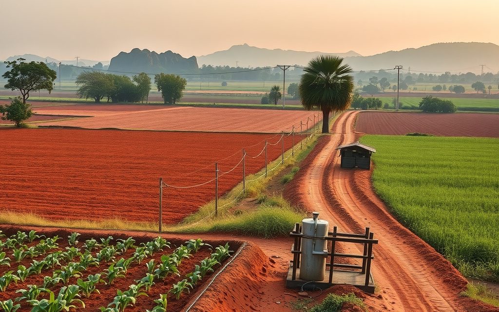
Red-soil farm land on the Srisailam highway, 15 km south of the Tukkuguda ORR exit and next to the Future City area. Good access and low interior prices, with acquisition and zoning checks essential.
Red-soil farm land 15 km from the airport and 10 km from the Tukkuguda ORR exit, beside Fab City. Interior villages still farm vegetables, flowers and mango; ORR-facing land trades as future plot land.
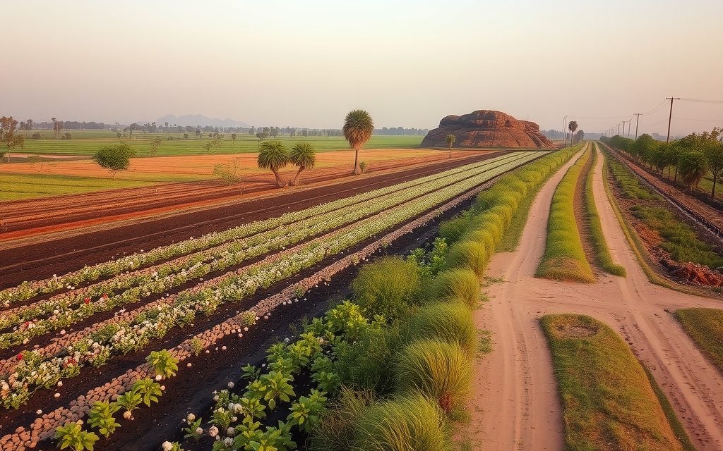
Devarakonda offers some of the lowest acreage prices in Nalgonda district: dry-land cotton and red gram country below a medieval hill fort. Why it is cheap, which irrigation promises to discount, and the title checks that matter most here.
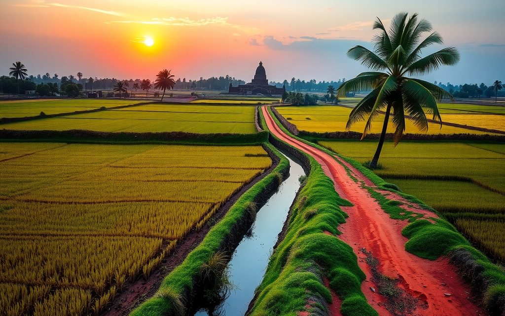
NRIs and OCIs cannot buy or receive gifts of agricultural land, plantations or farmhouses; inheritance is the only route. What inherited land allows, why benami workarounds are dangerous, and the lawful alternatives near Hyderabad.
Red-soil farmland 4 km from the ORR beside the Aerospace SEZ and TCS campus. Interior villages still farm vegetables and mango; land near the SEZ is priced as future layout land and needs careful acquisition checks.