Agriculture & Farm Land in Devarakonda, Nalgonda District
Devarakonda offers some of the lowest acreage prices in Nalgonda district: dry-land cotton and red gram country below a medieval hill fort. Why it is cheap, which irrigation promises to discount, and the title checks that matter most here.
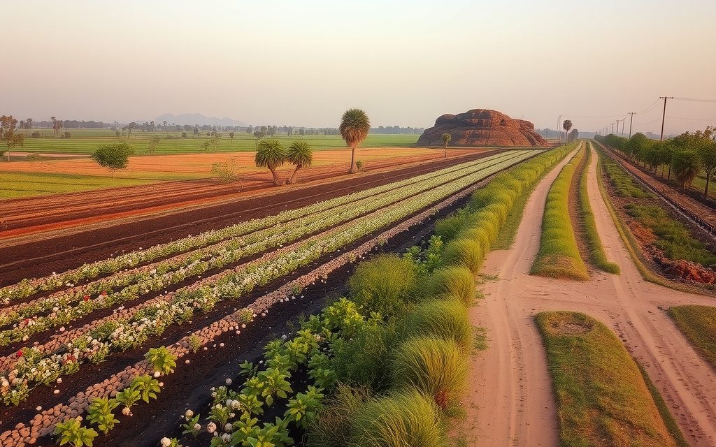
- About 110 km from Hyderabad via the Nagarjuna Sagar highway through Ibrahimpatnam, Mal and Chintapalli
- Mostly rainfed and borewell farming; AMRP canals reach some villages, while Dindi and SLBC schemes remain incomplete
- Red gravelly uplands with black cotton soil in lower fields; bores commonly 300–800 ft
- Cotton, red gram and sweet lime; borewell water should be tested given the district's fluoride history
- Assigned land and village Scheduled Area status are the top title checks in this tanda-rich belt
| What | Indicative range | Note |
|---|---|---|
| Rainfed land, interior villages and tanda areas | ₹7 L – ₹15 L per acre | indicative, Oct 2026 |
| Black or red soil with a working borewell and power | ₹12 L – ₹25 L per acre | indicative, Oct 2026 |
| Tank-fed or AMRP-served land with visible water | ₹18 L – ₹35 L per acre | indicative, Oct 2026 |
| Town fringe within about 5 km of Devarakonda | ₹40 L – ₹1 Cr per acre | indicative, Oct 2026 |
| Sagar road or Hyderabad road frontage outside town | ₹45 L – ₹1.2 Cr per acre | indicative, Oct 2026 |
| Farm plots in farm ventures near the highway | ₹1 L – ₹2.5 L per gunta | indicative, Oct 2026 |
Ranges reflect recent transactions and advisor observation as of 2026-10. Always verify against the sub-registrar market value and the specific parcel.
Devarakonda announces itself from miles away: a ridge of bare granite crowned by the walls of a medieval hill fort, rising out of flat dry country about 110 km south-east of Hyderabad. Around it lies some of the cheapest agriculture land in Nalgonda district, a wide upland of cotton, red gram and grazing land dotted with Lambada tandas and old village tanks. Agriculture land in Devarakonda is value land in the plainest sense. You can buy a large block here for what a few acres cost nearer the city. The question is never whether it is cheap. It is why it is cheap, and whether the reasons will change in your holding period. This guide answers that with indicative per-acre ranges as of October 2026, an honest look at the water and title risks, and how registration works at the Devarakonda Tahsildar office.
Devarakonda is a mandal and revenue-division headquarters in Nalgonda district, serving the southern, drier half of the district. The surrounding division includes mandals such as Chandampet, Chintapalli, Dindi, Kondamallepally, Pedda Adiserlapally and Nampally, stretching south towards the Krishna and the Nagarjuna Sagar backwaters. The fort itself was built by the Recherla Velama rulers and remains the town's landmark.
Why look at agriculture land in Devarakonda at all
We are upfront with clients: Devarakonda is not a weekend-farmhouse market, and it is not a quick-flip market. It attracts three specific kinds of buyer.
- The value land banker who wants a large, clean-title block at a low entry price and is prepared to hold for ten years or more, betting on irrigation and road improvements.
- The serious dry-land farmer or orchardist who knows how to make red gram, cotton, sweet lime or custard apple work with limited water, and wants scale rather than proximity.
- Families with roots in the division who are consolidating land near their native village, often with relatives on the ground to manage it.
What these buyers share is patience and a clear-eyed view of water. If either is missing, there are better places to put your money.
Getting there: the Sagar highway and the Dindi road
The usual route from Hyderabad is the Nagarjuna Sagar highway. Leave the city past LB Nagar or join from the ORR, drive through Ibrahimpatnam, Yacharam, Mal and Chintapalli, and turn south for Devarakonda. Expect two and a half hours in normal traffic. The alternative is the Srisailam highway to Kalwakurthy and then east through the Dindi side, which suits buyers in the south and west of the city.
- Hyderabad (central): about 110 km.
- ORR: roughly 85–90 km from the Bongulur or Pedda Amberpet side, depending on route.
- Nalgonda (district headquarters): roughly 60 km north-east.
- Mal and the Sagar highway junction: about 30 km north.
- Dindi: about 25 km west, towards the Srisailam highway.
- Kalwakurthy: roughly 50–60 km west via Dindi.
- Nagarjuna Sagar: roughly 60–70 km south-east.
There is no railway. Roads inside the division are mixed: state highways and main district roads are generally good, but many tandas and smaller villages are reached by narrow tracks that cross streams without bridges. A parcel's approach in August matters as much as its approach in March.
Soil, water and crops on the Devarakonda upland
Two soils in one landscape
The ridges and higher ground carry red gravelly soil over granite, thin in places and broken by sheet rock. The lower fields, valley floors and tank beds have heavier black cotton soil that holds moisture well after the monsoon but cracks hard in summer. Most holdings contain a mix. Black-soil patches are where cotton and red gram yield best on rain alone; red uplands suit orchards with drip, provided you have water.
Water today: rain, tanks and bores
Most farming in the division is rainfed or borewell-based. Village tanks, many of them old structures restored in recent years, give a single season's assurance to the fields below them in good monsoon years. Borewells reach water at variable depths, commonly 300 to 800 feet, and yields are often modest. Bore failure is a real risk; we always prefer parcels with a working, tested bore and a sanctioned agricultural power connection.
What grows
- Cotton and red gram: the backbone of dry-land farming here.
- Paddy: limited to tank ayacuts and lift-served pockets.
- Maize and chilli: where bore water allows a second crop.
- Sweet lime: Nalgonda district is one of Telangana's main sweet lime regions, and blocks on drained red loam do well with drip.
- Mango and sapota: grown on a smaller scale.
- Custard apple: thrives on rocky edges with almost no care.
Fluoride, Mission Bhagiratha and testing your bore
Nalgonda district has a long and painful history of high fluoride in groundwater, and the upland mandals around Devarakonda were among the worst affected, with visible dental and skeletal fluorosis in some villages over past decades. The state's Mission Bhagiratha scheme now supplies treated surface water for drinking to towns and villages across the district, which has transformed the domestic situation.
For a farm buyer, this has two practical consequences. First, test borewell water before you plan a caretaker's house or livestock around it; drinking water for residents should come from the piped supply or be treated. Second, irrigation with high-fluoride water is generally tolerated by field crops, but it is one more reason to want surface water or rainwater harvesting on an orchard. A farm pond that captures monsoon runoff is a sensible investment on almost any Devarakonda parcel.
Irrigation promises: what to price and what to ignore
Devarakonda's land market has been living on irrigation promises for a generation. Three schemes come up in almost every conversation, and you should understand each before a seller uses it to justify a price.
The SLBC tunnel scheme
The Srisailam Left Bank Canal tunnel project is designed to carry Krishna water by gravity from the Srisailam reservoir through a long tunnel under the Nallamala forest to the uplands of Nalgonda district, including the Devarakonda belt. It has been under construction for well over two decades. In February 2025 a section of the tunnel collapsed on the inlet side near Domalapenta, trapping workers and halting work for a long period. Whatever the eventual completion date, it is not something to pay for in today's price.
The Dindi lift scheme
The Dindi lift scheme is intended to take Krishna water towards the Dindi reservoir and on to the fluoride-affected uplands of Devarakonda and Munugode. Works have progressed in parts, but at our last review the delivery network to individual villages was far from complete. The old Dindi reservoir itself irrigates a limited ayacut near Dindi.
AMRP and the Akkampally side
The Alimineti Madhava Reddy Project lifts water from the Nagarjuna Sagar foreshore and serves parts of Nalgonda district through canals from the Akkampally reservoir. Some villages in the Devarakonda division fall within or near its command. Here, at least, you can see water in canals and fields, and we price parcels that actually receive it as irrigated.
Our rule is simple: pay for water you can see in the field this year. Everything else is an option on the future, priced at a small premium if at all.
Indicative price bands for agriculture land in Devarakonda
The figures below come from recent transactions and advisor observation as of October 2026. They are indicative ranges, not offers. Water, approach, title cleanliness and distance from the Sagar highway move individual parcels significantly.
| Parcel type and location | Indicative range | Main price factor |
|---|---|---|
| Rainfed land, interior villages and tanda areas | ₹7 L – ₹15 L per acre | Approach road, rock content, title clarity |
| Black or red soil with a working borewell and power | ₹12 L – ₹25 L per acre | Bore yield, soil depth |
| Tank-fed or AMRP-served land with visible water | ₹18 L – ₹35 L per acre | Reliability of water in recent seasons |
| Town fringe within about 5 km of Devarakonda | ₹40 L – ₹1 Cr per acre | DTCP layout and conversion potential |
| Sagar road or Hyderabad road frontage outside town | ₹45 L – ₹1.2 Cr per acre | Frontage width, commercial use, setbacks |
| Farm plots in farm ventures near the highway | ₹1 L – ₹2.5 L per gunta | Fencing, plantation, individual title |
For comparison, interior dry land nearer Nalgonda town typically sits higher, and canal-fed paddy land in the Miryalaguda belt far higher. Devarakonda's discount is the price of uncertain water and distance.
Tandas, assigned land and village-status checks
The Devarakonda division has a large Lambada population living in tandas, many of which became separate gram panchayats in 2018, and the Devarakonda assembly seat is reserved for Scheduled Tribes. This shapes the land market in ways city buyers need to understand.
Assigned land is common. Over decades, the government assigned land to landless families, including many tribal and Dalit households. Under the POT Act such land cannot be sold, whatever a local intermediary says, and a sale deed will not give you good title. Assigned parcels are frequently offered to outsiders at very low prices. If a seller cannot show a clean patta lineage and the Bhu Bharati record flags the land, walk away.
Scheduled Area status must be checked village by village. In notified Scheduled Areas, the 1/70 land transfer regulation bars transfers of land to non-tribals. To our knowledge most of the Devarakonda belt is not a notified Scheduled Area, unlike the agency mandals of the northern and eastern districts, but notification is a matter of record, not assumption. We verify the status of the specific village before discussing price.
Occupation and possession. In some villages, land recorded in one name is cultivated by another family under old informal arrangements. Physical possession, the cultivator column in pahani history, and a conversation with neighbours tell you more than the passbook alone.
None of this makes Devarakonda unbuyable. It means the title work here is heavier than in a peri-urban village, and the cheapest offers are disproportionately the ones that fail it.
Reading the division belt by belt
Prices and risks shift noticeably across the Devarakonda revenue division. These are broad patterns from our visits, not hard boundaries.
The Sagar highway side: Chintapalli and the northern villages
Villages closest to the Nagarjuna Sagar highway are the easiest to reach from Hyderabad and see the most outside buyers. Land here carries a modest access premium, and roadside parcels near the junctions are already priced partly for petrol pumps, dhabas and warehouses. Interior parcels a few kilometres off the highway can still be bought at dry-land rates, which makes this belt a sensible compromise for buyers who want to visit regularly.
Around Devarakonda town and Pedda Adiserlapally
Near the town, land prices reflect the market yard, the bus station and the slow outward creep of DTCP layouts. A few kilometres further, land returns to cotton and red gram. Where AMRP canals reach villages on this side, the difference between watered and unwatered fields is obvious from the road in winter.
The Dindi side, towards the Srisailam highway
West towards Dindi the country is rockier and the tanks smaller. This is where the Dindi lift scheme is supposed to make the biggest difference, and therefore where speculative pricing is most common. Land here suits a buyer who wants to hold for the scheme and is happy with dry-land returns until then.
Chandampet and the southern edge
Towards the Krishna and the Sagar backwaters, villages become more remote, tandas more numerous and forest fringes closer. Prices are the lowest in the division. So is liquidity, and the title and forest checks are at their heaviest. We only recommend this belt to buyers with local family or a strong long-term farming plan.
When to visit, and what each season shows you
Visit once in the dry months, ideally March to May, and once after the monsoon. The summer visit tells you which bores still pump, how much water the nearest tank holds and how hot the parcel really gets; it is also when the cracked black-soil patches and the bare rock are easiest to see. The post-monsoon visit shows drainage, waterlogging in low fields, the state of stream crossings on the approach and what the neighbours are actually growing. Field-crop sellers are most willing to negotiate after harvest, in December and January or after the summer, when cash needs are highest. Orchard sellers prefer to deal once the season's fruit contract is settled.
Types of parcels in the Devarakonda market
- Patta dry land: the majority of offers, typically 3 to 20 acres, often held by several brothers.
- Large consolidated blocks: 20 to 50 acres assembled from neighbouring holdings, attractive to orchard investors but slow to put together. Remember that land ceiling limits apply per family unit under the 1973 ceiling law; very large aggregations need legal advice.
- Tank-ayacut and AMRP-served parcels: fewer, more expensive, and quick to sell when genuinely watered.
- Orchards: sweet lime blocks with drip, occasionally mango; often the best-maintained land on offer.
- Highway and town-edge land: priced on conversion potential for DTCP layouts or roadside use. If you want a house plot rather than farmland, see open plots in Devarakonda.
Our legal checklist, adapted for Devarakonda
The core Telangana farm-land checks apply here with extra weight on assignment and village status. We group them in the order we actually do them:
Before any site visit
- Survey number, extent and owner name on the Bhu Bharati record of rights (the system that replaced Dharani), viewable on the state land records portal.
- Check the Section 22-A prohibited properties list for government, endowment and other restricted land.
- Confirm the village's Scheduled Area status.
Before any advance
- Pattadar passbook matching the record.
- Pahani and 1B history over as many years as available, looking especially for assignment entries, "Sarkari" classification or a change from government to private.
- Encumbrance certificate for at least 30 years.
- Link documents back to the earliest record, including succession certificates and the consent of every legal heir.
- FMB sketch and a licensed surveyor's boundary marking; on rocky ground, measure cultivable extent separately.
- Tank bed and FTL boundaries, and any canal or acquisition notification for AMRP or Dindi works.
- 58/59 regularisation papers for town-edge land; ceiling and forest checks for large blocks and southern villages near the Nallamala fringe.
- NALA status if any non-agricultural use is planned.
Our explainers on assigned land and 22-A prohibited properties and on reading Bhu Bharati records go deeper on items 2 and 5.
Registration and stamp duty for Devarakonda farm land
Unconverted agricultural land registers at the Tahsildar office of the mandal where the land lies, Devarakonda or a neighbouring mandal. The Tahsildar acts as joint sub-registrar and processes mutation through Bhu Bharati in the same sitting, so the buyer's name reaches the record without a separate application. Converted land, DTCP plots and houses register at the jurisdictional Sub-Registrar Office; Devarakonda town has its own SRO, and we confirm jurisdiction from the survey number.
| Component | Approximate rate (Oct 2026) | Comment |
|---|---|---|
| Stamp duty | About 5.5% | On market value or sale price, whichever is higher |
| Transfer duty | About 1.5% | Not charged in gram panchayat areas |
| Registration fee | About 0.5%, or about 2% in gram panchayat areas | Combined total roughly 7.5% |
We verify current rates and the government market value for the survey number on the registration portal and at the office on the day. Section 194-IA TDS of 1% on purchases above ₹50 lakh does not apply to rural agricultural land; it can apply to converted or town-limit property.
Buying a value block: how we approach 20 acres or more
Several of our Devarakonda clients want scale: a 20 or 30-acre block for a sweet lime or custard apple orchard, or a long-term land bank. Assembling that kind of holding has its own rhythm.
Start with one anchor parcel. Buy or agree the best-titled, best-watered parcel first, then approach neighbours. Trying to sign six families at once usually ends with one holdout who raises the price for everyone.
Map access before you map acres. A block that has frontage on a gravel road but is crossed by a cart track used by the next village will carry an easement, formal or not. Know where people and cattle walk.
Plan water at block scale. One good bore can be shared across a block with a pond and drip, which is cheaper than drilling on every sub-parcel. Locate the pond at the lowest point to catch runoff.
Keep each title separate until you are sure. Register each parcel on its own deed with its own mutation. Do not merge survey numbers on paper until every title is settled.
Budget for time. A 25-acre block might take six months to a year to assemble properly. Rushing it is how buyers end up with a gap in the middle owned by someone who will not sell.
Who should buy in Devarakonda, and who should look elsewhere
Good fit: patient land bankers who want low entry prices and accept a long horizon; experienced dry-land farmers and orchardists; buyers with family on the ground; and anyone building a large block who values scale over proximity.
Poor fit: weekend-farmhouse seekers who want to be in the city by dinner; buyers who need resale within three to five years; and anyone unwilling to do heavy title work. For irrigated land in the same district, compare farm land in Miryalaguda on the Sagar left canal, or the broader Nalgonda district farm-land guide. On the Srisailam highway side, agriculture land in Kalwakurthy offers lift-irrigated options at a similar distance from the city.
NRI note
FEMA rules bar NRIs and OCI cardholders from purchasing agricultural land, plantations or farmhouses anywhere in India, and a gift of such land to them is equally barred. Inheritance from a resident Indian is the one permitted route, and any inherited farm land can later be sold only to a resident Indian buyer. Several Devarakonda families have members abroad who ask whether they can add to the family's land; the lawful route is a purchase by a resident relative from that relative's own funds. NRIs can invest in open plots, villas and apartments. See our page on NRI rules for agricultural land in Telangana, and take advice from a chartered accountant on tax.
How NRR Estates works in Devarakonda
We are advisors, not a listing portal, and our fee is disclosed before any commitment. In Devarakonda our work concentrates on the risks that matter most here:
- Pre-screening every offer against Bhu Bharati, 22-A and village status before you spend a day driving.
- Site visits that include a conversation with neighbouring cultivators about possession and water.
- Lawyer-led title verification with particular attention to assignment history.
- Bore testing, including a fluoride check where a residence is planned.
- Licensed survey and boundary marking, including cultivable extent on rocky parcels.
- Negotiation against comparable sales, and patient assembly of larger blocks.
- Registration and mutation at the Tahsildar office or SRO, followed through to the updated passbook.
Devarakonda agriculture land: your questions answered
How much does agriculture land in Devarakonda cost per acre?
As of October 2026, indicative ranges are about ₹7 lakh to ₹15 lakh per acre for rainfed interior land, ₹12 lakh to ₹25 lakh for land with a working borewell and power, and ₹18 lakh to ₹35 lakh for tank-fed or AMRP-served land with visible water. Town-fringe land runs roughly ₹40 lakh to ₹1 crore and main-road frontage ₹45 lakh to ₹1.2 crore per acre. These reflect recent transactions and advisor observation and vary with water, access and title.
Why is land in Devarakonda cheaper than elsewhere in Nalgonda district?
Mainly water and distance. Most of the division farms on rain and borewells, with only some villages reached by AMRP canals or tank water, so incomes are lower and less predictable than in the canal-fed Miryalaguda belt. It is also further from Hyderabad than the northern mandals. Heavier title risk, especially assigned land, pulls the cheapest offers down further. The discount is real value only if the parcel's title is clean and you can live with dry-land returns.
Will the SLBC tunnel or Dindi lift scheme irrigate Devarakonda soon?
Do not plan on it. The SLBC tunnel scheme has been under construction for more than two decades, and a section collapsed on the inlet side near Domalapenta in February 2025. The Dindi lift scheme has progressed in parts, but at our last review its delivery network to villages was far from complete. Both could eventually change the area, but we advise paying only for water you can see in the field this year and treating these schemes as long-term upside.
Is there a Scheduled Area or tribal-land restriction in Devarakonda?
It depends on the village. The 1/70 land transfer regulation bars transfers to non-tribals only in notified Scheduled Areas, and to our knowledge most of the Devarakonda belt is not notified, unlike the agency mandals of the northern and eastern districts. But notification is a matter of record, so we check each village. The more common problem here is assigned land given to landless and tribal families, which cannot be sold under the POT Act whatever the seller says.
Is borewell water safe around Devarakonda given the fluoride history?
Test it before relying on it for drinking. Nalgonda district's uplands, including the Devarakonda area, historically had high fluoride in groundwater. Mission Bhagiratha now supplies treated surface water for drinking to towns and villages across the district. For a farm, field crops usually tolerate borewell water, but any caretaker's house or livestock shed should use the piped supply or treated water. A farm pond that captures monsoon runoff is a sensible addition on most parcels.
Where do I register farm land bought in Devarakonda?
Unconverted agricultural land registers at the Tahsildar office of the mandal where it lies, where the Tahsildar acts as joint sub-registrar and mutation happens in the same sitting through Bhu Bharati. Converted land, DTCP plots and houses register at the jurisdictional Sub-Registrar Office, and Devarakonda town has its own SRO. Stamp duty, transfer duty and registration fee total roughly 7.5% of the higher of market value and price. We verify current rates on the day.
Can I put together a large block of 20 acres or more in Devarakonda?
Yes, and many orchard buyers do, but it takes time. Secure one well-titled anchor parcel first, then approach neighbours one by one. Register each parcel on its own deed and mutation, plan access and shared water at block scale, and allow six months to a year. Land ceiling limits under the 1973 law apply per family unit, so very large aggregations need legal advice. Rushing usually leaves a gap in the middle owned by a holdout.
Can NRIs buy agricultural land in Devarakonda?
No. NRIs and OCI cardholders cannot buy agricultural land, plantations or farmhouses in India under FEMA and cannot receive them as a gift. They may inherit agricultural land from a resident Indian and can sell inherited farm land only to a resident Indian. A resident relative may buy with their own funds, without NRI money routed through them. NRIs remain free to buy open plots, villas and apartments, and should consult a chartered accountant on tax.
Related guides
Black cotton fields, NSP canal paddy and sweet lime orchards around Nalgonda, about 100 km from Hyderabad via NH-65. Mandal guide, canal and fluoride realities, indicative per-acre prices and the title checks district land needs.
Devarakonda, the fort town and revenue division headquarters on the Nagarjuna Sagar road, offers some of Nalgonda district's most affordable approved plots. DTCP approvals, price bands and assigned-land checks.
Two-crop paddy land on the Nagarjuna Sagar left canal, black cotton soils and a rice-mill economy about 150 km from Hyderabad. Indicative per-acre prices by canal reach, soil and water tests, and the title checks that matter.
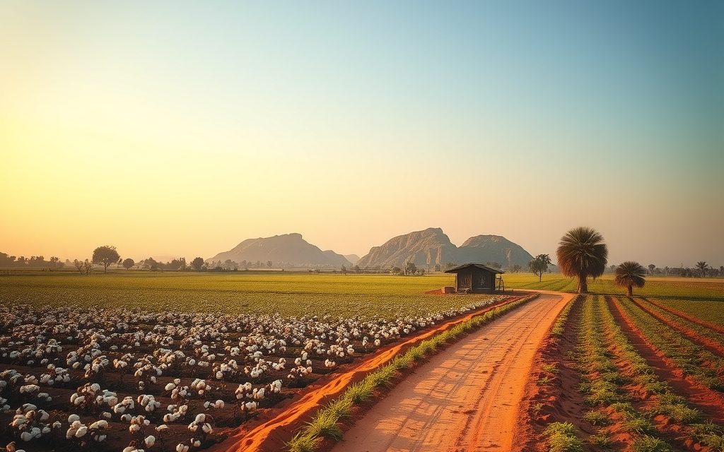
Kalwakurthy is where the Srisailam highway leaves Hyderabad's price gradient behind and farming value takes over. Lift-irrigated land, borewell red soil and cheap rainfed acreage sit side by side: indicative per-acre bands and the checks that separate them.

Assigned land, Bhoodan, endowment, wakf and government land cannot be sold to private buyers. How the POT Act and Section 22-A work, how to search a survey number, and what happens if you buy by mistake.
NRIs and OCIs cannot buy or receive gifts of agricultural land, plantations or farmhouses; inheritance is the only route. What inherited land allows, why benami workarounds are dangerous, and the lawful alternatives near Hyderabad.
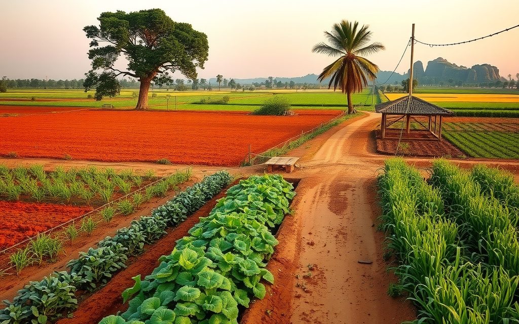
Red-soil farmland 4 km from the ORR beside the Aerospace SEZ and TCS campus. Interior villages still farm vegetables and mango; land near the SEZ is priced as future layout land and needs careful acquisition checks.
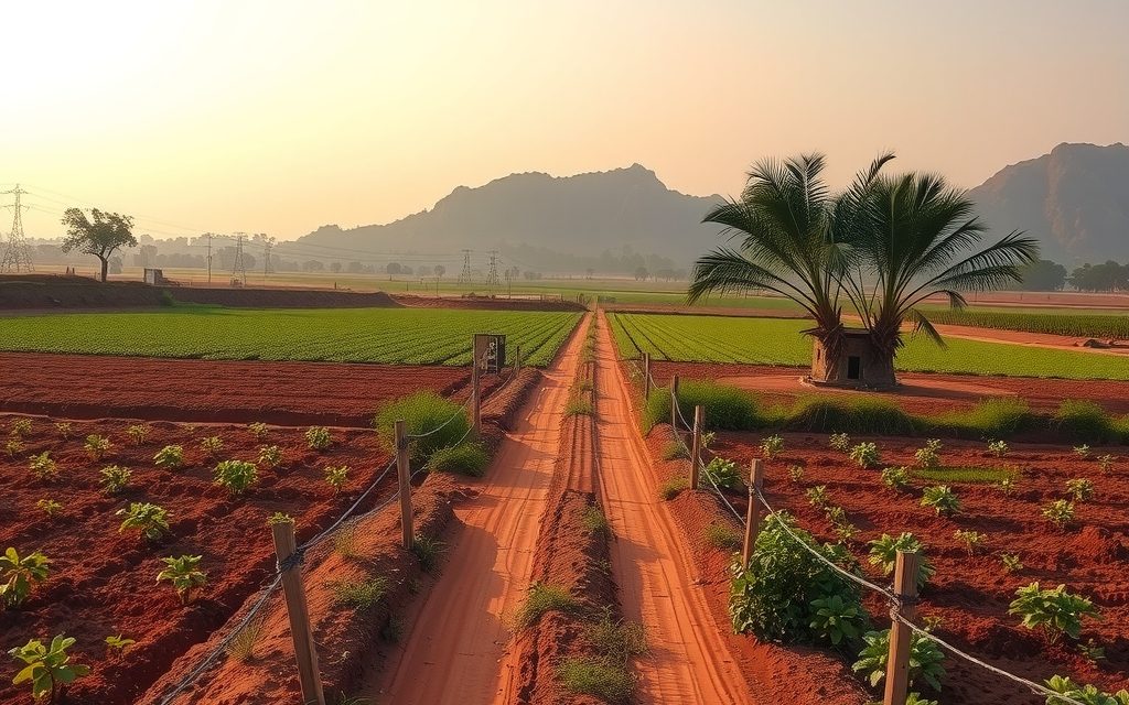
Deep black cotton and soybean land on the Penganga plains, about 300 km from Hyderabad on NH-44. Indicative per-acre bands by distance, and how to screen for 1/70 Scheduled Area villages and forest lines first.