Agriculture & Farm Land in Choutuppal, Yadadri Bhuvanagiri
Farm land on the Vijayawada highway where the planned RRR meets NH-65, about 28–30 km past the ORR. Highway frontage and interior paddy or cotton land are separate markets with very different prices and checks.
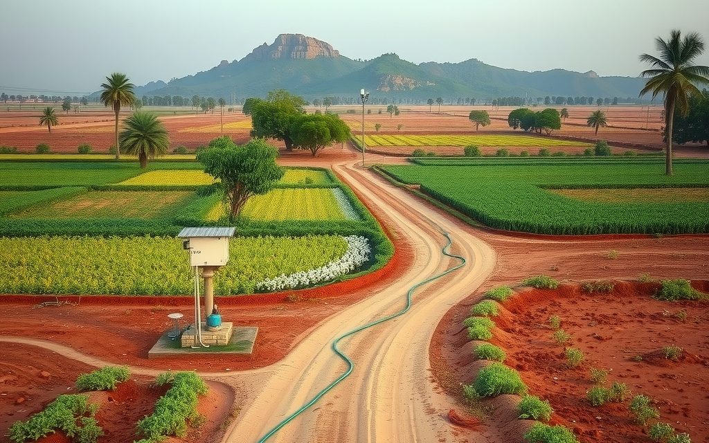
- About 28–30 km from the ORR Pedda Amberpet interchange and 45 km from LB Nagar on NH-65
- Agricultural land registers at the Choutuppal Tahsildar office; converted land at the jurisdictional SRO
- Roughly 60% bore-irrigated (about 300–700 ft); test groundwater for fluoride and, near industry, contaminants
- Mostly red soils with darker low-land patches; paddy, cotton, maize, vegetables, mango and sapota
- Planned RRR junction and industrial units drive highway demand; check acquisition notices and zoning
| What | Indicative range | Note |
|---|---|---|
| NH-65 frontage around Choutuppal | ₹2.5 Cr – ₹5.5 Cr per acre | indicative, Oct 2026; check access and widening |
| Second-row land within about 1 km of the highway | ₹1.2 Cr – ₹2.5 Cr per acre | indicative, Oct 2026 |
| BT-road villages 3–8 km from the highway | ₹55 L – ₹1.2 Cr per acre | indicative, Oct 2026 |
| Interior villages 8+ km out, with borewell | ₹35 L – ₹65 L per acre | indicative, Oct 2026 |
| Rainfed interior land, cart-track approach | ₹25 L – ₹45 L per acre | indicative, Oct 2026 |
| Farm plots in gated farm ventures | ₹3 L – ₹7 L per gunta | indicative, Oct 2026; not an approved layout |
Ranges reflect recent transactions and advisor observation as of 2026-10. Always verify against the sub-registrar market value and the specific parcel.
Agriculture land in Choutuppal is priced off three things at once: the Vijayawada highway, the industrial units that have gathered along it, and the Regional Ring Road that is planned to meet the highway here. Choutuppal is a mandal and municipal town in Yadadri Bhuvanagiri district, Telangana, on NH-65 about 28 to 30 km beyond the Outer Ring Road's Pedda Amberpet interchange and roughly 45 km from LB Nagar. Behind the highway's sheds, warehouses and dhabas lie paddy fields, cotton and maize on red and darker soils, mango and sapota blocks, and villages whose land values depend heavily on how far they sit from the road. This guide sets out indicative per-acre prices as of October 2026, how to read the RRR and industrial-park stories without overpaying, the zoning and water checks specific to this belt, and how registration works.
The ranges below are indicative and drawn from recent transactions and advisor observation. Highway frontage and an interior field ten kilometres away are different asset classes, priced by different buyers, and we treat them separately throughout.
Why Choutuppal draws farm-land and highway buyers
Choutuppal's appeal is less about countryside and more about position. It is the first sizeable town on the Vijayawada highway once you leave the Hyderabad urban edge, and several forces meet here.
- NH-65 frontage: one of the busiest freight corridors in the state, linking Hyderabad with Vijayawada and the Andhra coast. Frontage land here is bought for warehousing, logistics, fuel stations and roadside commerce.
- The RRR junction: as planned, the Regional Ring Road's northern arm, coming down from the Bhongir side, and its southern arm, heading toward Shadnagar, are designed to meet near Choutuppal. That makes it one of the ring's key nodes on paper.
- Industrial activity: pharmaceutical and chemical units, an MSME-focused industrial park at Dandumalkapur, and assorted sheds and godowns already operate in the mandal, creating jobs and steady demand for land near the highway.
- Proximity to the eastern city: Hayathnagar, Vanasthalipuram and LB Nagar are within an hour, and Ramoji Film City lies off the same highway closer to the city.
For pure farming or a quiet weekend farm, Choutuppal is not the obvious choice: the highway belt is busy and parts of it are industrial. Interior villages are another matter, offering ordinary farm land at prices well below the ORR fringe. The key is knowing which of the two markets you are buying in.
Access, distances and the NH-65 corridor
The route from the city is direct: reach the ORR at Pedda Amberpet or come out through LB Nagar and Hayathnagar, then follow NH-65 east past Abdullapurmet. Outside peak hours, Choutuppal is about 45 minutes from the ORR and 75 to 90 minutes from Gachibowli. Weekend and festival traffic toward Vijayawada can slow the highway considerably.
| From Choutuppal town to | Approximate distance |
|---|---|
| ORR Pedda Amberpet interchange | About 28–30 km |
| LB Nagar | About 45 km |
| Gachibowli / Hitech City | About 65–75 km via the ORR |
| Rajiv Gandhi International Airport | About 55–65 km via the ORR |
| Bhongir (district HQ) | About 35 km north |
| Pochampally | About 20 km north |
Reading the RRR alignment talk carefully
Every farm-land advertisement within twenty kilometres of Choutuppal mentions the RRR. Some of that is justified: the ring is planned to meet NH-65 in this mandal, and an interchange here would make the surrounding area a natural logistics hub. But three cautions apply. First, the northern arm has progressed further through the approval and acquisition process than the southern arm, and alignments near towns have seen local objections and adjustments. Second, land inside the acquisition corridor is acquired, not appreciated; owners receive compensation, and that may or may not match market expectations. Third, access-controlled expressways benefit land near interchanges and on connecting roads, not every village within sight of the carriageway.
Our practice is to check the latest notified alignment and acquisition notices for the specific survey numbers, and to price only land that is clearly outside the corridor but well connected to an expected interchange. Our Regional Ring Road land guide explains how to tell a notified alignment from a sketch on a brochure.
Industrial parks, zoning and what they mean for farm land
Choutuppal's industrial base is real and growing, and it shapes the land market in two opposite ways. Near the highway and around industrial clusters, it lifts land values and creates demand for converted plots, worker housing and commercial frontage. In the villages immediately downwind or downstream of chemical units, it can weigh on values and raise questions about groundwater quality. A farm parcel next to an industrial park is not automatically a winner.
Planning jurisdiction and land-use zones
Parts of the Choutuppal area have long fallen within the Hyderabad Metropolitan Development Authority's planning area, and the authority's limits have been under expansion toward the RRR in recent government decisions. Within a planning area, each survey number carries a land-use zone in the master plan, such as agricultural, residential, industrial or conservation. That zone decides whether conversion and building are practical later. For any parcel bought with future conversion in mind, we check the applicable master plan and zoning on the HMDA website and through official channels before you pay.
Industrial and acquisition notices
Villages in the mandal have seen land notified for industrial parks, highway works and the RRR at different times. Notified but unacquired land may carry restrictions, and a seller may not volunteer that history. We search for acquisition notices against each survey number as a standard step.
Soil, water and farming around Choutuppal
Mixed soils
Most of the mandal carries red soils: lighter and gravelly on the higher ground, deeper and loamier in low fields. Darker, heavier soils occur in patches in the lower land and below tanks, holding moisture well enough for paddy and cotton. Rocky outcrops are less dominant here than on the Vikarabad plateau, but they appear, and as always the usable area matters more than the recorded extent.
Water and the fluoride question
Borewells irrigate roughly 60% of farmed land, with about a quarter rainfed and a smaller share fed by tanks and canals. Bores of roughly 300 to 700 feet are common. Choutuppal lies on the edge of the old Nalgonda groundwater belt where high fluoride levels have historically been a problem. Drinking water in villages now largely comes through the state's piped supply, but if you plan to use bore water for a farmhouse, livestock or a worker family, get it tested for fluoride and, near industrial units, for other contaminants as well. A water test costs little compared with the land.
What grows here
- Paddy: on tank-fed and bore-irrigated low land, often two crops a year where water allows.
- Cotton and maize: the main kharif crops on red and darker soils, much of it rainfed.
- Vegetables: on bore land closer to the highway, supplying markets toward Hyderabad.
- Orchards: mango, sapota and guava on the red uplands, generally as small blocks.
Labour, leasing and security near a highway town
Choutuppal's industrial units compete with farms for labour, so farm wages and availability at harvest time can be tighter than in purely agricultural mandals further from the road. Absentee owners often lease interior land to neighbouring farmers on an annual basis, which keeps it cultivated and watched. Highway-side parcels held for future use face a different risk: dumping, unauthorised parking of trucks and informal roadside stalls. A compound wall or strong fencing along the frontage, a gate that locks and a periodic visit are worth the cost. Keep any lease or licence short and in writing, and never allow a structure to come up on your land without a document recording that it is temporary and creates no rights.
Agriculture land in Choutuppal: indicative price bands
Highway proximity is the dominant factor here, followed by connection to an expected RRR interchange, then water and zoning. The bands come from registered deals we have tracked and what we see on the ground, as of October 2026.
| Parcel type | Indicative range | Check before paying |
|---|---|---|
| NH-65 frontage around Choutuppal | ₹2.5 Cr – ₹5.5 Cr per acre | Service road, access permission, widening line |
| Second-row land within about 1 km of the highway | ₹1.2 Cr – ₹2.5 Cr per acre | Approach road width, zoning |
| BT-road villages 3–8 km from the highway | ₹55 L – ₹1.2 Cr per acre | RRR corridor overlap, bore yield |
| Interior villages 8+ km out, with borewell | ₹35 L – ₹65 L per acre | Water quality, monsoon access |
| Rainfed interior land, cart-track approach | ₹25 L – ₹45 L per acre | Access, title chain |
| Farm plots in gated farm ventures | ₹3 L – ₹7 L per gunta | Sub-division status, approval claims |
Closer to the city on the Warangal side, our Bibinagar farm land page shows higher interior bands, reflecting its shorter distance to the ORR and the AIIMS effect. Choutuppal's interior villages sit below those levels; its highway frontage trades in a similar range because frontage buyers price the corridor, not the town.
Frontage pricing in practice
Frontage values assume that a vehicle can enter the property, that a commercial or industrial use can be approved after conversion, and that most of the parcel is usable. Test each assumption. A deep, narrow parcel with a short frontage, land below the highway level that floods in heavy rain, or a strip that falls inside a widening line will not justify the top of the band. Buyers of frontage should also budget for NALA conversion fees and the time it takes.
Farm plots near a highway town
A venture plot at ₹5 lakh per gunta equals ₹2 crore per acre. Near Choutuppal, some ventures market agricultural farm plots alongside language that suggests layout approval. Agricultural land sold in guntas is not an approved residential layout, and you cannot assume you will be allowed to build a house on it. Check exactly what you are buying, and compare the price with raw land a few kilometres away.
Where the interior farm-land value sits
Away from the highway, the mandal's villages fall into rough directional bands, each with a different character. These are generalisations from site visits, not rules; every survey number still needs its own checks.
- Toward the north and the Pochampally side: quieter, greener villages with tanks and paddy, fewer industrial units and more interest from city buyers wanting orchards or weekend farms. Prices tend to sit in the middle of the interior bands, higher where a good BT road links back to the highway.
- Toward the south and the Narayanpur side: drier, more rainfed land with longer drives and historically higher groundwater fluoride. The cheapest acreage in the area, suited to patient land banking rather than intensive farming.
- East along the highway toward Chityal: a mix of farm land and industrial or commercial use, where values depend on how close a parcel is to NH-65 and to existing units.
- West toward the city: villages closest to Abdullapurmet and the ORR side, where farm land increasingly trades on future plot potential and prices rise steeply as you move west.
In practice, many buyers choose an interior village within ten minutes of the highway, on an all-weather road, with a tested bore and no acquisition overlap. That combination keeps the land usable and saleable without paying frontage prices.
A worked example: valuing a highway-frontage parcel
Suppose you are offered three acres on NH-65 near Choutuppal with about 60 metres of frontage, at ₹4 crore per acre. Before agreeing, we would work through questions like these.
| Question | Why it matters | Possible effect on value |
|---|---|---|
| Does a widening line take a strip from the front? | That strip may be acquired, and setbacks apply behind it | Usable frontage land shrinks |
| How deep is the parcel behind the frontage? | Back land is worth far less than the first 50–100 metres | Blended rate falls below frontage rate |
| Is there a service road or access permission? | Direct access to a national highway is regulated | Without access, frontage value is theoretical |
| What is the master-plan zone? | Determines whether warehousing or commerce can be approved | An agricultural or conservation zone limits use |
| Is any part notified for the RRR or an industrial park? | Notified land may be acquired at compensation rates | Can remove part of the parcel from the deal |
| Is the land below road level? | Filling, drainage and flooding costs | Adds development cost |
Very often the honest answer is that the first acre deserves the frontage rate and the back acres deserve something closer to second-row pricing. Buyers who negotiate a blended rate on that basis, rather than paying the headline per-acre figure across the whole parcel, protect themselves from the most common overpayment we see on this corridor.
Parcel types in the Choutuppal market
Highway frontage and second-row land
Bought mostly by logistics, warehousing and commercial investors. The legal work is as much about conversion, access and zoning as about title.
Interior family holdings
Two to ten acre patta holdings in villages away from the highway. The best value for farming or land banking, with the usual family-title checks.
Paddy land below tanks
Productive and moisture-holding, but check carefully for portions within the tank's full tank level, which cannot be sold.
Farm-venture plots
Fenced, planted plots sold by the gunta, usually aimed at city buyers. Check whether each plot is a separately recorded sub-division with its own passbook entry.
Legal checklist for Choutuppal agricultural land
- Bhu Bharati record and passbook. Name, survey number and extent must match. The state land records portal gives a first view.
- Pahani and 1B history. Track cultivator and classification changes over as many years as are available.
- Thirty-year encumbrance certificate and link documents back to the original pattadar, with succession records where land passed without deeds.
- Acquisition notices. Search for RRR, highway widening and industrial-park notifications covering the survey number.
- Planning jurisdiction and zoning. Confirm whether the parcel lies in HMDA's planning area and what land-use zone applies.
- Survey number, FMB and on-ground survey. Fix boundaries before paying the balance, especially on highway frontage where every metre is valuable.
- Section 22-A prohibited properties. Make sure the land is not on the prohibited list.
- Assigned land. Land assigned to landless families cannot be bought, however long the current occupant has farmed it.
- Tank FTL and buffers. Exclude tank-bed portions and respect buffer zones near tanks and streams.
- Ceiling, forest and 58/59 regularisation. Confirm no ceiling surplus, forest or regularisation conditions apply.
- NALA status. For frontage and second-row land, see any existing conversion order and its survey numbers.
- Environmental and water quality. Near industrial units, test the bore water and ask neighbours about any history of contamination.
Registration and charges in Choutuppal
Unconverted agricultural land registers at the Choutuppal mandal Tahsildar office, where the Tahsildar acts as joint sub-registrar under Bhu Bharati and mutation follows in the same process. NALA-converted parcels, plots and buildings go to the sub-registrar office with jurisdiction over the village, which we identify from the survey number. Market values and slot booking are available on the registration department portal.
| Charge | Approximate rate | Notes |
|---|---|---|
| Stamp duty | ~5.5% | On the higher of consideration and government market value |
| Transfer duty | ~1.5% | Municipal areas; not charged in gram panchayat areas |
| Registration fee | ~0.5%, about 2% in gram panchayat areas | Overall about 7.5% either way |
| Mutation | Nominal | At the Tahsildar office with registration |
| NALA conversion (if planned) | Based on market value | Separate process; verify the current rate |
Budget roughly 7.5% of value for duty and fees, and expect us to verify current rates on the day. Rural agricultural land is outside the 1% TDS rule in Section 194-IA. However, Choutuppal is a municipality, and agricultural land within a specified distance of municipal limits can be treated as urban agricultural land for income-tax purposes; converted land is outside the exemption altogether. On a purchase above ₹50 lakh near the town or on the highway, confirm the TDS position with a chartered accountant before payment.
Who Choutuppal suits, and who it does not
Suits
- Logistics, warehousing and commercial investors who understand conversion and want NH-65 frontage near a planned RRR node.
- Long-term land bankers who want interior acreage within an hour of the eastern city at prices below the ORR fringe.
- Farmers wanting paddy or vegetable land with bores near highway markets.
- Buyers comparing the eastern corridor with the west, where similar access costs far more.
Does not suit
- Weekend-farm buyers wanting a quiet, green setting; the highway belt is busy and partly industrial.
- Anyone paying RRR premiums without checking whether the land lies inside the acquisition corridor.
- Buyers of gunta-sized farm plots who expect to build houses on them.
- Those unwilling to test water quality near industrial units.
Choutuppal versus other eastern belts
North of Choutuppal, farm land around Pochampally offers a quieter, more rural setting with the lake and the handloom village, and is better suited to orchards and weekend farms. Agricultural land near Bhongir combines district-headquarters services with the Warangal highway and its own RRR story. To the south-west, farm land in Ibrahimpatnam on the Sagar Highway is closer to the ORR and the Future City discussion, and priced accordingly. If you would rather buy an approved plot near the town than farm land, see our page on open plots in Choutuppal.
NRI note for Choutuppal
NRIs and OCIs cannot purchase agricultural land, plantation property or farmhouses in India under FEMA, and they cannot receive such land by gift. Inheritance is permitted, and an NRI heir can hold, lease and, within the rules, sell inherited land to a resident Indian. Once land has been properly converted to non-agricultural use, it is no longer agricultural land for these purposes, but conversion must be complete and lawful before an NRI acquires it; agreements that try to sidestep the rule create serious risks.
We assist NRI families holding inherited land in Choutuppal with succession entries, acquisition-compensation questions, leasing and sales. NRIs wanting fresh exposure to this corridor usually consider approved plots or homes. Our NRI agriculture land rules guide explains the framework, and a chartered accountant should advise on tax.
How NRR Estates works on a Choutuppal purchase
- Define the market you are in: highway frontage, second-row conversion land, interior farm land or a farm plot.
- Corridor and zoning checks first: RRR and highway notifications, planning jurisdiction and land-use zone for each survey number.
- Site visits: approach roads, drainage, bore runs, water testing and conversations with neighbours.
- Title verification: Bhu Bharati, passbook, pahani history, 30-year EC, link documents, 22-A and assigned land checks, licensed survey.
- Negotiation based on registered transactions and usable frontage, with payments tied to document milestones.
- Registration and mutation at the Tahsildar or SRO, followed through to the passbook in your name.
- Conversion support for frontage buyers who plan NALA and later approvals.
You receive our fee terms in writing before any commitment is made.
Choutuppal agriculture land: buyer questions
What is the price of agriculture land in Choutuppal per acre?
As of October 2026, indicative ranges are about ₹25 lakh to ₹45 lakh per acre for rainfed interior land, ₹35 lakh to ₹65 lakh for interior villages with a borewell, and ₹55 lakh to ₹1.2 crore for BT-road villages 3 to 8 km from the highway. Second-row land near NH-65 runs around ₹1.2 crore to ₹2.5 crore, and frontage ₹2.5 crore to ₹5.5 crore. These are based on recent transactions and advisor observation.
How far is Choutuppal from Hyderabad?
Choutuppal town is about 28 to 30 km from the Outer Ring Road's Pedda Amberpet interchange and roughly 45 km from LB Nagar along NH-65, the Vijayawada highway. From Gachibowli it is about 65 to 75 km via the ORR, typically 75 to 90 minutes outside peak hours. The airport is about 55 to 65 km away via the ORR. Weekend and festival traffic toward Vijayawada can slow the highway.
Does the Regional Ring Road pass through Choutuppal?
As planned, the RRR's northern arm from the Bhongir side and its southern arm toward Shadnagar are designed to meet near Choutuppal on NH-65, making it a key node. The northern arm has progressed further than the southern arm, and alignments near towns have seen objections and adjustments. Land inside the corridor is acquired at compensation rates rather than appreciated, so check the latest notified alignment for each survey number before paying any RRR premium.
Is highway frontage land in Choutuppal worth the premium?
Only if the assumptions behind it hold. Check whether a widening line takes part of the frontage, how deep the parcel runs behind the road, whether a service road or access permission is available, what the master-plan zone allows, and whether any part is notified for the RRR or an industrial park. Often the first acre deserves frontage pricing and the back land something closer to second-row rates, so negotiate a blended figure.
Is the groundwater in Choutuppal safe?
Test it rather than assume. Choutuppal lies on the edge of the old Nalgonda belt where high groundwater fluoride has historically been a problem, and some villages sit close to pharmaceutical and chemical units. Village drinking water now largely comes through the state piped supply, but if you will use bore water for a farmhouse, livestock or a caretaker family, have it tested for fluoride and, near industrial areas, for other contaminants before buying.
Where is farm land in Choutuppal registered?
Unconverted agricultural land registers at the Choutuppal mandal Tahsildar office, where the Tahsildar acts as joint sub-registrar under Bhu Bharati and processes mutation in the same step. Converted land, plots and buildings register at the jurisdictional sub-registrar office, which we confirm from the survey number. Budget roughly 7.5% of value for duty and fees, verify rates on the day, and check the TDS position with a CA for large purchases near the town.
Can NRIs buy land in Choutuppal?
NRIs and OCIs cannot buy agricultural land, plantation property or farmhouses in Choutuppal or anywhere in India under FEMA, and cannot receive them by gift. They can inherit such land, hold and lease it, and sell it to a resident Indian within the rules. Properly converted non-agricultural land and approved plots are a different category that NRIs may consider, provided conversion is complete and lawful before they acquire it.
Can I build a house on a farm plot near Choutuppal?
Do not assume so. Agricultural land sold in guntas through farm ventures is not an approved residential layout, whatever the brochure implies. Building a house generally requires NALA conversion and building permission, and the master-plan zone for the survey number may limit what can be approved. Check exactly what you are buying, whether the plot is a recorded sub-division, and compare the per-gunta price with raw land a few kilometres away.
Related guides
Choutuppal, on NH-65 about 30 km past the ORR, is an industrial highway town where both RRR arms are planned to meet. Frontage versus interior plot bands, zoning and pollution checks, and how to price the RRR story.
The closest affordable farm belt east of the ORR, now shaped by AIIMS Bibinagar. Indicative per-acre prices, the Musi water question, HMDA zoning and the Bhoodan and assigned-land checks this belt needs.
Orchards, Musi-fed paddy and farm plots around the ikat weaving village, about 25 km beyond Hyderabad's eastern ORR exits. Indicative prices, water caveats, Bhoodan and assigned-land title checks, and registration at the Pochampally Tahsildar office.
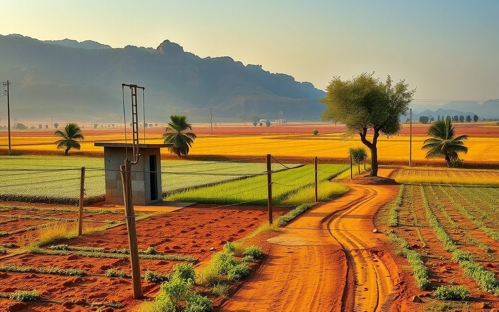
Farm land around the Bhongir fort town on NH-163, 30–35 km past the ORR. Village-by-village guide, honest water and Baswapur canal picture, RRR context, indicative per-acre prices and the title checks this district needs.
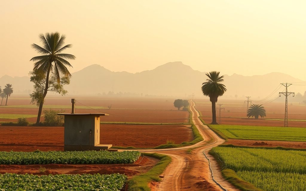
Farm land on the Nagarjuna Sagar Highway 10 km beyond the ORR, from pre-layout parcels near Adibatla to orchards towards Manchal and Yacharam. Indicative per-acre prices, water quality, acquisition risk and title checks.
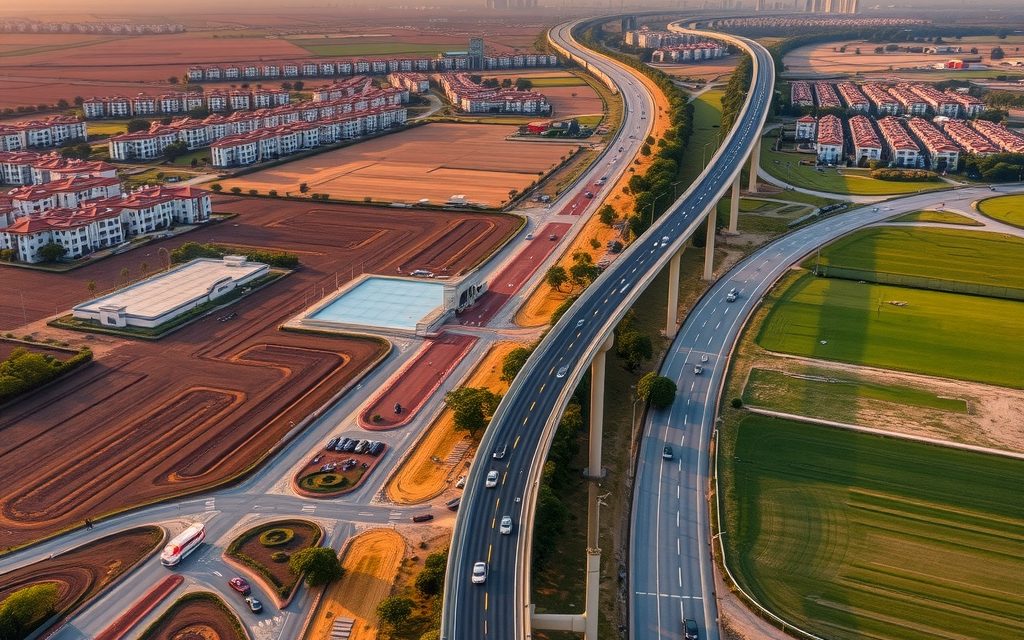
The RRR is the biggest land story around Hyderabad and the most misunderstood. This guide separates the northern and southern arms, explains acquisition and compensation, and shows how far from the alignment buyers should actually be.

NRIs and OCIs cannot buy or receive gifts of agricultural land, plantations or farmhouses; inheritance is the only route. What inherited land allows, why benami workarounds are dangerous, and the lawful alternatives near Hyderabad.
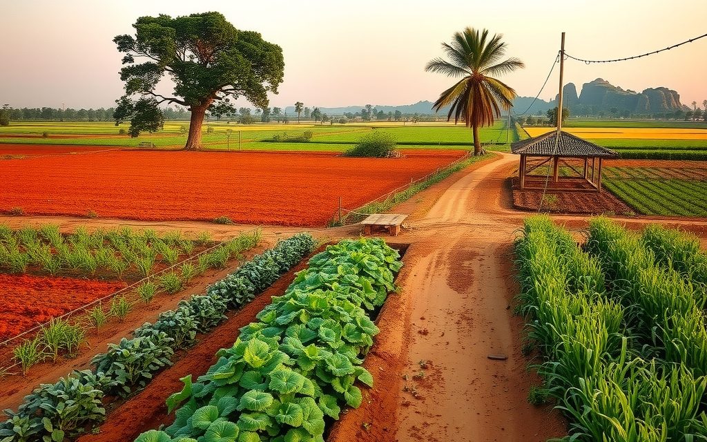
Red-soil farmland 4 km from the ORR beside the Aerospace SEZ and TCS campus. Interior villages still farm vegetables and mango; land near the SEZ is priced as future layout land and needs careful acquisition checks.