Agriculture & Farm Land in Narsingi, Hyderabad
The last patta parcels between the Narsingi interchange, Manchirevula and the Musi. How to tell genuine farm land from development land, indicative per-acre bands, JDA basics and the checks that matter here.
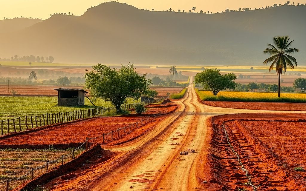
- On the western ORR at the Narsingi interchange; 12–25 min to the Financial District
- Gandipet mandal: agricultural land at the Gandipet Tahsildar, converted land at the Gandipet SRO
- Agricultural bores commonly 500–1,200 ft; river-terrace farms hold water best
- Red sandy loam with deeper silt near the Musi; guava, mango, vegetables and fodder
- Remaining parcels mostly 10 guntas to 2 acres; zoning decides value more than soil
| What | Indicative range | Note |
|---|---|---|
| Agricultural-record land zoned residential, near the interchange | ₹18 Cr – ₹35 Cr per acre | indicative, Oct 2026 |
| Agricultural-record land zoned residential, Manchirevula interior | ₹12 Cr – ₹22 Cr per acre | indicative, Oct 2026 |
| Genuinely agricultural land, conservation or agricultural zoning | ₹6 Cr – ₹14 Cr per acre | indicative, Oct 2026; buffer-dependent |
| Small agricultural holdings sold in guntas | ₹40 L – ₹90 L per gunta | indicative, Oct 2026; verify mutation and building rights |
| For comparison: approved HMDA layout plot | ₹35,000 – ₹60,000 per sq yd | indicative, Oct 2026 |
Ranges reflect recent transactions and advisor observation as of 2026-10. Always verify against the sub-registrar market value and the specific parcel.
Ten years ago Narsingi and Manchirevula were where the city's paddy fields, vegetable plots and guava orchards met the new Outer Ring Road. Today the Narsingi interchange is ringed by 30 and 40-storey towers, gated villa enclaves and HMDA plotted layouts, and a buyer searching for agriculture land in Narsingi is really asking a narrower question: which of the few remaining patta parcels in Gandipet mandal, Rangareddy district, are still genuinely agricultural, which are development land wearing an agricultural passbook, and what each is worth. That distinction decides the price, the risk and who should be buying.
This page sets out how the Narsingi and Manchirevula fringe has changed, where real farm land still exists, indicative per-acre and per-gunta ranges as of October 2026, how joint-development deals work when a landowner sells to a builder, the Musi river and forest-edge risks particular to this pocket, the full Telangana legal checklist, and how registration works through the Gandipet Tahsildar and the Gandipet sub-registrar office. The figures reflect recent transactions and advisor observation, not portal listings.
Why buyers still ask for agriculture land in Narsingi
Narsingi's attraction is simple: location. It sits on the western ORR between Kokapet and Manikonda, roughly 6 to 10 km from the Financial District and Gachibowli, with direct access from the Narsingi interchange and the Kokapet road. Every acre here is within a short drive of the offices that employ Hyderabad's highest earners, and that proximity is why the village turned from fields into one of the city's busiest residential markets within a single decade.
The people asking us about farm land here fall into three groups. Long-time landowning families want to know what their remaining acres are worth and whether to sell outright or enter a joint development. Investors want a piece of the last unconverted land before it disappears. And a smaller group of buyers genuinely want a productive orchard within 20 minutes of home and are surprised by the prices. We answer each of them differently, but all three need the same starting point: an honest picture of what is still agricultural and what is not.
If what you actually want is a weekend farm at a farming price, Narsingi is the wrong place. You will do better on the western side of Osman Sagar, covered on our page on agriculture land in Gandipet, or further out in Moinabad.
Narsingi fringe land: the October 2026 picture
- Remaining stock: small. Most land within 2 km of the Narsingi interchange has been converted, developed or tied up in joint development agreements.
- Where farm land survives: pockets of Manchirevula toward the Osman Sagar and Musi side, scattered holdings between the Kokapet road and the lake, and parcels carrying conservation or water-body zoning.
- Typical parcel: 10 guntas to 2 acres; contiguous 5-acre blocks are rare and usually already in a developer's sights.
- Who is buying: developers and land aggregators for residentially zoned land; high-net-worth families for the occasional orchard parcel.
- Biggest risk: paying development-land prices for a parcel that sits in a Musi or lake buffer, a forest edge, or a conservation zone where housing is not permitted.
From fields to villa ventures: how Manchirevula and Narsingi changed
The transformation followed the road. When the western section of the ORR opened, the Narsingi interchange put these villages minutes from the Financial District. Through the late 2010s, landowners near the interchange sold or signed joint development agreements with builders, and high-rise projects rose along the Narsingi–Kokapet road. Gated villa projects followed on the slopes toward Manchirevula and Puppalaguda, and HMDA plotted layouts filled the gaps.
Two forces held parts of the belt back. The first was GO 111: some land on the Osman Sagar side fell within the catchment restrictions until the order was withdrawn in 2022, which kept it in agricultural or conservation use far longer than land a kilometre away. The second was the Musi river, which leaves Osman Sagar and flows east past Manchirevula toward the city. Riverbed, buffer and flood-prone land along its course cannot be developed, and much of it remains in cultivation, scrub or government hands.
The result is a patchwork. You can stand at a farm gate in Manchirevula with a guava orchard behind you and a tower crane in front. For a buyer, the patchwork is both the opportunity and the trap, because two parcels a few hundred metres apart can carry completely different zoning.
If you are comparing farm land here with a finished home in the same area, our pages on villas in Narsingi and apartments in Narsingi give the price per square foot for built property.
What is genuinely agricultural in Narsingi today
We use a simple three-way test when a seller offers "farm land" in Narsingi or Manchirevula.
1. What the land record says
Is the parcel recorded as patta agricultural land in the Bhu Bharati record of rights, with a current pattadar passbook in the seller's name? Has any part been converted under NALA? A surprising number of parcels here have been partly converted, with the remainder still agricultural.
2. What the master plan says
The HMDA master plan assigns each survey number a land use. A parcel can be agricultural in the revenue records yet zoned residential in the master plan, which means it can be converted and developed and is priced accordingly. Equally, a parcel can be zoned conservation, recreational or water-body buffer, which means it is likely to stay agricultural whatever the market wants.
3. What is happening on the ground
Is it actually being farmed? Is there a borewell with an agricultural power connection, an orchard, crops? Or is it a fenced vacant plot waiting for a builder? This matters for valuation, for understanding the seller's expectations and, in some cases, for tax treatment.
Genuinely agricultural land, in our sense, is land that passes all three: recorded as agricultural, zoned for agricultural or conservation use, and actively farmed. In Narsingi that is now a small category, concentrated toward the lake and the river. Everything else is development land with an agricultural passbook, and it should be valued and checked as development land.
Getting to Narsingi and Manchirevula
Narsingi is among the best-connected villages on the western side of the city. The practical routes are:
- Narsingi ORR interchange: drops you straight onto the Narsingi–Kokapet road; the most direct approach from Gachibowli and the airport side.
- Kokapet road: links Narsingi to Neopolis and the Kokapet interchange; heavy with construction traffic during the day.
- Manikonda and Puppalaguda: from Lanco Hills and the Alkapur township side, the internal roads drop toward Narsingi in 10 to 15 minutes.
- Manchirevula road: runs south and west toward the Musi crossing and the Himayat Sagar side; this is where the remaining agricultural pockets are.
| From Narsingi interchange to | Approx. distance | Typical drive |
|---|---|---|
| Financial District | 6–8 km | 12–25 min |
| Gachibowli | 9–11 km | 20–35 min |
| Kokapet / Neopolis | 3–5 km | 8–15 min |
| Osman Sagar (Gandipet lakefront) | 7–9 km | 15–25 min |
| Mehdipatnam | 12–14 km | 30–45 min |
| RGIA, Shamshabad (via ORR) | 24–28 km | 25–40 min |
Soil, water and the farms that remain
The soil around Narsingi and Manchirevula is the familiar red sandy loam of the Deccan, deeper and somewhat darker in the low ground near the Musi where silt has settled over the years. Granite outcrops are common on the higher ground toward Puppalaguda. The best surviving farmland is in the hollows and along the river terraces, where soil depth and moisture are better.
Water is the constraint. Heavy construction and hundreds of deep bores for apartment projects have pulled groundwater down sharply across the belt. Agricultural bores here commonly run 500 to 1,200 feet, and older shallow wells near the developed areas have largely dried. Farms closer to the river terraces tend to hold water better, but they are also the parcels most likely to fall within the Musi buffer. On any visit, run every bore for at least 30 minutes and ask the neighbours how it behaves in May.
What still grows here: guava and mango orchards, a few coconut groves around old farm homes, leafy vegetables and fodder grass for small dairies, and the occasional paddy patch in the wettest low ground. These farms are increasingly the exception, and many are held by families waiting for the right development offer rather than farming for income.
Agriculture land in Narsingi: indicative price ranges
Pricing in Narsingi depends overwhelmingly on zoning. The ranges below are indicative, based on recent transactions and advisor observation as of October 2026. They are not quotes, and individual parcels can sit well outside them.
| Parcel type | Indicative range | What decides the number |
|---|---|---|
| Agricultural-record land zoned residential, near the interchange | ₹18 Cr – ₹35 Cr per acre | Road width, frontage, distance from the ORR, height potential |
| Agricultural-record land zoned residential, Manchirevula interior | ₹12 Cr – ₹22 Cr per acre | Approach road, shape, title cleanliness |
| Genuinely agricultural land, conservation or agricultural zoning | ₹6 Cr – ₹14 Cr per acre | Buffer status, water, likelihood of future rezoning |
| Small agricultural holdings sold in guntas | ₹40 L – ₹90 L per gunta | Whether a house can legally be built; mutation path |
| For comparison: approved HMDA layout plot in Narsingi | ₹35,000 – ₹60,000 per sq yd | Layout quality, road width, release status |
A gunta is about 121 square yards. At ₹60 lakh a gunta, an agricultural holding costs roughly ₹50,000 per square yard, which is approved-plot money without approved-plot certainty. Unless the zoning and conversion path are proven, small agricultural holdings at these prices rarely make sense for an end user.
Types of parcels on offer around Narsingi
- Development-ready acreage: 1 to 5 acres with agricultural records and residential zoning, priced for a builder and usually sold either outright or through a joint development agreement.
- Old family orchards: 1 to 3 acre guava or mango orchards with a farm home, mostly toward the river and the lake. These come up rarely and usually off-market.
- Fragments and remainders: strips and corners left over after neighbouring land was developed; often cheap per acre but with access, shape or zoning problems.
- Agricultural "plots" in guntas: small sub-divided holdings marketed as house plots. Inside the HMDA area these carry the risk of being treated as an unauthorised layout, and they need the closest scrutiny.
Joint development: when Narsingi farm land goes to a builder
Many landowners in Narsingi do not sell outright. They sign a joint development agreement (JDA) under which a builder develops the land and the owner receives a share of the built area or the sale proceeds. If you are a landowner, or an investor buying land with a view to a JDA, a few points matter:
- Share and structure: the owner's share varies widely with location, road width and permissible height, and the agreement should spell out exactly which units or floors the owner receives.
- Refundable deposit: most JDAs include a refundable or adjustable deposit paid by the builder; understand when it is adjusted and what happens if the project stalls.
- Approvals and timelines: the agreement should fix responsibility for conversion, HMDA permissions, TS RERA registration and delivery dates, with penalties.
- Tax: a JDA can trigger capital gains in specific ways. Take a CA's advice before signing, not after.
- Development agreement registration: development agreements and the related power of attorney are registered at the SRO and carry their own stamp duty, which we verify on the day.
We represent landowners in JDA negotiations as well as buyers. Our job is to make sure the terms reflect what the land is actually worth and that the builder has the track record to deliver.
The Musi river and forest edges: Narsingi-specific checks
Two features of this pocket deserve their own checks. The first is the Musi. After leaving Osman Sagar the river runs east past Manchirevula, and the state's Musi riverfront rejuvenation plans have brought fresh attention to the riverbed, buffer and flood-prone land along its course. Land inside the river's bed or buffer cannot be developed and can face removal of structures. We overlay the river and its buffer on the survey map for any parcel within a kilometre of the water.
The second is forest and government land. There are patches of forest and government land around Manchirevula, and the boundaries between them and private patta land have been disputed in places. A forest boundary that clips your parcel can make part of it unusable. We check forest notifications and government land records, and we ask the surveyor to locate boundary stones on the ground rather than relying on a sketch.
A worked example: pricing a two-acre Manchirevula parcel
To show how zoning changes everything, consider a hypothetical two-acre parcel in Manchirevula, recorded as patta agricultural land with a working borewell and a guava orchard, on a 30-foot village road about 3 km from the Narsingi interchange. The seller asks ₹20 crore per acre, or ₹40 crore in total, on the basis that "everything around here is going residential".
The first step is the master plan. Suppose the survey number turns out to be zoned residential for the eastern acre and conservation for the western acre, which slopes toward a stream. The eastern acre can be valued as development land, perhaps within the ₹12 crore to ₹22 crore band for the interior, adjusted for the narrow road. The western acre should be valued as agricultural land with limited conversion prospects, somewhere in the ₹6 crore to ₹14 crore band, and further discounted if the stream carries a buffer that reduces the usable area.
The second step is the road. A 30-foot approach limits what a developer can build and therefore what one will pay. If the master plan proposes widening the road to 60 or 80 feet, part of the frontage may be lost to the widening line, which reduces the usable area but improves the value of what remains. We read the road development plan before putting a number on frontage.
The third step is title and water. If the 30-year EC is clean, the link documents run back without gaps and the borewell yields well in a May test, the parcel deserves the upper end of its bands. If a 1970s partition is undocumented or a sibling's share is unresolved, the price should reflect the time and cost of fixing it.
Put together, a defensible offer for this parcel might sit well below the asking ₹40 crore, with the gap explained line by line: one acre priced as development land, one as agricultural land, adjustments for the road and the stream. Sellers do not always accept that reasoning, but buyers who pay ₹20 crore an acre for a conservation-zoned slope usually regret it. This kind of survey-number-level valuation is the core of what we do for clients in Narsingi.
Telangana agriculture land legal checklist for Narsingi parcels
- Pattadar passbook in the seller's name, matching survey number and extent.
- Bhu Bharati record of rights: check the parcel on dharani.telangana.gov.in (now linked to Bhu Bharati) for status, extent and any prohibited flag.
- 1B and pahani for past years to confirm ownership and cultivation history.
- Encumbrance certificate for 30 years from the SRO, covering both the agricultural and any converted portions.
- Link documents back to the original holder, including partitions and succession papers.
- Survey number and FMB sketch, plus a fresh survey by a licensed surveyor.
- NALA status: which portion, if any, has been converted, and under what conditions.
- Section 22-A list: confirm the parcel is not government, endowment or wakf land, or otherwise prohibited.
- Assigned land: parcels assigned to landless families cannot be sold; several around the city fringe have been informally traded for years.
- 58/59 regularisation: if any link in the chain was regularised, read the conditions.
- Ceiling, ULC and forest: confirm no surplus declaration and no forest overlap.
- Master plan, Musi and lake buffers: land use for the survey number, river and lake buffers, nala alignment and any road-widening line.
Registration in Narsingi: Gandipet offices and charges
Narsingi and Manchirevula are in Gandipet mandal. Land still recorded as agricultural registers at the Gandipet Tahsildar office, where the Tahsildar acts as joint sub-registrar and mutation is completed in the same step. Converted land, plots and built property register at the Gandipet SRO.
| Item | Approximate rate | Comment |
|---|---|---|
| Stamp duty | ~5.5% | On market value or agreed price, whichever is higher |
| Transfer duty | ~1.5% | Payable with stamp duty |
| Registration fee | ~0.5% | Verified on the day of registration |
| Indicative total | ~7.5% | Excludes advocate, surveyor and advisory fees |
Check the current rates at the office or on registration.telangana.gov.in before you budget. On tax, the 1% TDS under Section 194-IA does not apply to rural agricultural land, but land within municipal limits is generally not treated as rural agricultural land for income-tax purposes even if it is farmed. In an urbanised area like Narsingi, assume the 1% TDS applies to purchases above ₹50 lakh unless your CA advises otherwise.
Is Narsingi farm land right for you?
It can suit
- Developers and well-capitalised investors buying residentially zoned land with clear title.
- Landowners deciding between selling outright and a JDA, who need an independent valuation.
- A family that finds a genuine orchard parcel with verified zoning and is happy to hold it as a family asset.
It rarely suits
- Buyers looking for a weekend farm on a modest budget.
- Anyone needing a bank loan; agricultural land is generally not financed.
- Buyers of small gunta holdings marketed as house plots without approvals; an approved plot or a villa in nearby Puppalaguda villas is usually safer.
NRIs and Narsingi farm land
NRIs and OCI cardholders cannot purchase agricultural land, plantation property or farmhouses in India under FEMA, and they cannot receive such land as a gift. They can inherit agricultural land, and they may sell inherited farm land only to a resident Indian. Many NRI families own ancestral acreage in Narsingi and Manchirevula; for them, the real questions are mutation after inheritance, valuation and whether to sell or enter a JDA, and we handle all three.
NRIs who want exposure to Narsingi can buy approved plots, villas and apartments through NRE or NRO funds. Our guide to NRI agriculture land rules in Telangana covers inheritance and sale in detail, and we recommend a CA for repatriation and tax on any sale.
Working with NRR Estates on Narsingi land
- Zoning and buffer screen for each survey number before any visit.
- Site visit with boundary walk, bore test and access check.
- Title verification through passbook, Bhu Bharati, 1B, pahani, 30-year EC, link documents and FMB, with an advocate's opinion.
- Valuation and negotiation against recent comparable transactions, for buyers and for landowners weighing a JDA.
- Registration and mutation at the Gandipet Tahsildar or SRO, with follow-up until records are updated.
Our fees are agreed in writing before you commit. If Narsingi turns out to be priced beyond your purpose, the remaining agricultural pockets around agriculture land in Kokapet and toward Gandipet village are worth comparing.
Narsingi agriculture land FAQ
Is there still agriculture land available in Narsingi?
Yes, but not much. Most land within two kilometres of the Narsingi interchange has been converted, developed or committed to joint development agreements. Genuine farm land survives mainly in Manchirevula toward the Osman Sagar and Musi side, in scattered holdings between the Kokapet road and the lake, and on parcels with conservation or water-body zoning. Typical parcels are 10 guntas to 2 acres. Many are sold off-market by long-time families, so availability depends more on relationships and timing than on listings.
What is the price of agriculture land in Narsingi per acre?
It depends mostly on zoning. As of October 2026, land recorded as agricultural but zoned residential near the interchange typically trades around ₹18 crore to ₹35 crore per acre, and roughly ₹12 crore to ₹22 crore in the Manchirevula interior. Genuinely agricultural land with conservation or agricultural zoning is usually in the ₹6 crore to ₹14 crore range. These are indicative figures from recent transactions and advisor observation, not quotes, and road width, buffers, water and title can move a parcel well outside them.
How do I know if a Narsingi parcel is genuinely agricultural?
Apply three tests. First, the land record: is it patta agricultural land in Bhu Bharati with a current passbook, and has any part been converted under NALA? Second, the master plan: is the survey number zoned residential, which means it is really development land, or agricultural, conservation or buffer, which means it is likely to stay farmland? Third, the ground: is it actually being farmed, with a borewell, power connection and crops? Only parcels that pass all three should be priced as farm land.
Should I sell my Narsingi land outright or sign a joint development agreement?
It depends on your timeline, your need for cash and the builder's credibility. A JDA can give you a larger total value through a share of built units or sale proceeds, but you carry the risk of delays, approvals and the builder's finances. An outright sale gives certainty now. The key JDA terms are the owner's share and exactly which units it covers, the refundable deposit, responsibility for approvals and RERA, delivery dates and penalties. Take a CA's advice on capital gains before signing either.
Where is agricultural land in Narsingi registered?
Narsingi and Manchirevula are in Gandipet mandal. Land still recorded as agricultural registers at the Gandipet Tahsildar office, where the Tahsildar acts as joint sub-registrar and mutation is done in the same step. Converted land, plots and built property register at the Gandipet SRO. Charges are approximately 5.5% stamp duty, 1.5% transfer duty and 0.5% registration fee, about 7.5% in total. Rates change, so we verify them on the day of registration and budget advisory, advocate and surveyor fees separately.
Does 1% TDS apply when buying agricultural land in Narsingi?
Often, yes. Section 194-IA exempts rural agricultural land from the 1% TDS on purchases above ₹50 lakh, but land within municipal limits, or within the specified distance of them, is generally not treated as rural agricultural land for income-tax purposes even if it is farmed and recorded as agricultural. Narsingi is an urbanised area, so assume the 1% TDS applies unless your CA confirms otherwise for the specific parcel. The buyer deducts and deposits it, and higher rates apply if the seller is an NRI.
Can NRIs buy farm land in Narsingi?
No. Under FEMA, NRIs and OCI cardholders cannot purchase agricultural land, plantation property or farmhouses, and cannot receive them as a gift. They can inherit agricultural land and may sell inherited farm land only to a resident Indian. Many NRI families hold ancestral acres in Narsingi and Manchirevula, and for them the practical work is mutation after inheritance, valuation and choosing between a sale and a JDA. NRIs can buy approved plots, villas and apartments in Narsingi through NRE or NRO funds.
What are the main risks with Narsingi farm land?
The biggest is paying development-land prices for a parcel that cannot be developed because it lies in a conservation zone, the Musi river buffer, a lake buffer, a nala alignment or a forest edge. Others are partly converted parcels with unclear boundaries between converted and agricultural portions, unresolved family shares, small gunta holdings marketed as house plots without layout approval, and road-widening lines that eat into frontage. Every one of these can be checked before you pay an advance, and we check all of them.
Related guides
Narsingi sits on the ORR between Kokapet and Manikonda, 10–20 minutes from the Financial District. Villa stock is limited and varied, from gated communities to older independent houses priced on land.
Narsingi sits on the ORR between Kokapet and Manikonda, with new gated towers at a clear discount to Neopolis. Indicative per-sq-ft bands, BHK budgets, JV and RERA checks, rents and NRI steps.
Red-soil acreage, orchards and farmhouse estates around Osman Sagar, minutes from Kokapet. What the GO 111 repeal changed, indicative per-acre bands, lake FTL risks and how registration works.
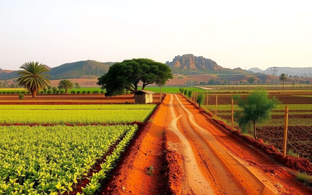
The last private agricultural pockets in Kokapet, between Neopolis, the old village and the Gandipet slopes. Indicative per-acre bands, why auction prices mislead, land-bank break-even maths and title checks.
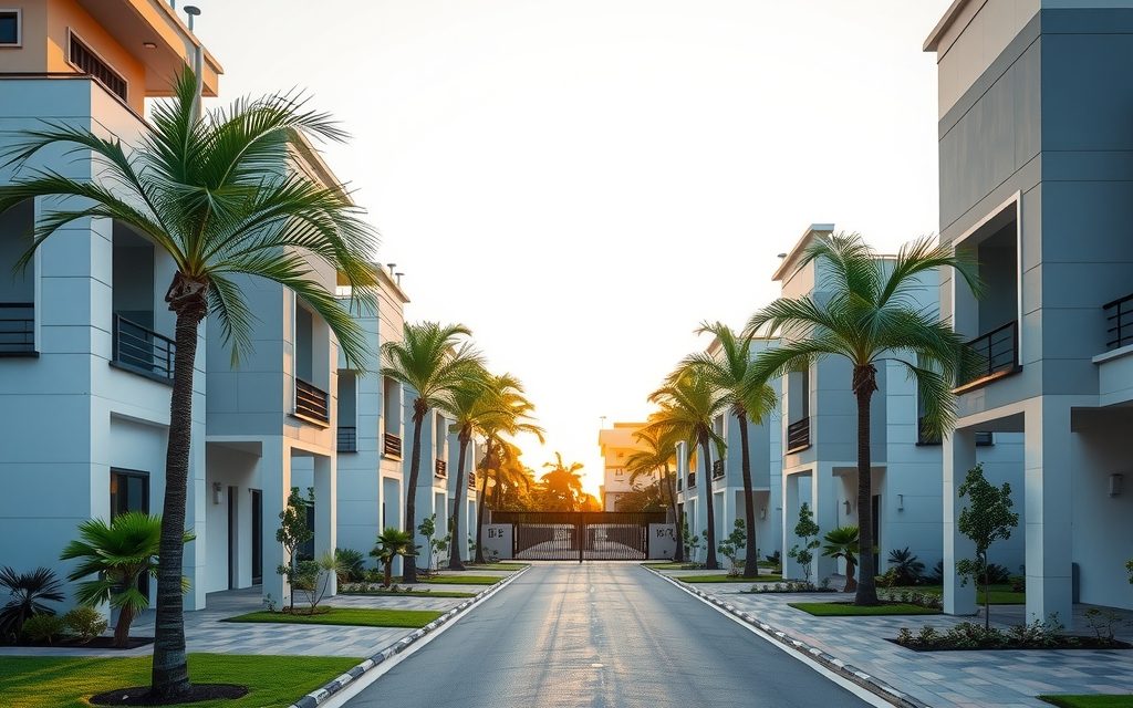
Puppalaguda's villas sit minutes from the Financial District on scarce, rocky land between Manikonda and Narsingi. See October 2026 price ranges, how to value the land underneath, and the rock, lake and approval checks that matter.
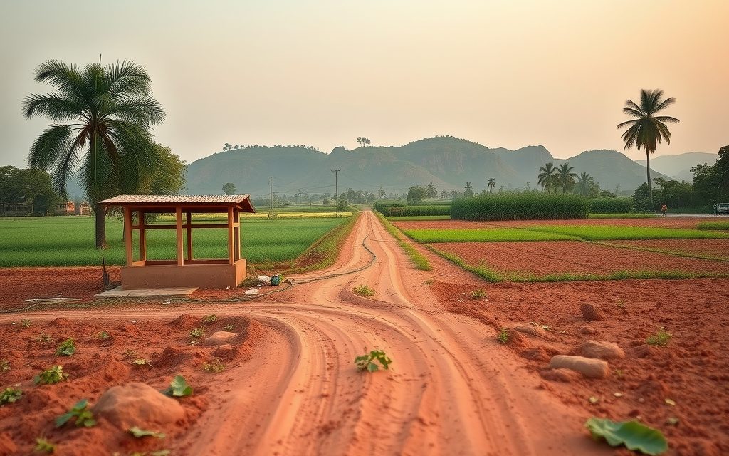
Hyderabad's closest established farmhouse belt, 10 minutes past the ORR at Himayat Sagar. Orchards, managed farm plots and estates, with the former GO 111 catchment rules explained.
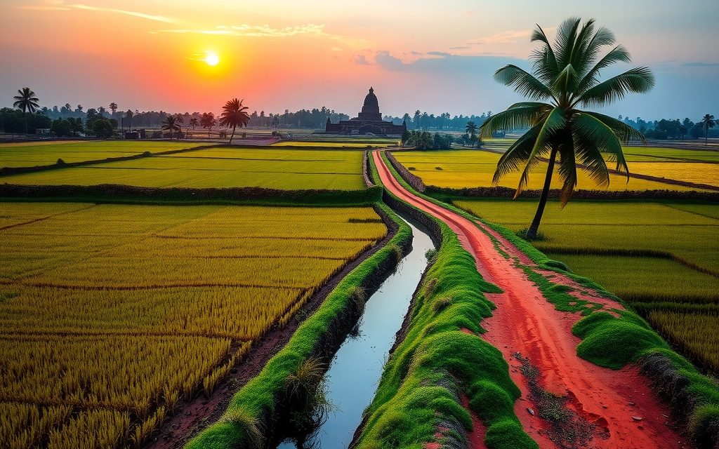
NRIs and OCIs cannot buy or receive gifts of agricultural land, plantations or farmhouses; inheritance is the only route. What inherited land allows, why benami workarounds are dangerous, and the lawful alternatives near Hyderabad.
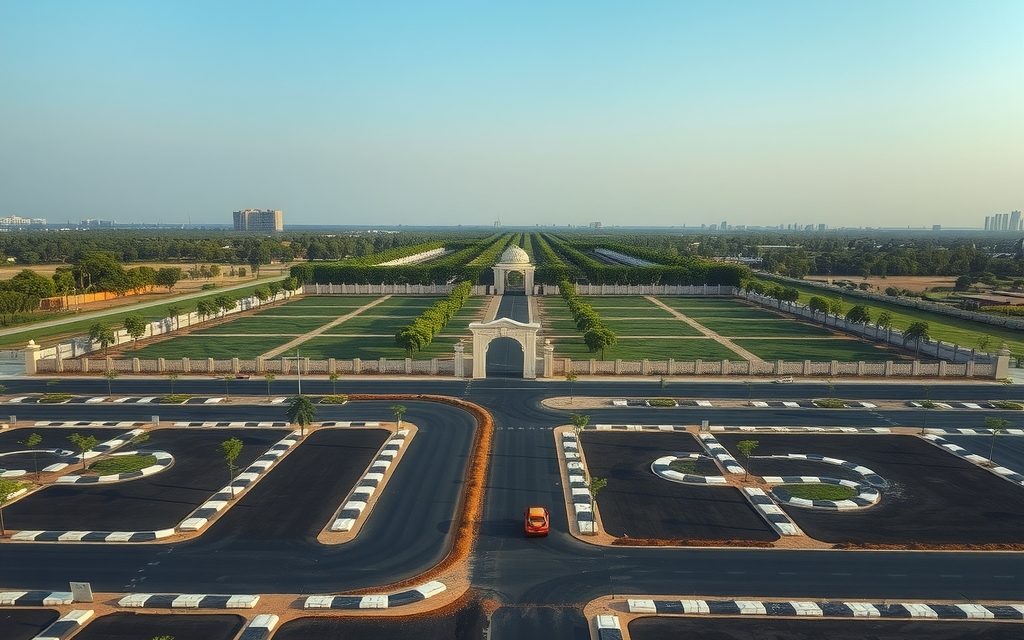
Narsingi's HMDA and villa plots sit at the ORR interchange between Kokapet and the Financial District. Indicative rates by pocket, what the GO 111 repeal changed, legal checks and costs.