Agriculture & Farm Land in Huzurnagar, Suryapet
Double-crop paddy land on the Nagarjuna Sagar left canal, a limestone cement belt and Krishna-side villages, 25 km from Kodad. Indicative per-acre prices, canal reliability checks and the Telangana title checklist.
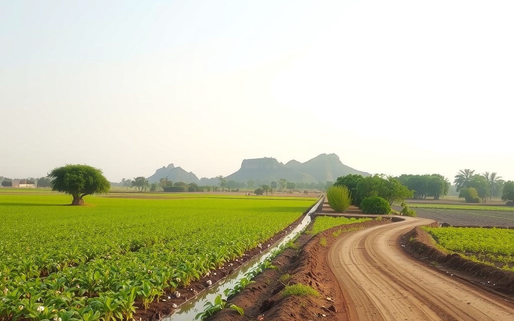
- About 25 km south-west of Kodad and NH-65; roughly 175–185 km from Hyderabad
- Nagarjuna Sagar left canal command on deep black cotton soil; two paddy crops in a normal year
- Cement plants on limestone around Mellacheruvu and Mattampally; Pulichintala backwaters on the Krishna
- Good-reach canal wet land typically ₹32 L – ₹58 L per acre as of October 2026
- Agricultural land registers at the mandal Tahsildar office; converted land and plots at the Huzurnagar SRO
| What | Indicative range | Note |
|---|---|---|
| Huzurnagar town fringe within about 6 km, BT road | ₹70 L – ₹2 Cr per acre | indicative, Oct 2026 |
| NSP left canal wet land, good reach, two crops | ₹32 L – ₹58 L per acre | indicative, Oct 2026 |
| Tail-end or lift-fed paddy land | ₹20 L – ₹36 L per acre | indicative, Oct 2026 |
| Black-soil chilli, cotton or maize land with a borewell | ₹18 L – ₹34 L per acre | indicative, Oct 2026 |
| Limestone-belt land, Mellacheruvu–Mattampally side | ₹15 L – ₹45 L per acre | indicative, Oct 2026; mining-lease checks essential |
| Farm plots in small ventures near the Kodad road | ₹1.5 L – ₹3.5 L per gunta | indicative, Oct 2026 |
Ranges reflect recent transactions and advisor observation as of 2026-10. Always verify against the sub-registrar market value and the specific parcel.
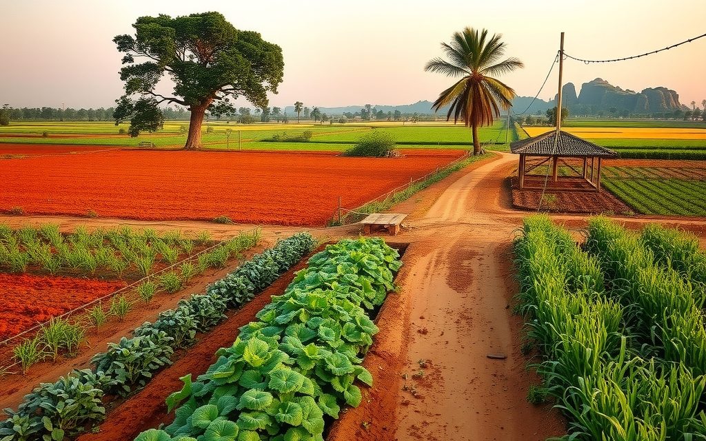
Drive south-west from Kodad toward Huzurnagar in September and the road runs between two unbroken sheets of green: paddy on both sides, fed by the distributaries of the Nagarjuna Sagar left canal, with the occasional chilli or cotton field on higher ground. Further south, the land lifts slightly over limestone, cement plant chimneys appear near Mellacheruvu and Mattampally, and then the Krishna, the boundary with Andhra Pradesh. That sequence of canal paddy, limestone belt and river edge is the whole story of agriculture land in Huzurnagar. This guide explains what each part is worth per acre as of October 2026, how to tell a reliable canal parcel from a tail-end one, the cement-belt and Pulichintala checks, and how to register at the mandal Tahsildar office.
We cover Huzurnagar town and the surrounding mandals of the southern Suryapet district, including Garidepally, Neredcherla, Mattampally, Mellacheruvu and Chintalapalem. Until 2016 this area was part of Nalgonda district (our Nalgonda farm land guide covers the neighbouring belt), so older sale deeds and encumbrance records often sit under Nalgonda jurisdictions, and title tracing has to cover both.
Why Huzurnagar for farm land
Huzurnagar's farmland earns its value the old-fashioned way: water and soil. The Nagarjuna Sagar left canal and its distributaries deliver Krishna water across deep black cotton soil, and in a normal year that means two paddy crops. The local economy is built on it, from the rice mills of nearby Miryalaguda to the procurement centres in every mandal. Land like this tends to hold value through cycles because someone always wants to farm it.
Second, Huzurnagar is cheaper than the highway towns. Kodad and Suryapet sit on NH-65, and their fringes carry highway and plotting premiums. Huzurnagar is about 25 km off the highway, smaller and quieter, so its interior canal land trades a little below comparable land closer to NH-65 while delivering similar yields.
Third, a strong local buyer base. Prosperous canal-belt farmers, families with members working in Hyderabad, Vijayawada and abroad, and people employed in the cement belt all buy land here. That keeps resale realistic, though it also means good parcels often go to neighbours before outsiders hear about them.
Location and access from Hyderabad, Kodad and Miryalaguda
Huzurnagar is roughly 175 to 185 km from central Hyderabad. The usual route takes NH-65 through Choutuppal and Suryapet to Kodad and then turns south-west; an alternative runs via Nalgonda and Miryalaguda. Expect three and a half to four hours from Gachibowli, depending on route and traffic.
- Kodad and NH-65: about 25 km north-east, the nearest highway town.
- Miryalaguda: about 40 km west, the rice-mill centre of Nalgonda district.
- Suryapet: the district headquarters, around an hour's drive north-west.
- Mattampally and the Krishna: to the south, with the Narasimha temple at Mattapalli on the riverbank.
- Vijayawada: reachable via Kodad in about two to two and a half hours, the main city for specialist healthcare and trade for many families here.
Inside the belt, the Kodad road, the Miryalaguda road and the roads south into the cement belt carry most traffic. Canal service roads often double as farm access, but they belong to the irrigation department and are not a legal right of way for your parcel. Confirm that the land has its own access, ideally a gram panchayat road or a recorded cart track, before you value it as well-connected.
Reading the left-canal command: wet land, tail ends and dry years
The Nagarjuna Sagar dam on the Krishna feeds two great canals: the right canal into Andhra Pradesh and the left canal, which runs through Nalgonda, Suryapet and Khammam districts before crossing into Andhra Pradesh. Huzurnagar's paddy belt sits in the middle reach of the left canal command, served by a dense network of major and minor distributaries.
Head reach and tail end
Within the command, the position of a parcel on its distributary decides reliability. Land near the head of a minor gets water first and longest; land at the tail end often gets water late, or not at all for the second crop in a weak year. Prices reflect this, and the difference within a single village can be large. Ask which distributary and minor serve the survey number, and where along it the parcel sits.
Localisation
Ayacut in major canal commands was historically designated, or localised, for wet crops such as paddy or for irrigated dry crops. Over decades, farmers in many areas have grown paddy wherever water reaches, but localisation still influences priority in water releases and is worth asking about for any parcel you plan to keep in paddy.
When the Sagar does not fill
Releases into the left canal depend on how much water reaches Nagarjuna Sagar from the upper Krishna, which in turn depends on monsoon rain in Maharashtra and Karnataka and on storage upstream. In recent dry years, releases have been cut to a single crop or to drinking water only. For this reason, a canal parcel with a reliable borewell as backup is worth meaningfully more than one that depends on the canal alone. Borewells in the command commonly strike water between 60 and 200 feet thanks to canal recharge; on uplands away from the canal, 250 to 450 feet is more typical.
Black soil, paddy and the crops that fill the gaps
Deep black cotton soil dominates the canal belt. It holds water, suits paddy and supports high yields with good management. On slightly higher ground, mixed and red soils grow cotton, chilli and maize, and chilli in particular can produce strong returns in good years, though it carries more price and pest risk. Pulses such as green gram and black gram are grown in rotation in some villages.
Orchards are a minor part of the picture but present: mango on lighter soils, sweet lime in pockets, and oil palm planted under the state mission where borewell water is assured. Oil palm suits buyers who want a lower-labour plantation, though it takes several years to mature and needs year-round water.
For a buyer, the main question is not which crop but which water. Paddy land without dependable water is not paddy land; it is dry land priced optimistically.
A dry-year stress test before you buy
Because the left canal depends on the upper Krishna, every serious buyer should ask how a parcel would perform in a year when the Sagar does not fill. We run a simple stress test with the seller and neighbours.
- Kharif only: in the most recent year when the canal gave one crop, what did this field grow in yasangi, if anything?
- Bore performance: how many hours a day did the borewell run in April and May of that year, and did it irrigate the full extent or only part of it?
- Power: is the agricultural power connection in the seller's name, and is it transferable with the land?
- Alternative crops: did farmers on this minor switch to maize, pulses or chilli in the dry year, and did that work on this soil?
- Tank backup: is there a village tank whose ayacut includes the parcel, and did it hold water that year?
A parcel that came through a dry year with a reasonable second crop on borewell water is worth the top of its band. One that sat fallow is worth noticeably less, whatever the seller says about normal years. The step-by-step guide to buying agricultural land in Telangana sets this inside the wider due-diligence sequence.
Limestone under the soil: the cement belt's double edge
South of Huzurnagar, around Mellacheruvu, Mattampally and Chintalapalem, the land sits over limestone deposits that support several large cement plants. This creates a market and a set of risks that buyers in the canal belt never face.
- Mining leases. Limestone deposits are mined under leases, and cement companies and lessees buy or acquire land within and around their lease areas. Check whether the survey number lies inside or next to a granted or applied-for lease.
- Company purchases. Land with good limestone below can attract offers from mining interests at prices above agricultural value. That can be an opportunity for sellers, but buyers should not overpay for land on the hope of such an offer.
- Dust and traffic. Fields near plants, quarries and haul roads can collect dust, and heavy truck traffic affects access and village roads.
- Water and blasting. Quarry dewatering can lower local water tables, and blasting near quarries restricts use within safety zones.
Our pricing reflects this split: limestone-belt land trades in a wide band, from below canal-land prices for dusty or quarry-adjacent parcels to well above them where mining interest is real.
The Krishna edge: Pulichintala backwaters and river villages
Further south, the Krishna forms the state boundary. The Pulichintala project downstream holds back water along the river, and land in low-lying river villages was acquired for its submergence area. River-side land offers fertile alluvium and lift irrigation potential, but it needs extra checks: acquisition and submergence records, flood history, river-bed limits and confirmation that the parcel is in Telangana rather than across the boundary. Ask neighbours where the water reached in recent big floods.
Agriculture land in Huzurnagar: indicative price bands
The ranges below reflect recent transactions and advisor observation as of October 2026. They are indicative only, and individual parcels move outside them for water, frontage, shape and title. Prices are per acre; farm plots are quoted per gunta, and 40 guntas make an acre.
| Parcel and location | Indicative range | What moves the price |
|---|---|---|
| Huzurnagar town fringe within about 6 km, BT road | ₹70 L – ₹2 Cr per acre | Plotting potential, Kodad road proximity |
| NSP left canal wet land, good reach, two crops | ₹32 L – ₹58 L per acre | Head reach, field channel, bore backup |
| Tail-end or lift-fed paddy land | ₹20 L – ₹36 L per acre | Second-crop reliability |
| Black-soil chilli, cotton or maize land with a borewell | ₹18 L – ₹34 L per acre | Bore yield, soil depth, access |
| Limestone-belt land, Mellacheruvu–Mattampally side | ₹15 L – ₹45 L per acre | Lease proximity, dust, mining interest |
| Krishna-side land outside submergence | ₹15 L – ₹32 L per acre | Flood history, acquisition records |
| Farm plots in small ventures near the Kodad road | ₹1.5 L – ₹3.5 L per gunta | Fencing, plantation, approach road |
These bands sit just below those in our Kodad farm land guide and the canal figures for agriculture land in Miryalaguda, reflecting Huzurnagar's distance from the highway and the rice-mill town.
Mandal by mandal around Huzurnagar
Huzurnagar and Garidepally
The core of the canal belt, with dense distributaries and the most liquid paddy land. Town-fringe parcels price on plotting; interior canal land is where most farming buyers look. For residential plots in town, see our guide to open plots in Huzurnagar.
Neredcherla
Canal paddy with chilli and cotton on higher ground. Good value for buyers who want a mix of wet and dry land in one holding.
Mattampally
River-side villages, the Mattapalli temple, limestone and cement interests. Fertile land near the river, but acquisition, flood and mining-lease checks are essential.
Mellacheruvu and Chintalapalem
The heart of the cement belt. Land here prices on a mix of agriculture and mining interest; buy only after the lease map is checked.
Types of parcels you will see
Canal wet land. Patta survey numbers or sub-divisions, usually 1 to 5 acres, with a passbook and Bhu Bharati entry and a field channel. The most sought-after farmland in the area.
Mixed holdings. Paddy land plus a nearby dry plot with a bore. These spread risk across dry years.
Dry uplands. Cheaper, larger parcels for chilli, cotton, maize or an orchard; water investment needed.
Farm plots. A few ventures near the Kodad road sell fenced 10 to 20-gunta plots with plantation. Each plot needs a registered sale deed for a defined portion of a specific survey number; the land stays agricultural and a house needs NALA conversion and local permission.
Roadside and conversion land. On the Kodad and Miryalaguda roads, often bought for rice mills, godowns or plotting. Price it as development land and check NALA, master plan and road-widening lines.
Legal checklist for agriculture land in Huzurnagar, Telangana
Canal-belt villages produce a predictable set of title issues: unrecorded family partitions, extents that include canal and field-channel strips, crop loans secured on land, and old informal sales between neighbours. Add the cement belt's lease questions and the river's acquisition records, and the checklist looks like this.
- Pattadar passbook and Bhu Bharati. Name, survey number, extent and classification matching the online record on the land records portal.
- Pahanis and 1B. Cultivation history and any government, assigned or inam classification.
- Encumbrance certificate for 30 years. Covering Nalgonda-era and current jurisdictions.
- Link documents. Every sale, partition and succession record.
- Survey and FMB. A licensed surveyor to reconcile canal, distributary and road strips with the recorded extent.
- Canal land and setbacks. Canal beds, banks and service roads are irrigation department land and cannot be sold.
- Mining leases. In the limestone belt, check granted and applied-for leases around the survey number.
- Pulichintala and river records. Submergence, acquisition and river-bed limits for river-side land.
- Section 22-A and assigned land. Prohibited and assigned lands cannot be bought.
- Crop loans. Bank no-dues certificates before registration.
- NALA and ceiling. Conversion before non-agricultural use; ceiling checks for larger holdings.
Registration and charges in Huzurnagar
Unconverted agricultural land registers at the mandal Tahsildar office, where the Tahsildar acts as joint sub-registrar under Bhu Bharati and completes mutation in the same transaction. Slots are booked online, and both parties attend with identity documents and witnesses. NALA-converted land, open plots and houses register at the Sub-Registrar Office; for most town layouts that is the Huzurnagar SRO, and for outer villages we confirm jurisdiction from the survey number.
Charges are calculated on the higher of the agreed price and the government market value. These rates are approximate as of October 2026; we verify them with the registration department on the day.
| Charge | Approximate rate | Notes |
|---|---|---|
| Stamp duty | About 5.5% | Higher of market value and price |
| Transfer duty | About 1.5% | Gram panchayat areas: none, registration fee 2% instead |
| Registration fee | About 0.5% | Total roughly 7.5% either way |
| Mutation | Nominal | Same Tahsildar sitting |
On a ₹45 lakh canal acre, budget roughly ₹3.4 lakh in duties and fees if the price is higher than the market value, plus survey and legal costs. The 1 percent TDS under Section 194-IA does not apply to rural agricultural land; it applies to converted and urban property above ₹50 lakh. Land close to Huzurnagar's municipal limits may not count as rural agricultural land, so confirm with a CA.
Three offers in one village: how we compare them
Buyers in the canal belt are often shown several parcels in the same village at quite different prices, and the reasons are not always obvious. Here is a composite of the kind of choice we see around Huzurnagar.
Offer A is 2 acres near the head of a minor, with a field channel reaching the boundary and a borewell that runs through April, on a gravel road. The seller asks the top of the wet-land band. Offer B is 2 acres 10 guntas at the tail of a different minor, no bore, on a cart track, at the bottom of the tail-end band. Offer C is 3 acres in the middle of the band, with good canal access but a title gap: a sister who married and moved to Vijayawada has not signed the family partition.
Offer A looks expensive and is usually the safest buy, because both water sources are proven and the access is real. Offer B looks cheap, but if neighbours confirm the tail end missed the second crop in two of the last five years, its price is fair rather than low, and it suits only a buyer who will invest in a bore. Offer C may be the best value of the three, but only after the sister signs a registered release or joins the sale; until then it is not a purchase at all. Most buyers who come to us wanting the cheapest acre end up choosing between A and a resolved C.
Leasing canal land: income and practicalities
Canal wet land around Huzurnagar leases easily to local farmers, often for a season or a year, paid in cash or in a fixed number of paddy bags per acre. In our observation, cash leases on good canal land typically fall around ₹18,000 to ₹35,000 per acre per year, lower for tail-end land and uplands, and lower still in years when the Sagar does not fill. At current prices that is a gross yield of roughly 1 per cent or a little less.
Agree the lease before the kharif transplanting season, write it down each year, and keep the tenant arrangement short. In dry years, discuss in advance what happens to the rent if the canal delivers only one crop; disputes over this are common.
Who should buy around Huzurnagar, and who should not
Good fit: farming families expanding holdings in the canal belt; families with roots in Suryapet and Nalgonda districts who want productive, leasable land; long-term holders who value water over frontage; and buyers comfortable with the cement belt's checks who understand mining interest.
Poor fit: Hyderabad buyers looking for a weekend farmhouse; speculators expecting highway-style appreciation; and buyers who would rather not deal with tenants, canal politics or dry-year uncertainty.
In the left-canal command, the best due diligence is a conversation at the tail end of the minor. If the farmers there got two crops in most recent years, the land upstream almost certainly did too.
NRI note: farmland in Huzurnagar
Under FEMA, NRIs and OCI cardholders cannot purchase agricultural land, plantations or farmhouses in India, and cannot receive them as a gift. They can inherit agricultural land from a resident Indian, and inherited land may later be sold only to a resident Indian. NRIs can buy residential property and plots in Huzurnagar or Kodad. If the family wants farmland, a resident relative can buy it in their own name with their own funds. Our page on NRI agriculture land rules in Telangana sets out the options; consult a CA on tax.
How NRR Estates helps buyers in Huzurnagar
We are advisors, not a listing marketplace, and our fees are disclosed before any commitment. On a Huzurnagar parcel we typically:
- Check the water: distributary, minor, field channel, head or tail position, recent two-crop record and borewell backup.
- Screen the location: mining leases, cement plants, Pulichintala records and canal strips.
- Visit the land with you or on video, including access in the monsoon.
- Verify title: Bhu Bharati, pahanis, 30-year EC, link documents, 22-A, assignment and crop-loan status, with an advocate's opinion.
- Arrange a licensed survey and negotiate on recent village transactions.
- Handle registration and mutation at the Tahsildar office or SRO.
For the wider district, our Suryapet farm land guide covers the NH-65 belt and the northern villages.
Questions about Huzurnagar farm land
What is the price of agriculture land in Huzurnagar per acre?
As of October 2026, indicative ranges are about ₹32 lakh to ₹58 lakh per acre for good-reach Nagarjuna Sagar left canal wet land, ₹20 lakh to ₹36 lakh for tail-end or lift-fed paddy land, ₹18 lakh to ₹34 lakh for black-soil chilli or cotton land with a borewell, and ₹15 lakh to ₹45 lakh in the limestone belt. Town-fringe land ranges from about ₹70 lakh to ₹2 crore per acre. These figures come from recent transactions and advisor observation.
How reliable is Nagarjuna Sagar canal water in Huzurnagar?
In a normal year, the left canal supports two paddy crops on well-placed land. Reliability depends on the parcel's position on its distributary, with tail-end land getting water late or not at all for the second crop, and on how much water reaches Nagarjuna Sagar from the upper Krishna. In recent dry years, releases were cut to one crop or drinking water. A canal parcel with a reliable borewell as backup is worth meaningfully more than one without.
Does the cement belt affect farmland near Huzurnagar?
Yes, mainly in Mellacheruvu, Mattampally and Chintalapalem. Limestone is mined under leases, and land in or near lease areas may attract offers from mining interests, which can lift prices but should never be assumed. Fields near plants, quarries and haul roads can collect dust, quarry dewatering can lower water tables, and blasting restricts use nearby. We check granted and applied-for leases around the survey number and visit in the dry season before valuing such land.
Is land near the Krishna and Pulichintala safe to buy?
It can be, with extra checks. The Pulichintala project holds back water along the Krishna, and land in low-lying river villages was acquired for its submergence area, so old records can be misleading. We check acquisition and submergence records, river-bed limits and flood history, and confirm the parcel is in Telangana rather than across the state boundary. River-side alluvium is fertile, but land that floods regularly suits farming, not a house or farmhouse.
Where is farm land registered in Huzurnagar?
Unconverted agricultural land registers at the mandal Tahsildar office, where the Tahsildar acts as joint sub-registrar under Bhu Bharati and completes mutation in the same sitting. NALA-converted land, open plots and houses register at the Sub-Registrar Office, usually the Huzurnagar SRO for town layouts, with outer villages confirmed from the survey number. Charges total about 7.5 percent of the higher of market value and price: roughly 5.5 percent stamp duty, 1.5 percent transfer duty and 0.5 percent registration fee.
What legal checks are specific to Huzurnagar farmland?
Beyond the standard passbook, Bhu Bharati, pahanis, 1B, 30-year encumbrance certificate and link documents, Huzurnagar needs a licensed survey to separate canal and distributary strips from the recorded extent, a check of mining leases in the limestone belt, Pulichintala acquisition and river-bed records for river-side land, and bank no-dues letters for crop loans. Search encumbrance records under old Nalgonda jurisdictions too, since the area was part of Nalgonda district until 2016.
Can an NRI buy agricultural land in Huzurnagar?
No. Under FEMA, NRIs and OCI cardholders cannot purchase agricultural land, plantations or farmhouses in India, and cannot receive them as a gift. They can inherit agricultural land from a resident Indian and may sell it later only to a resident Indian. NRIs can buy residential property and plots in Huzurnagar or Kodad. A resident relative may buy farmland in their own name with their own funds. Please consult a CA on tax and repatriation.
What does canal land in Huzurnagar earn if leased?
In our observation, cash leases on good left-canal wet land typically fall around ₹18,000 to ₹35,000 per acre per year, sometimes paid as a fixed number of paddy bags per acre. Tail-end land and uplands lease for less, and rents fall in years when the Sagar does not fill. At current prices that is roughly a 1 percent gross yield. Agree the lease before kharif transplanting and settle in advance what happens to rent in a one-crop year.
Related guides
Huzurnagar, an NSP canal-belt municipal town south-west of Kodad, offers affordable approved plots for local and remittance buyers. DTCP approvals, price bands and the canal, tank and river checks that matter.
Canal paddy, chilli uplands and Vijayawada-highway frontage on the Andhra Pradesh border, about 170 km from Hyderabad. Indicative per-acre prices for each market, what to check on chilli and highway land, and how registration works.
Suryapet is the NH-65 midpoint between Hyderabad and Vijayawada. Canal-fed paddy and chilli land, black-soil farms near a growing district town, and a limestone cement belt by the Krishna: indicative per-acre bands and the checks that matter.
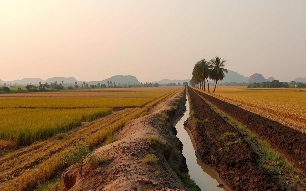
Two-crop paddy land on the Nagarjuna Sagar left canal, black cotton soils and a rice-mill economy about 150 km from Hyderabad. Indicative per-acre prices by canal reach, soil and water tests, and the title checks that matter.
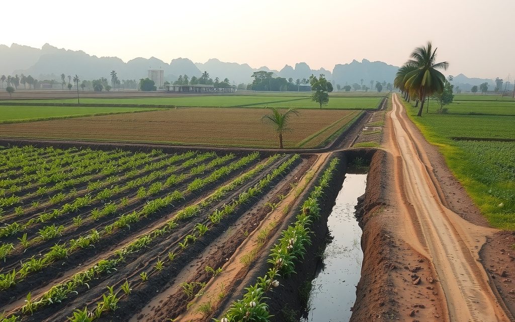
Black cotton fields, NSP canal paddy and sweet lime orchards around Nalgonda, about 100 km from Hyderabad via NH-65. Mandal guide, canal and fluoride realities, indicative per-acre prices and the title checks district land needs.
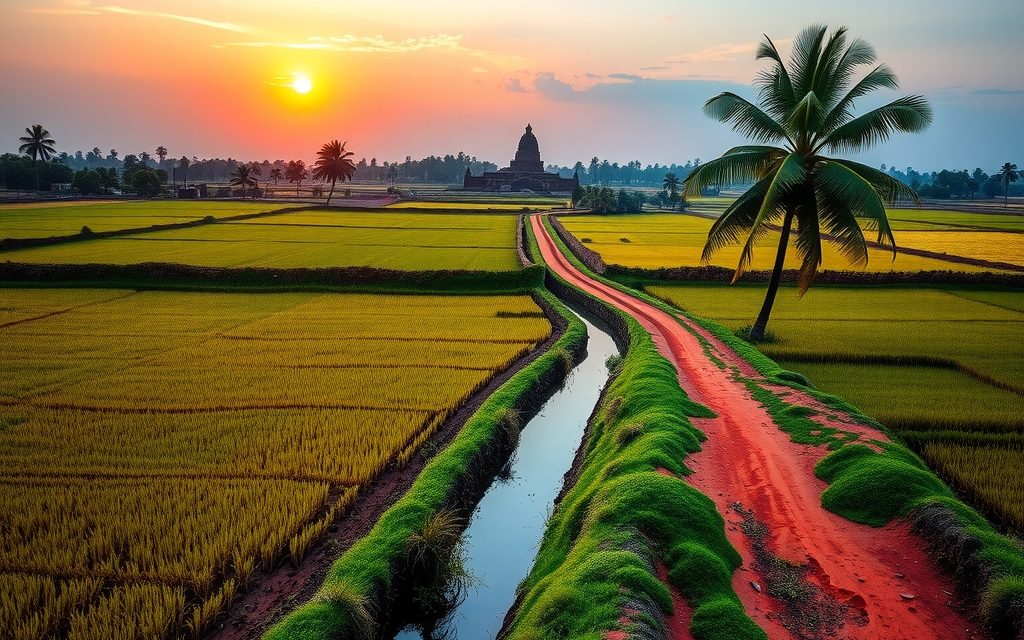
NRIs and OCIs cannot buy or receive gifts of agricultural land, plantations or farmhouses; inheritance is the only route. What inherited land allows, why benami workarounds are dangerous, and the lawful alternatives near Hyderabad.
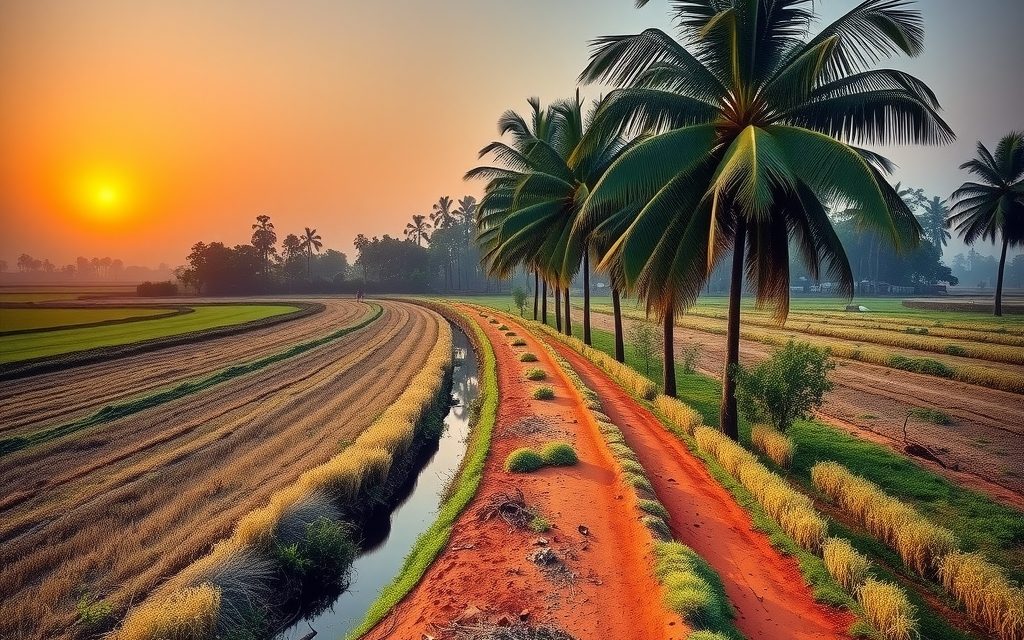
Farm land in Telangana registers at the Tahsildar office, with mutation in the same sitting, and title lives in the Bhu Bharati record of rights. Eligibility, ceiling limits, revenue checks, survey, costs and the passbook, step by step.
Red-soil farmland 4 km from the ORR beside the Aerospace SEZ and TCS campus. Interior villages still farm vegetables and mango; land near the SEZ is priced as future layout land and needs careful acquisition checks.