Agriculture & Farm Land in Tellapur, Hyderabad
The last agricultural parcels behind Tellapur's townships, toward Osman Nagar and the Kollur edge. Indicative per-acre bands, access and easement traps, tank buffers and Sangareddy-district registration.
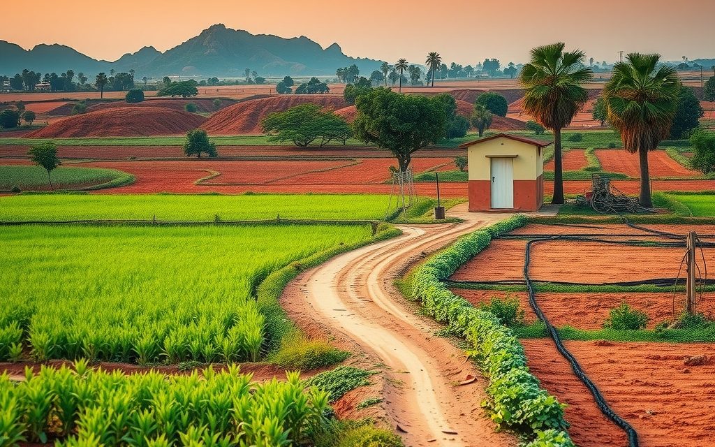
- Sangareddy district inside HMDA limits; Tellapur ORR interchange 3–5 km, 25–40 min to the Financial District
- Agricultural land at the jurisdictional mandal Tahsildar; converted land at a Sangareddy-district SRO, confirmed by survey number
- Agricultural bores commonly 500–1,100 ft; village tanks are protected, not irrigation sources
- Red loam over granite, heavier soil below the tanks; paddy, vegetables, fodder, some mango
- Remaining parcels mostly 20 guntas to 3 acres; legal road access decides value
| What | Indicative range | Note |
|---|---|---|
| Agricultural-record land zoned residential, behind the township belt | ₹14 Cr – ₹26 Cr per acre | indicative, Oct 2026; access-dependent |
| Agricultural land toward Osman Nagar | ₹10 Cr – ₹18 Cr per acre | indicative, Oct 2026 |
| Parcels on the Kollur edge | ₹8 Cr – ₹15 Cr per acre | indicative, Oct 2026 |
| Agricultural or conservation-zoned land, tank-side or low-lying | ₹5 Cr – ₹10 Cr per acre | indicative, Oct 2026; buffer-dependent |
| Small agricultural holdings sold in guntas | ₹45 L – ₹85 L per gunta | indicative, Oct 2026; verify mutation and building rights |
| For comparison: released HMDA layout plot | ₹45,000 – ₹65,000 per sq yd | indicative, Oct 2026 |
Ranges reflect recent transactions and advisor observation as of 2026-10. Always verify against the sub-registrar market value and the specific parcel.
Tellapur is where Hyderabad's western high-rise belt crosses the district line. Drive past Nallagandla and the University of Hyderabad's scrubland campus and you leave Rangareddy for Sangareddy district, yet the skyline does not change: large integrated townships, 30-storey towers and gated villa communities run almost continuously to the Outer Ring Road. Agriculture land in Tellapur still exists, but it has retreated into the gaps behind those townships, toward Osman Nagar and along the edge where Tellapur meets Kollur. This guide is about those last parcels: what they are, what they cost, and the specific checks that apply when your neighbours are a 2,000-flat township and an HMDA layout.
We cover location and access, soil and water, indicative per-acre and per-gunta ranges as of October 2026, the parcel types you will be offered, the problems unique to farm land boxed in by development, the full Telangana legal checklist, and registration through the mandal Tahsildar and the Sangareddy-district sub-registrar office with jurisdiction. Everything here comes from recent transactions and advisor observation, not from listing feeds.
Why look at agriculture land in Tellapur at all
Tellapur is one of the clearest examples in Hyderabad of what happens to farm villages on the right side of the ORR. Fifteen years ago it was a quiet village of paddy fields, village tanks and grazing land. HMDA layouts and auctions, the ORR interchange and the westward spread of the IT corridor turned it into one of the most active residential markets in the city. Land that sold by the acre now sells by the square yard.
That history is why buyers still ask about farm land here. A remaining agricultural parcel in Tellapur is, in most cases, development land in waiting. It is close to established townships, schools and roads, so its conversion value is real rather than speculative. The questions are whether a particular parcel can actually be converted, whether it has a usable approach, and whether the asking price already includes all the upside.
For a buyer who wants an affordable working farm, Tellapur is not the answer. The farm belt begins in earnest beyond Mokila and Shankarpally, and our page on agriculture land in Mokila is the better starting point for that brief.
Tellapur farm-land market at a glance, October 2026
- Remaining stock: thin. Most land within the village core and along the main roads has been developed, auctioned or committed to builders.
- Where parcels survive: behind the township belt, toward Osman Nagar and the village tanks, and on the Kollur and Velimela edges.
- Typical size: 20 guntas to 3 acres, with occasional larger family holdings that are almost always already in conversation with developers.
- Buyers: developers, land aggregators and well-funded investors; very few end users.
- Key risk: landlocked or easement-dependent parcels, lake and nala buffers, and assigned or government land mixed into older holdings.
Location, roads and the district line
Tellapur sits in Sangareddy district, inside the HMDA planning area, on the western side of the ORR. It was part of Patancheru mandal before the 2016 district reorganisation and is now administered with the Ramachandrapuram mandal belt; we confirm the exact mandal and revenue village from the survey number, because neighbouring villages such as Osman Nagar, Kollur and Velimela each have their own records.
The district line matters more than buyers expect. Revenue records, the Tahsildar, the sub-registrar office, the encumbrance certificate and the collector's office for any land-records correction all sit in the Sangareddy district system, not in Rangareddy where most of the IT corridor is administered. Buyers who have bought land in Kokapet or Narsingi sometimes assume the same offices handle Tellapur and lose days going to the wrong counter. Planning, by contrast, falls under HMDA, so the master plan that decides land use is the same metropolitan plan that governs the rest of western Hyderabad. Local-body status within the ORR has also been changing as the state restructures urban governance, so we confirm the current civic jurisdiction for each parcel.
Main approaches
- Tellapur ORR interchange: the fastest link to the Financial District and Gachibowli, typically 15 to 25 minutes outside peak hours.
- Nallagandla–Tellapur road: the main local artery from Gachibowli, Lingampally and Chandanagar, now lined with towers and villa projects.
- Osman Nagar road: runs south and west toward Osman Nagar and Kollur, through the area where most remaining farm parcels lie.
- Velimela and Muttangi side: links north toward Patancheru and the Mumbai highway, passing older farm holdings and industrial fringes.
| From central Tellapur to | Approx. distance | Typical drive |
|---|---|---|
| Tellapur ORR interchange | 3–5 km | 8–12 min |
| Gachibowli | 12–15 km | 25–40 min |
| Financial District | 15–18 km | 25–40 min |
| Lingampally railway station | 5–7 km | 15–20 min |
| Kollur interchange | 5–7 km | 12–18 min |
| Patancheru (NH-65) | 10–13 km | 20–30 min |
The University of Hyderabad campus to the east acts as a large green buffer and a barrier to through traffic, which is one reason Tellapur's road network feels tighter than its population suggests. The proposed Regional Ring Road runs far to the west and is not a meaningful factor for Tellapur land values.
Soil, water and farming in Tellapur today
Soil
Tellapur's soils are red loams over granite, with darker, heavier soil in the low ground below the village tanks where paddy was traditionally grown. The higher ground is thinner and rockier. Where farming continues, the best fields are those that historically received tank water and still have some depth of topsoil.
Water
Groundwater is under heavy pressure. The townships around Tellapur draw on their own bores and tanker supplies alongside municipal water, and agricultural bores in the remaining pockets commonly run 500 to 1,100 feet. Yields are unpredictable. Village tanks still hold water in good monsoon years, but they are protected water bodies, not private irrigation sources, and their buffers limit what can happen on adjoining land. Test every bore during your visit and ask the neighbours how it performs in summer.
What still grows
Remaining farms grow paddy in the tank-fed low ground, vegetables and leafy greens for nearby markets, fodder for small dairies, and some mango and guava. Many parcels are no longer actively cultivated; they are fenced, held and occasionally leased for grazing while the owner waits for a development offer. If cultivation history matters to you, check the pahani entries for recent years.
Behind the townships: where Tellapur's last farm parcels are
The remaining agricultural land in Tellapur falls into a few recognisable situations, each with its own logic.
Pockets enclosed by development
These are parcels of one to three acres surrounded on two or three sides by townships or HMDA layouts. They often have excellent location and poor access, reached by a narrow cart track or an easement through a neighbour's land. Their value depends entirely on whether they can secure a legal approach road of adequate width. A parcel with a 40-foot master plan road on its boundary is a development site; the same parcel with only a cart track can be very hard to sell.
Lake-side and low-lying parcels
Land around the village tanks and their feeder channels is where farming has lasted longest, partly because much of it is in or near the full tank level and buffer, where development is restricted. These parcels are cheaper for a reason. Before buying, overlay the tank's FTL and buffer on the survey map and assume that any land inside them will never carry a building.
The Osman Nagar side
South-west of the village core, toward Osman Nagar, holdings are larger and the landscape still looks agricultural in places. This is where most genuine farm parcels in the Tellapur orbit are found today. Prices are lower than in the core but rising as roads improve.
The Kollur edge
Where Tellapur meets Kollur, the farm land merges into the belt we describe on our page on agriculture land in Kollur. Buyers often compare parcels on both sides of the village boundary on the same visit, and the price gap can be meaningful even a short distance apart because of road access and zoning.
Indicative price ranges for agriculture land in Tellapur
These ranges are indicative, drawn from recent transactions and advisor observation as of October 2026. They are not quotes, and an individual parcel can sit well outside them depending on zoning, access, buffers and title.
| Parcel type | Indicative range | Main price drivers |
|---|---|---|
| Agricultural-record land zoned residential, behind the township belt | ₹14 Cr – ₹26 Cr per acre | Legal approach road width, shape, distance from the interchange |
| Agricultural land toward Osman Nagar | ₹10 Cr – ₹18 Cr per acre | Road improvement, zoning, holding size |
| Parcels on the Kollur edge | ₹8 Cr – ₹15 Cr per acre | Village boundary, interchange distance, access |
| Agricultural or conservation-zoned land, tank-side or low-lying | ₹5 Cr – ₹10 Cr per acre | FTL and buffer extent, usable area |
| Small agricultural holdings sold in guntas | ₹45 L – ₹85 L per gunta | Mutation path, building rights, layout status |
| For comparison: released HMDA layout plot | ₹45,000 – ₹65,000 per sq yd | Road width, layout quality |
At ₹60 lakh a gunta, a small agricultural holding works out to about ₹50,000 per square yard, comparable with a released HMDA plot. If you are buying to build a home, an approved plot gives you that certainty at a similar price, and our page on open plots in Tellapur sets out the current bands.
Types of agricultural parcels you will be offered
- Whole patta holdings: one to three acres in a single survey number or sub-division, the cleanest product when title and access are good.
- Undivided family shares: a share in a larger family holding that has not been formally partitioned. These need a registered partition or all co-owners joining the sale.
- Partly converted parcels: land where a portion has NALA conversion and the rest is still agricultural; confirm which portion is which on the ground.
- Remainder strips: narrow or irregular pieces left after road widening or neighbouring development, often cheap but hard to use.
- Gunta-sized "farm plots": sub-divided agricultural holdings marketed as plots; inside HMDA limits these can be treated as unauthorised layouts and need careful checking.
Holding costs, income and exit options in Tellapur
Agricultural land in Tellapur earns almost nothing while you hold it. Leasing for grazing or seasonal vegetables may cover fencing repairs and a watchman's wage, but it will not produce a meaningful return. The investment case rests on appreciation and eventual conversion, so it is worth thinking about holding costs and exit routes before you buy.
- Protection: fencing, a watchman or regular visits, and boundary stones checked every year. Enclosed parcels near busy construction sites attract encroachment and dumping of debris.
- Records: keep the passbook and Bhu Bharati record current, and act quickly on any discrepancy. Errors in land records are far easier to correct while they are fresh.
- Exit by sale: the realistic buyers are developers and aggregators. Large tickets can take months to close, and buyers will run the same checks you ran, so a clean file sells faster.
- Exit by joint development: a common route for one to three acre parcels in Tellapur. The owner's share and the builder's credibility matter more than the headline numbers.
- Exit by conversion and layout: converting and developing an HMDA layout yourself is possible on larger holdings but requires approvals, infrastructure spending, RERA registration where applicable and considerable time.
Whichever route you expect to take, build in transaction costs of roughly 7.5% on purchase plus professional fees, and capital gains tax on sale. A CA can model the after-tax outcome for your situation.
Living next to a township: access, easements and drainage
Farm land enclosed by large developments raises practical problems that rarely come up in open countryside.
- Access: confirm a legal right of way to a public road, not just a path the neighbours tolerate. Check the master plan road network for proposed roads touching the parcel.
- Easements: if access depends on crossing someone else's land, the easement must be documented and registered. Undocumented access disappears the day the neighbour builds a wall.
- Drainage: large townships change how storm water moves. Low parcels next to them can flood in heavy rain. Walk the land after a downpour if you can.
- Water table: deep bores in adjoining developments can draw down your groundwater within a few seasons.
- Road widening: master plan roads can cut into frontage; read the road development plan before you value a frontage parcel.
None of these is a reason not to buy. Each is a reason to price the parcel correctly and to resolve the issue in the sale agreement before registration.
Worked example: a landlocked acre behind a Tellapur township
Here is a hypothetical case of the kind we see regularly. A family offers 1 acre 10 guntas of patta land behind a large township, recorded as agricultural, zoned residential in the master plan, with an old borewell and no current cultivation. The only access is a 12-foot cart track across a neighbour's field. The asking price is ₹22 crore per acre, justified by the township next door and the plot rates in the adjoining HMDA layout.
Step one is the road. Without a legal approach of adequate width, no developer can obtain building permission for a meaningful project, so the parcel cannot realise its residential zoning. We check the master plan road network. If a proposed 40-foot or wider road is shown along the boundary, the question becomes when it will be formed, and whether the land needed for it has been acquired or surrendered. If no road is proposed, the buyer must negotiate a registered right of way with a neighbour, which has its own cost and may not be available at any price.
Step two is value with and without access. With a formed master plan road on the boundary, the parcel might reasonably sit in the ₹14 crore to ₹26 crore band for land behind the township belt. Without it, the realistic buyer pool shrinks to neighbours and patient aggregators, and the price can fall well below the band. A sensible offer reflects that gap, perhaps with a staged structure: a lower price now and an agreed top-up if the road is formed within a set period.
Step three is title. A family holding usually means several co-owners and succession entries. We confirm that every legal heir is joining the sale or has relinquished their share by registered deed, and that the Bhu Bharati record reflects the current owners. A missing signature is the most common reason Tellapur deals stall at the registration table.
The lesson is that in Tellapur the same acre can be worth very different amounts depending on facts that are invisible from the site itself. Buyers who pay the township-adjacent price for a landlocked parcel often wait years for their road.
Legal checklist for Telangana agriculture land, Tellapur edition
- Pattadar passbook in the seller's name, with survey number, sub-division and extent matching the deed.
- Record of rights online: verify on dharani.telangana.gov.in, now linked to Bhu Bharati, for status and any prohibited flag.
- 1B and pahani for previous years to confirm ownership and cultivation.
- 30-year encumbrance certificate from the Sangareddy-district SRO with jurisdiction.
- Link documents through every sale, partition and succession, back to the original holder.
- Survey number, FMB sketch and fresh survey by a licensed surveyor, with boundary stones located on the ground.
- NALA status and the exact converted extent, if any.
- Section 22-A prohibited properties: Tellapur and its neighbours include government land, some of which has been auctioned or allotted; make sure your parcel is not among the prohibited categories.
- Assigned land caution: land assigned to landless families cannot be sold, whatever the chain of informal transfers suggests.
- 58/59 regularisation conditions, if any link in the chain was regularised.
- Ceiling, ULC and forest checks.
- Master plan land use, tank FTL and buffer, nala alignment and road-widening lines.
Registration and charges for Tellapur farm land
Land recorded as agricultural registers at the mandal Tahsildar office with jurisdiction, where the Tahsildar acts as joint sub-registrar and mutation is done in the same sitting. For Tellapur that is the Tahsildar of the mandal covering the revenue village, which we confirm from the survey number. Converted land and plots register at the Sangareddy-district SRO with jurisdiction, typically an office in the Ramachandrapuram and Patancheru area.
| Charge | Approximate rate | Notes |
|---|---|---|
| Stamp duty | ~5.5% | On market value or consideration, whichever is higher |
| Transfer duty | ~1.5% | Paid with stamp duty |
| Registration fee | ~0.5% | Confirmed on the day |
| Indicative total | ~7.5% | Plus legal, survey and advisory fees |
Rates change, so verify them on registration.telangana.gov.in or at the office on the day. On tax: Section 194-IA's 1% TDS does not apply to rural agricultural land, but Tellapur is an urbanised municipal area, and agricultural land within municipal limits is generally not rural agricultural land for income-tax purposes. Assume 1% TDS applies above ₹50 lakh unless your CA advises otherwise.
Who Tellapur farm land suits, and who it does not
Suits
- Developers and investors buying zoned land with a clear legal approach road.
- Landowning families seeking an independent valuation before selling or entering a joint development.
- Buyers with a five to ten year horizon who understand they are buying development land rather than a farm.
Does not suit
- Anyone wanting a weekend farm or orchard; the land is too expensive and too enclosed.
- Buyers who need bank finance for the land itself.
- End users wanting a home soon; a finished property is simpler, and our pages on villas in Tellapur and apartments in Tellapur cover those options.
The NRI position on Tellapur agricultural land
Under FEMA, NRIs and OCI cardholders cannot purchase agricultural land, plantation property or farmhouses in India, and cannot receive them as a gift. They can inherit agricultural land and may sell inherited farm land only to a resident Indian. Several NRI families hold ancestral land in Tellapur and its neighbouring villages, and the work we do for them usually involves mutation after inheritance, valuation and managing a sale or joint development from abroad.
NRIs who want to invest in Tellapur directly can buy approved plots, villas and apartments using NRE or NRO funds. Our guide to NRI rules on agricultural land in Telangana explains inheritance and sale, and a CA should advise on tax and repatriation.
How NRR Estates handles Tellapur land purchases
- Survey-number screening for zoning, FTL, buffers, road lines and prohibited lists before you visit.
- Access verification: we confirm the legal approach and document any easement before you commit.
- Title work through passbook, Bhu Bharati, 1B, pahani, EC, link documents and FMB, with an advocate's opinion.
- Negotiation grounded in recent comparable transactions, including how access and buffers should discount the price.
- Registration and mutation at the correct Tahsildar or SRO, followed through until records show your name.
Fees are agreed in writing before any commitment. If Tellapur's prices outrun your plan, the farm belt further west around farm land in Shankarpally offers real acreage at a fraction of the cost.
Tellapur agriculture land: your questions answered
Is there any agriculture land left in Tellapur?
A little. Most of the village core and the main-road frontage has been developed, auctioned or committed to builders. Remaining agricultural parcels sit behind the township belt, around the village tanks and low-lying ground, toward Osman Nagar, and on the Kollur and Velimela edges. Typical sizes are 20 guntas to 3 acres. Most are held by long-time families and change hands through developers, aggregators and advisors rather than public listings, so it helps to know exactly what you are looking for before you start.
What is the price of agricultural land in Tellapur per acre?
As of October 2026, land recorded as agricultural but zoned residential behind the township belt typically ranges from ₹14 crore to ₹26 crore per acre, land toward Osman Nagar around ₹10 crore to ₹18 crore, and parcels on the Kollur edge around ₹8 crore to ₹15 crore. Tank-side or conservation-zoned land is cheaper, roughly ₹5 crore to ₹10 crore. These are indicative ranges from recent transactions and advisor observation, not quotes. Legal access, buffers and title can move a parcel well outside them.
Why does road access matter so much for Tellapur farm land?
Because most remaining parcels are enclosed by townships and layouts, and a parcel without a legal approach road of adequate width cannot obtain building permission for a meaningful project. That means it cannot realise its residential zoning, and its buyer pool shrinks to neighbours and patient investors. Before paying a township-adjacent price, check whether a master plan road touches the boundary, whether it has actually been formed, and whether any access across a neighbour's land is documented by a registered easement.
Which district and offices handle Tellapur land?
Tellapur is in Sangareddy district, not Rangareddy, although it sits inside the HMDA planning area. Revenue records, the Tahsildar, the encumbrance certificate and the sub-registrar office are all in the Sangareddy system. Agricultural land registers at the jurisdictional mandal Tahsildar, who acts as joint sub-registrar with mutation in the same step. Converted land and plots register at a Sangareddy-district SRO, typically in the Ramachandrapuram and Patancheru area. We confirm both offices from the survey number before booking a slot.
What are the registration charges for agriculture land in Tellapur?
Approximately 5.5% stamp duty, 1.5% transfer duty and 0.5% registration fee, about 7.5% of the market value or consideration, whichever is higher. Advocate, surveyor and advisory fees are additional. Rates and procedures change, so we verify them on the day of registration. Note that Tellapur is an urbanised municipal area: agricultural land within municipal limits is generally not rural agricultural land for income tax, so the 1% TDS under Section 194-IA usually applies above ₹50 lakh. Your CA should confirm.
Can I farm land in Tellapur profitably?
Not in the usual sense. Groundwater is under heavy pressure from surrounding developments, agricultural bores commonly run 500 to 1,100 feet, and the land is priced as development land, so crop income will be a tiny fraction of the capital tied up. Some owners lease for grazing or seasonal vegetables to keep the land in use and cover upkeep. If you want a productive farm, the belt beyond Mokila and Shankarpally offers real acreage, better water prospects and far lower prices per acre.
Can NRIs buy agricultural land in Tellapur?
No. Under FEMA, NRIs and OCI cardholders cannot purchase agricultural land, plantation property or farmhouses in India and cannot receive them as a gift. They can inherit agricultural land and may sell inherited farm land only to a resident Indian. For NRI families holding ancestral land in Tellapur, we help with mutation after inheritance, valuation, and managing a sale or joint development from abroad. NRIs can buy approved plots, villas and apartments in Tellapur through NRE or NRO funds.
Should I buy agricultural land or an approved plot in Tellapur?
If you want to build a home, buy an approved plot. Small agricultural holdings in Tellapur often cost about the same per square yard as a released HMDA plot, without the certainty of layout approval, building permission and a formed road. Agricultural land makes sense for investors and developers who can hold for five to ten years, who have verified zoning and access, and who are prepared to manage conversion or a joint development. For most end users, the approved plot is the simpler and safer route.
Related guides
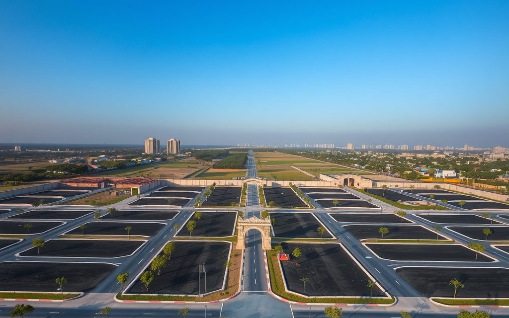
Tellapur blends ORR access, finished social infrastructure and a wide choice of HMDA layouts. Indicative plot rates by pocket and road width, legal checks, and whether a plot beats a villa or flat.
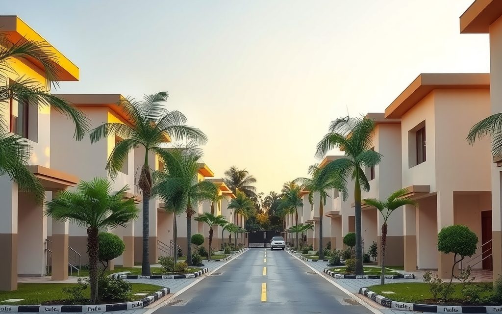
Tellapur is west Hyderabad's busiest villa belt: township-scale gated communities, row and independent villas from about ₹2.2 crore, Meru International School nearby and a 25–40 minute run to Gachibowli.
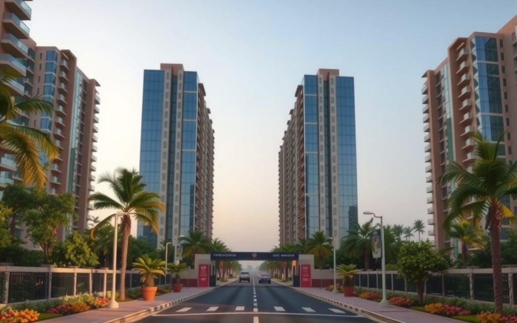
Tellapur is west Hyderabad's busiest apartment belt: townships and high-rises on the ORR at 25–40% below Gachibowli. Indicative per-sq-ft bands, BHK budgets, phase tips, RERA checks and rents.
Little genuine farmland remains near Kollur's ORR interchange. What is left towards Velimela, Isnapur and Patelguda trades as development land. Indicative per-acre bands, NALA conversion economics and why an approved plot is often the honest answer.
Red-soil patta land and orchards 8 km past the Kollur ORR exit, priced as a land bank on Hyderabad's western IT corridor. Indicative per-acre bands, water, zoning and the full legal checklist.
Mandal-town farm land 18 km past the ORR with a railway station, red soil and village tanks. More acres per rupee than Mokila, still within an hour of Gachibowli.

NRIs and OCIs cannot buy or receive gifts of agricultural land, plantations or farmhouses; inheritance is the only route. What inherited land allows, why benami workarounds are dangerous, and the lawful alternatives near Hyderabad.
Red-soil farmland 4 km from the ORR beside the Aerospace SEZ and TCS campus. Interior villages still farm vegetables and mango; land near the SEZ is priced as future layout land and needs careful acquisition checks.