Agriculture & Farm Land in Shamshabad, Hyderabad
Working farmland, orchards and highway acreage around RGIA in Rangareddy district. Indicative per-acre bands by sector, why airport height limits matter only when you convert, GO 111 history and registration.
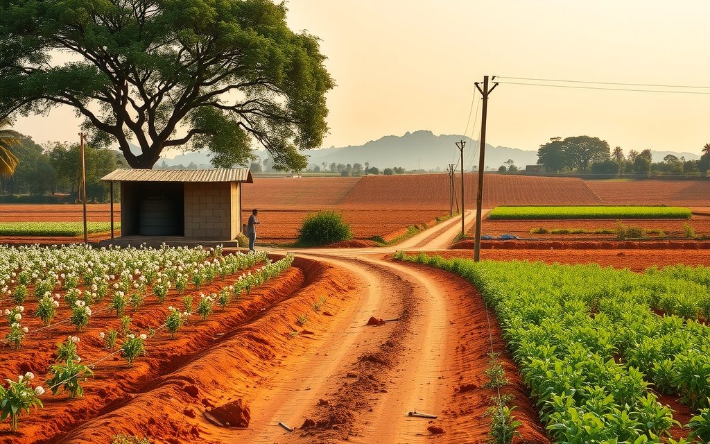
- Shamshabad town 6–10 km from the RGIA terminal; ORR, NH-44, Srisailam highway and PVNR Expressway meet here
- Agricultural land registers at the Shamshabad Tahsildar; converted land and plots at the Shamshabad SRO
- Borewells typically 400–900 ft; Himayat Sagar is protected, not an irrigation source
- Red sandy and gravelly loam with heavier soil below tanks; paddy, vegetables, mango, guava, sapota
- Interior parcels 1–5 acres; 10-acre-plus blocks toward the south and east
| What | Indicative range | Note |
|---|---|---|
| Interior patta land, villages east and south of the airport | ₹2 Cr – ₹5 Cr per acre | indicative, Oct 2026 |
| Former GO 111 villages, Himayat Sagar side | ₹3 Cr – ₹8 Cr per acre | indicative, Oct 2026; zoning-dependent |
| Near ORR interchanges and town edges, residential zoning | ₹8 Cr – ₹15 Cr per acre | indicative, Oct 2026; height-limit dependent |
| Frontage on NH-44 or the Srisailam highway | ₹10 Cr – ₹25 Cr per acre | indicative, Oct 2026 |
| Outer villages toward Kothur and the southern edge | ₹1.8 Cr – ₹4 Cr per acre | indicative, Oct 2026 |
| Farm plots in gated farm ventures | ₹10 L – ₹25 L per gunta | indicative, Oct 2026; check title structure |
Ranges reflect recent transactions and advisor observation as of 2026-10. Always verify against the sub-registrar market value and the specific parcel.
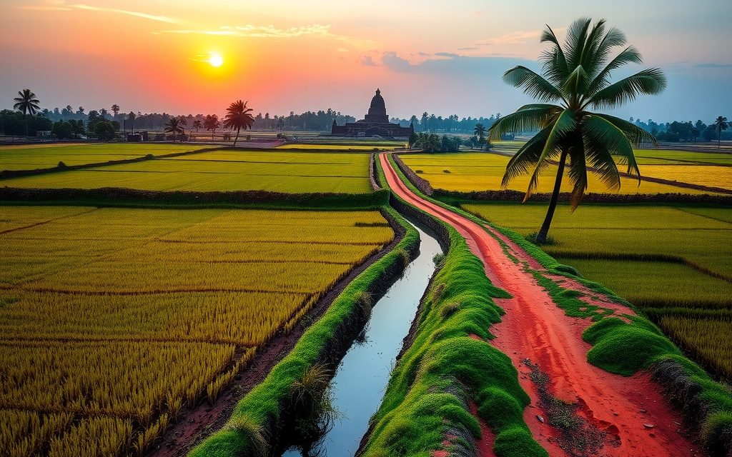
Shamshabad is where Hyderabad's international airport meets the Deccan countryside. Rajiv Gandhi International Airport sits on land that was fields and grazing ground until the mid-2000s, and the mandal around it, in Rangareddy district, still holds a surprising amount of working farmland: paddy below village tanks, vegetable plots supplying the city, mango and guava orchards and red-soil fields stretching south along the Bengaluru highway. Agriculture land in Shamshabad attracts three kinds of buyers: investors betting on airport-led growth, families wanting a farm within 30 minutes of the terminal, and logistics and warehousing players looking for land they may one day convert. Each needs a different checklist, and two issues unique to this belt shape all of them: airport height restrictions and the legacy of GO 111 on the Himayat Sagar side.
This guide explains both, along with access, soil and water, indicative per-acre and per-gunta ranges as of October 2026, the parcel types you will find, the full Telangana legal checklist, and registration through the Shamshabad Tahsildar and the Shamshabad sub-registrar office. All figures come from recent transactions and advisor observation, not portal listings.
Why buyers look at agriculture land in Shamshabad
The airport is the obvious draw. RGIA has grown steadily since it opened, and the area around it now includes the airport city, cargo and logistics facilities, hotels, an entertainment and convention cluster and a growing ring of HMDA layouts. Land values near the airport and along the highways have risen accordingly, and agricultural land a few kilometres away is priced partly on the expectation that the airport economy will keep spreading outward.
The second draw is connectivity. Shamshabad sits where the ORR, NH-44 to Bengaluru, the Srisailam highway and the PVNR Expressway from Mehdipatnam meet. Few farm belts around Hyderabad are as easy to reach from so many directions, which matters to buyers in the old city, Gachibowli, LB Nagar and the southern suburbs alike.
The third draw is relative value. Compared with the western corridor, agricultural land around Shamshabad is still priced in single-digit crores per acre in most villages, and in some outer pockets well below that. For buyers who want genuine acreage close to the city, that makes the southern belt worth a serious look alongside agriculture land in Maheshwaram and the Moinabad farmhouse country to the west.
Shamshabad farm land at a glance, October 2026
- Who buys: investors, airport-economy businesses, families from the southern and western suburbs, and land aggregators for logistics and warehousing.
- Typical parcel: 1 to 5 acres in the interior villages; larger blocks of 10 acres or more still appear toward the south and east.
- Supply: reasonable in the interior and outer villages, thin near the airport boundary and along highway frontage.
- Price direction: steady to firm, with the strongest interest near the ORR interchanges and highway corridors.
- Key risks: GO 111 legacy zoning on the west, airport-related government and acquired land, height restrictions on conversion, and lake buffers.
Getting there: highways, the ORR and the airport
Shamshabad town lies on NH-44 about 6 to 10 km from the airport terminal. The mandal spreads in every direction from there, and the access route depends on which side of the airport your parcel sits.
Key routes
- ORR: the Shamshabad and Pedda Golconda interchanges serve the town and the airport side; from Gachibowli the ORR run is typically 30 to 40 minutes.
- NH-44 (Bengaluru highway): runs south through Shamshabad toward Kothur and Shadnagar, lined with warehouses, factories and plotted ventures.
- PVNR Expressway: the elevated road from Mehdipatnam to Aramghar, then on toward the airport, the quickest link from central Hyderabad.
- Srisailam highway: heads south-east from the airport side toward Tukkuguda and Kandukur, serving the eastern villages.
| From Shamshabad town to | Approx. distance | Typical drive |
|---|---|---|
| RGIA terminal | 6–10 km | 12–20 min |
| Gachibowli / Financial District (via ORR) | 28–35 km | 30–45 min |
| Mehdipatnam (via PVNR Expressway) | 20–24 km | 30–45 min |
| Tukkuguda ORR interchange | 12–15 km | 20–25 min |
| Kothur | 15–18 km | 20–30 min |
| Himayat Sagar (lakefront) | 10–14 km | 20–30 min |
Plans for a metro link to the airport have been revised more than once; treat any rail connection as a future possibility rather than a reason to pay a premium today. The proposed Regional Ring Road runs well to the south and is a factor for land toward Shadnagar rather than Shamshabad itself.
Soil, water and what grows around the airport
Soil
The mandal is mostly red sandy and gravelly loam over granite, with deeper and heavier soils in the low ground below village tanks and along seasonal streams. Some fields carry patches of darker soil that hold moisture better. Rock outcrops and boulders are common on higher ground, and topsoil depth changes quickly, so test pits are worthwhile before you commit to an orchard.
Water
Himayat Sagar, on the north-western edge of the mandal, is a protected reservoir, not a source of private irrigation. Farms depend on borewells, open wells and village tanks. Bore depths in the interior villages typically range from 400 to 900 feet, deeper near the town and the airport where construction has drawn down groundwater, and shallower in a few tank-fed pockets after good monsoons. Yields vary widely between neighbouring fields, so test every bore for at least 30 minutes and ask neighbours about summer performance.
Crops and orchards
Paddy grows in the tank-fed low ground; vegetables, leafy greens and flowers supply the city's markets; maize, jowar and fodder occupy the drier fields; and mango, guava and sapota orchards are common, with custard apple on thinner soils. The airport's proximity has also encouraged nurseries and landscaping farms serving the hotels, campuses and layouts nearby.
Airport height limits: irrelevant to the plough, decisive for conversion
For a farmer, the airport changes very little. Crops, orchards, borewells and farm sheds do not need aviation clearance. For anyone who plans to convert agricultural land and build, the airport changes a great deal.
Under the civil aviation height restriction rules, structures within a defined radius of an airport, and especially in the approach and take-off funnels beyond the runway ends, need a height clearance before construction. The Airports Authority of India issues these through its online No Objection Certificate system, using colour-coded zoning maps that show the maximum permissible height at each location. Near the runway ends the permissible height can be very low; further away it increases.
What this means in practice:
- Development potential is location-specific. Two parcels the same distance from the terminal can have very different height limits depending on whether they sit under a flight path.
- Value follows height. A residentially zoned parcel where only low-rise buildings are permitted is worth less to a developer than one where high-rise is possible, and agricultural land is priced off what can eventually be built.
- Warehousing and logistics are often the best fit. Low, wide buildings suit height-restricted zones, which is one reason logistics players buy land around the airport.
- Noise and bird-hazard rules matter too. Land under the approach paths experiences aircraft noise, and activities that attract birds, such as open waste dumping or slaughter, are restricted near airports. If you plan a poultry, dairy or meat-processing unit, check the restrictions before buying.
We check the colour-coded zoning map for every parcel a client intends to convert, and we treat the permissible height as a primary input to valuation, not an afterthought.
GO 111 history on the Himayat Sagar side
Villages in the west and north-west of Shamshabad mandal fall within the catchment area of Himayat Sagar that was covered by GO 111 from 1996. For more than 25 years, that order restricted most built development in these villages and kept land in agricultural and conservation use. It is why the western part of the mandal still looks rural while the airport side has urbanised.
The state withdrew GO 111 in 2022 and said new regulations would protect the reservoirs through other means. As on the Osman Sagar side, the withdrawal did not rezone every parcel for housing. Land use is still governed by the HMDA master plan, by regulations framed after the withdrawal, by reservoir FTL and buffer rules, and by the outcome of legal challenges. Our page on farm land in Moinabad covers the same catchment from its western side.
For buyers this creates a two-tier market. Former GO 111 villages offer large, green, genuinely agricultural parcels at prices that can look attractive next to the airport side. Their conversion prospects, however, depend on regulations still being worked out. Buy them for what they are today, with conversion as a possible bonus, not as a certainty already priced in.
Sector by sector: reading the Shamshabad farm belt
Shamshabad mandal is large, and land behaves very differently depending on which side of the airport and the highway it sits. We find it useful to think in four sectors.
North-west: the Himayat Sagar catchment
Villages toward Himayat Sagar, including the Kothwalguda side, carry the GO 111 legacy. The landscape is greener, holdings are larger and farmhouse estates are common. This sector suits weekend farms and orchards, with conversion treated as uncertain. Reservoir FTL and buffer checks are essential for any parcel near the water or its feeder streams.
North and north-east: the ORR and town edges
Around the Pedda Golconda and Shamshabad interchanges and the edges of the town, agricultural land is increasingly zoned for residential or commercial use, HMDA layouts are spreading, and prices reflect development potential. Height limits from the airport vary across this sector and must be checked parcel by parcel.
South along NH-44
The Bengaluru highway corridor toward Kothur carries warehousing, factories and plotted ventures on the frontage, with genuine farmland a kilometre or two behind. This is the logistics buyer's sector. Frontage commands a large premium; interior land behind it is priced much closer to agricultural value. Buyers comparing this belt should also see our page on open plots in Kothur further down the highway.
East and south-east: the airport's far side
Beyond the airport toward the Srisailam highway, villages remain largely agricultural, with the airport boundary, acquired land and approach funnels shaping what is possible. Interior parcels here are among the more affordable in the mandal, and they suit farming and long-term holding, provided acquisition records and height zones are checked.
Indicative price ranges for agriculture land in Shamshabad
These ranges are indicative, based on recent transactions and advisor observation as of October 2026. They are not quotes. Zoning, height limits, approach roads, frontage, water and title can move individual parcels well outside these bands.
| Parcel type | Indicative range | Key value drivers |
|---|---|---|
| Interior patta land, villages east and south of the airport | ₹2 Cr – ₹5 Cr per acre | Approach road, distance from the ORR, water |
| Former GO 111 villages, Himayat Sagar side | ₹3 Cr – ₹8 Cr per acre | Zoning, reservoir buffer, conversion prospects |
| Land near ORR interchanges and the town edges, residential zoning | ₹8 Cr – ₹15 Cr per acre | Height limit, road width, zoning |
| Frontage on NH-44 or the Srisailam highway | ₹10 Cr – ₹25 Cr per acre | Frontage length, service road, commercial potential |
| Outer villages toward Kothur and the southern edge | ₹1.8 Cr – ₹4 Cr per acre | Road access, holding size |
| Farm plots in gated farm ventures | ₹10 L – ₹25 L per gunta | Title structure, layout status, amenities |
For comparison, HMDA layout plots in and around Shamshabad indicatively trade between roughly ₹14,000 and ₹48,000 per square yard depending on the pocket. If you want to build a home soon, an approved plot gives you certainty that agricultural land does not; our page on open plots in Shamshabad covers the current bands.
Kinds of farm parcels on the Shamshabad market
- Working patta farms: 1 to 5 acres with a borewell and crops or an orchard, mostly in the interior villages. The cleanest product when title is good.
- Large family blocks: 10 acres or more, usually toward the south and east, often held by several co-owners and favoured by logistics and warehousing buyers.
- Catchment-village acreage: green, larger parcels in former GO 111 villages, attractive for weekend farms and orchards but with conversion still uncertain.
- Highway frontage: parcels on NH-44 or the Srisailam highway, priced for commercial potential rather than agriculture.
- Gated farm ventures: developer-sold farm plots of a few guntas, marketed with plantations and caretaker services. Inside the HMDA area these need careful checking of title structure, layout status and mutation.
Running a working farm near the airport
Buyers who want a productive farm rather than a pure land bank can do well around Shamshabad, provided they plan for the practicalities.
- Water first: invest in drip irrigation, recharge pits and, where possible, a farm pond. Bore yields here can fall sharply in a dry year.
- Power: confirm the agricultural power connection is transferable and ask how many hours of supply the feeder delivers in practice.
- Caretaker: most successful weekend farms have a resident caretaker family with a small house on the land; agree terms in writing.
- Crop choice: mango, guava and sapota are proven; nurseries and landscaping plants have a ready market among the hotels, campuses and layouts nearby.
- Fencing and boundaries: chain-link or stone fencing with boundary stones checked every year protects against encroachment, which is common near fast-growing towns.
- Records: keep the passbook and Bhu Bharati record current and keep the land in genuine agricultural use; it matters for your records and, in some cases, for tax.
A well-run orchard will not pay a meaningful return on land priced in crores, but it keeps the land productive, protected and in good order while its value develops.
Airport acquisitions and government land: check before you pay
Large areas around Shamshabad were acquired for the airport and its related infrastructure, and the mandal also includes government and assigned land. Over the years, some acquired or assigned land has been informally traded as if it were private patta land. A buyer who purchases such land can lose it entirely.
For every parcel we check the land acquisition records for the village, the Section 22-A prohibited properties list, government and assigned land registers, and the parcel's status in the Bhu Bharati record. Where a parcel adjoins the airport boundary or a highway, we also confirm whether any further acquisition has been notified for road widening, expansion or utilities. These checks take time, but they prevent the most catastrophic losses in this belt.
Legal checklist for agriculture land in Telangana, applied to Shamshabad
- Pattadar passbook in the seller's name, matching survey number, sub-division and extent.
- Bhu Bharati record of rights: verify on dharani.telangana.gov.in, now linked to Bhu Bharati, for status and any prohibited flag.
- 1B and pahani entries for past years.
- 30-year encumbrance certificate from the Shamshabad SRO.
- Link documents back to the original holder, including partitions and succession papers.
- Survey number, FMB sketch and fresh survey by a licensed surveyor.
- NALA status and converted extent.
- Section 22-A prohibited properties and land acquisition records for the airport and highways.
- Assigned land caution: assigned land cannot be sold, whatever informal transfers suggest.
- 58/59 regularisation conditions, if any link in the chain was regularised.
- Ceiling, ULC and forest checks.
- Master plan land use, Himayat Sagar FTL and buffer, village tank buffers and nala alignments.
- Airport height zone from the colour-coded zoning map, if you plan to convert.
Registration at Shamshabad: Tahsildar, SRO and charges
Unconverted agricultural land in Shamshabad mandal registers at the Shamshabad Tahsildar office, where the Tahsildar acts as joint sub-registrar and mutation is completed in the same step. NALA-converted land, plots and built property register at the Shamshabad SRO. A few outlying villages may fall under a neighbouring mandal or office, which we confirm from the survey number before booking a slot.
| Charge | Approximate rate | Comment |
|---|---|---|
| Stamp duty | ~5.5% | On the higher of market value or consideration |
| Transfer duty | ~1.5% | Collected with stamp duty |
| Registration fee | ~0.5% | Confirmed on the day |
| Indicative total | ~7.5% | Plus advocate, surveyor and advisory fees |
Verify current rates at the office or on registration.telangana.gov.in. On tax: Section 194-IA's 1% TDS does not apply to rural agricultural land. Whether a Shamshabad parcel counts as rural depends on its distance from municipal limits; land in or near Shamshabad town generally will not, while some outer villages may. Ask your CA to confirm for the specific parcel.
Who should buy farm land near Shamshabad, and who should not
Good fit
- Long-term land bankers betting on the airport economy, with a 7 to 12 year horizon and verified zoning and height limits.
- Weekend farm buyers who want acreage 30 to 45 minutes from the city and the airport, especially in the greener catchment villages.
- Logistics and warehousing investors who understand conversion, height limits and highway access.
- Orchard investors who can manage water and a caretaker.
Poor fit
- Short-term flippers expecting an immediate airport-led jump.
- Buyers who need bank finance for agricultural land.
- Anyone wanting a high-rise development site under a flight path.
- End users who want a home soon; our page on villas in Shamshabad covers ready options near the airport.
NRI guidance for Shamshabad agricultural land
Under FEMA, NRIs and OCI cardholders cannot purchase agricultural land, plantation property or farmhouses in India, and cannot receive them as a gift. They can inherit agricultural land, and they may sell inherited farm land only to a resident Indian. Families with members abroad who hold inherited acreage around Shamshabad often need help with succession mutation and selling from overseas, and we handle both.
NRIs who want exposure to the airport corridor can buy approved non-agricultural plots, villas and apartments using NRE or NRO funds. Our guide to NRI agriculture land rules in Telangana explains inheritance and sale, and a CA should advise on tax and repatriation.
How NRR Estates helps with Shamshabad farm land
- Screening by survey number for zoning, GO 111 legacy, acquisition records, prohibited lists, buffers and airport height zone.
- Site visits covering boundaries, borewell tests, approach roads and flight-path exposure.
- Document verification of passbook, Bhu Bharati, 1B, pahani, 30-year EC, link documents and FMB, with an advocate's title opinion.
- Negotiation grounded in recent transactions and in what the land can actually become.
- Registration and mutation at the Shamshabad Tahsildar or SRO, followed through until the records are in your name.
We disclose our fees in writing before any commitment. Buyers comparing approved plots on the airport's eastern side should also look at open plots in Tukkuguda, which sit between the airport and the Adibatla aerospace cluster.
Shamshabad agriculture land: common questions
What is the price of agriculture land in Shamshabad per acre?
As of October 2026, interior patta land in villages east and south of the airport typically trades between ₹2 crore and ₹5 crore per acre, former GO 111 villages on the Himayat Sagar side around ₹3 crore to ₹8 crore, and land near the ORR interchanges with residential zoning around ₹8 crore to ₹15 crore. NH-44 and Srisailam highway frontage can reach ₹10 crore to ₹25 crore. These are indicative ranges from recent transactions and advisor observation, not quotes. Zoning, height limits, access and title move individual parcels.
Do airport height restrictions affect farm land near Shamshabad?
Not for farming. Crops, orchards, borewells and farm sheds do not need aviation clearance. They matter as soon as you plan to convert and build. Structures near the airport, and especially in the approach and take-off funnels, need a height clearance from the Airports Authority of India through its online NOC system, based on colour-coded zoning maps. Near runway ends the permissible height can be very low. Because land is priced on what can eventually be built, we check the height zone before valuing any parcel meant for conversion.
Which Shamshabad villages were under GO 111?
Villages in the west and north-west of Shamshabad mandal, toward Himayat Sagar, fell within the reservoir catchment covered by GO 111 from 1996, which kept them largely agricultural for more than 25 years. The state withdrew GO 111 in 2022, but that did not rezone every parcel. Land use still depends on the HMDA master plan, regulations framed after the withdrawal, reservoir FTL and buffer rules and court outcomes. We confirm the status of each survey number rather than relying on a village-level answer, because boundaries and zoning vary within villages.
Where is agricultural land in Shamshabad registered?
Unconverted agricultural land in Shamshabad mandal registers at the Shamshabad Tahsildar office, where the Tahsildar acts as joint sub-registrar and mutation happens in the same step. NALA-converted land, plots and built property register at the Shamshabad SRO. A few outlying villages may fall under a neighbouring mandal, which we confirm from the survey number. Charges are approximately 5.5% stamp duty, 1.5% transfer duty and 0.5% registration fee, about 7.5% in total, verified on the day of registration.
Is there a risk of buying acquired or government land near the airport?
Yes, and it is the most serious risk in this belt. Large areas were acquired for the airport and related infrastructure, and the mandal includes government and assigned land, some of which has been traded informally as if it were private. A buyer of such land can lose it entirely. We check land acquisition records for the village, the Section 22-A prohibited list, government and assigned land registers and the Bhu Bharati record, and confirm whether further acquisition has been notified for roads or expansion before any advance.
Does 1% TDS apply to agricultural land purchases in Shamshabad?
It depends on the parcel. Section 194-IA exempts rural agricultural land from the 1% TDS on purchases above ₹50 lakh. Whether a Shamshabad parcel counts as rural depends on its distance from municipal limits: land in or close to Shamshabad town generally does not qualify, while some outer villages may. Converted land and plots attract the TDS in any case. Because the answer turns on distance and population thresholds, ask your CA to confirm for the specific survey number before registration.
Can NRIs buy farm land near Hyderabad airport?
No. Under FEMA, NRIs and OCI cardholders cannot purchase agricultural land, plantation property or farmhouses in India and cannot receive them as a gift. They can inherit agricultural land and may sell inherited farm land only to a resident Indian. NRIs who want exposure to the airport corridor can buy approved non-agricultural plots, villas and apartments in and around Shamshabad through NRE or NRO funds. We also help NRI families with succession mutation and sales of inherited acreage handled from abroad.
Is Shamshabad farm land good for warehousing or logistics?
It can be, which is why logistics players buy here. The airport, NH-44, the Srisailam highway and the ORR give excellent freight access, and low, wide warehouse buildings suit areas where airport height limits rule out high-rise development. The catch is conversion: agricultural land needs NALA conversion and the right master plan land use for warehousing, plus building permission and adequate road width. Highway frontage commands a large premium. We check zoning, height zone, access and acquisition records before advising on a logistics purchase.
Related guides
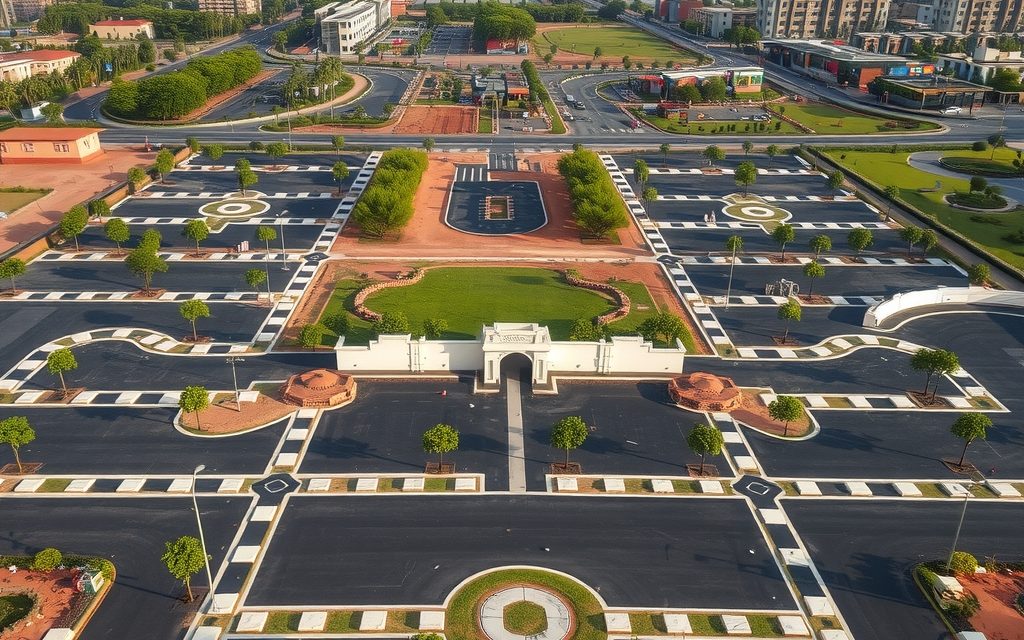
HMDA plots in the airport town on NH-44 and the ORR: town, airport-side and ORR pockets, indicative per-sq-yd prices, what the former GO 111 zone means and airport height limits.
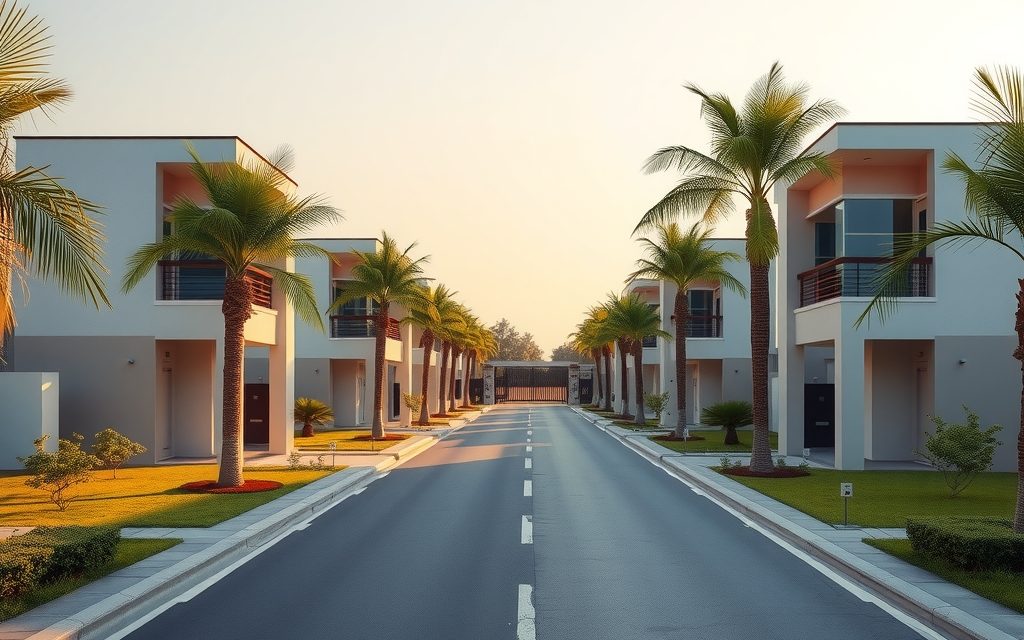
Shamshabad is an early-stage villa market beside Hyderabad's airport, priced well below the IT corridor. See October 2026 price ranges, where communities are coming up, what airport living involves and the legal checks that matter.
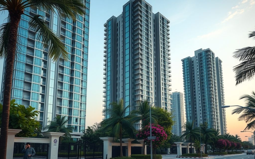
Shamshabad's apartment market is young: mid-rise gated projects and early towers beside RGIA and the Aerocity. Pockets, indicative prices, AAI height rules, aircraft noise, GO 111 checks and rental tips.
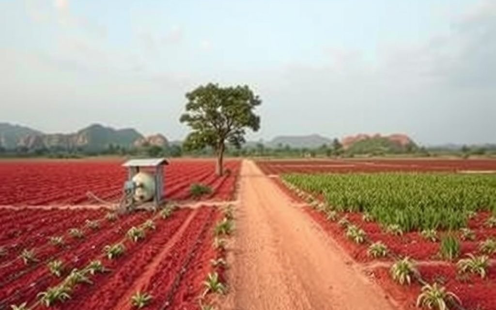
Red-soil farm land 15 km from the airport and 10 km from the Tukkuguda ORR exit, beside Fab City. Interior villages still farm vegetables, flowers and mango; ORR-facing land trades as future plot land.
HMDA villa-plot ventures on the Srisailam highway, 3 km from the ORR Tukkuguda exit between the airport and Adibatla: pockets, indicative prices, airport height limits and an honest view on Future City.
HMDA and DTCP-era plots on the Bengaluru highway between the airport and Shadnagar. Indicative per sq yd prices by ring, the HMDA edge explained, airport and industrial restrictions, and legal checks.
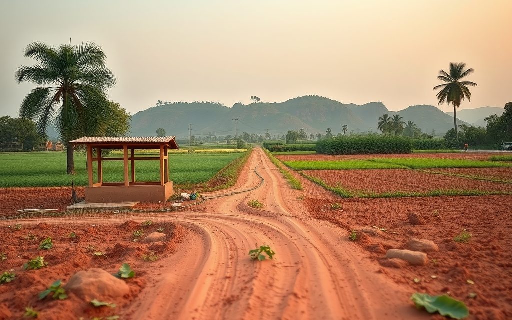
Hyderabad's closest established farmhouse belt, 10 minutes past the ORR at Himayat Sagar. Orchards, managed farm plots and estates, with the former GO 111 catchment rules explained.
NRIs and OCIs cannot buy or receive gifts of agricultural land, plantations or farmhouses; inheritance is the only route. What inherited land allows, why benami workarounds are dangerous, and the lawful alternatives near Hyderabad.